Eastern Region, Uganda

Last updated
Eastern
Uganda - Eastern.svg
Red pog.svg
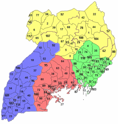
Location of Jinja in Eastern region, Uganda
Coordinates: 00°25′N033°12′E / 0.417°N 33.200°E / 0.417; 33.200
Country Uganda
RegionEastern
Regional capital Jinja
Area
[1]
  Total
39,478.8 km2 (15,242.8 sq mi)
Elevation
1,143 m (3,750 ft)
Population
 (2014 census) [2]
  Total
9,042,422
  Estimate 
(2011)
8,623,300
  Density230/km2 (590/sq mi)
Time zone UTC+3 (EAT)
HDI (2019)0.544 [3]
low · 2nd

The Eastern region is one of four regions in Uganda. [1] As of Uganda's 2014 census, the region's population was 9,042,422. [2]

Contents

Districts

As of 2010, the Eastern Region contained 32 districts: [2]

Eastern region in green. Uganda districts 2010.png
Eastern region in green.
DistrictPopulation
(Census 1991)
Population
(Census 2002)
Population
(Census 2014)
MapChief town
Amuria 69,353180,022270,9284 Amuria
Budaka 100,348136,489207,5977 Budaka
Bududa 79,218123,103210,17349 Bududa
Bugiri 171,269266,944382,9138 Bugiri
Bukedea 75,272122,433203,60083 Bukedea
Bukwa 30,69248,95289,3569 Bukwa
Bulambuli 64,57697,273174,50885 Bulambuli
Busia 163,597225,008323,66213 Busia
Butaleja 106,678157,489244,15315 Butaleja
Buyende 130,775191,266323,06788 Buyende
Iganga 235,348355,473504,19720 Iganga
Jinja 289,476387,573471,24221 Jinja
Kaberamaido 81,535131,650215,02625 Kaberamaido
Kalaki
(Pat of Kaberamaido)
109,874 Kalaki
Kaliro 105,122154,667236,19928 Kaliro
Kamuli 249,317361,399486,31930 Kamuli
Kapchorwa 48,66774,268105,18633 Kapchorwa
Katakwi 75,244118,928166,23135 Katakwi
Kibuku 91,216128,219202,03391 Kibuku
Kumi 102,030165,365239,26845 Kumi
Kween 37,34367,17193,66794 Binyiny
Luuka 130,408185,526238,02098 Luuka
Manafwa 178,528262,566353,825101 Manafwa
Mayuge 216,849324,674473,23953 Mayuge
Mbale 240,929332,571488,96054 Mbale
Namayingo 68,038145,451215,442103 Namayingo
Namutumba 123,871167,691252,56214 Namutumba
Ngora 59,392101,867141,919105 Ngora
Pallisa 166,092255,870386,89069 Pallisa
Serere 90,386176,479285,903110 Serere
Sironko 147,72997,273242,42273 Sironko
Soroti 113,872193,310296,83374 Soroti
Tororo 285,299379,399517,08275 Tororo
Total [1] [2] 4,128,4696,204,9159,042,422-Mbale

References

  1. 1 2 3 "Uganda: Administrative units (source: Uganda Bureau of Statistics)". GeoHive. Retrieved 18 June 2013.
  2. 1 2 3 4 "Uganda: Administrative Division". citypopulation.de. Retrieved 8 November 2016.
  3. "Sub-national HDI - Area Database - Global Data Lab". hdi.globaldatalab.org. Retrieved 2018-09-13.