Nakasongola District

Last updated

Nakasongola District
Nakasongola District in Uganda.svg
District location in Uganda
Coordinates: 01°18′N32°30′E / 1.300°N 32.500°E / 1.300; 32.500
CountryFlag of Uganda.svg  Uganda
Region Central Region of Uganda
Capital Nakasongola
Area
  Total3,737.6 km2 (1,443.1 sq mi)
  Land3,511.8 km2 (1,355.9 sq mi)
  Water225.8 km2 (87.2 sq mi)
Elevation
1,160 m (3,810 ft)
Population
 (2012 Estimate)
  Total156,500
  Density44.6/km2 (116/sq mi)
Time zone UTC+3 (EAT)
Website www.nakasongola.go.ug

Nakasongola District is the northernmost district of the Central Region of Uganda. The town of Nakasongola is the site of the district's administrative headquarters.

Contents

Location

Nakasongola District is bordered by Apac District to the north-west, Amolatar District to the north-east, Kayunga District to the east, Luweero District to the south, Nakaseke District to the south-west, and Masindi District to the north-west. Nakasongola, the main municipal, administrative, and commercial center of the district, is approximately 140 kilometres (87 mi), by road, north of Kampala, the capital and largest city of Uganda. [1]

Overview

Nakasongola District was created in 1997. Before that, it was part of Luweero District. The commission of inquiry into the local government system in 1987 recognized that Nakasongola was too far away from the administrative center of Luweero to be administered directly from there. Nakasongola suffered from relative neglect due to the distance from the then district headquarters. This became the basis for the creation of Nakasongola District in 1997. [2] The district covers 4,909 square kilometres (1,895 sq mi), [3] of which 4.6% is permanent wetland. [3] The district is composed of three counties, namely:

Population

The 1991 national census put the district population at about 100,500. In 2002, the census estimated the population at 127,100 people, of whom 62,312 (49.7 percent) were female and 62,985 (50.3 percent) were male. In 2012, the population of the district was estimated at 156,500. [4]

See also

Related Research Articles

<span class="mw-page-title-main">Masaka District</span> District in Buganda, Uganda

Masaka District is a district in Buganda Kingdom in Uganda. Its main town is Masaka City, whose estimated population in 2011 was 74,100.

<span class="mw-page-title-main">Kayunga District</span> District in Central Uganda, Uganda

Kayunga District is a district in Central Uganda. It is named after its chief town, Kayunga.

<span class="mw-page-title-main">Luweero District</span> District in Central Region of Uganda, Uganda

Luweero District is a district in the Central Region of Uganda. Luweero is the site of the district headquarters.

<span class="mw-page-title-main">Mukono District</span> District in Central Region of Uganda, Uganda

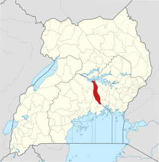
Mukono is one of the districts in the Central Region of Uganda. The town of Mukono is home to the district's main commercial center and district headquarters.

<span class="mw-page-title-main">Rakai District</span> District in Central Region of Uganda, Uganda

Rakai District is a district in the Central Region of Uganda. The town of Rakai is the site of the district's headquarters.

<span class="mw-page-title-main">Wakiso District</span> District in Central Uganda, Uganda

Wakiso District is a district in the Central Region of Uganda that partly encircles Kampala, Uganda's capital city. The town of Wakiso is the site of the district headquarters. Kira, the country's second largest city and suburb of Kampala, is in the district.

<span class="mw-page-title-main">Apac District</span> District in Northern Region, Uganda

Apac District is a district in the Northern Region of Uganda. The Town of Apac hosts the district headquarters.

<span class="mw-page-title-main">Arua District</span> District in Northern Uganda, Uganda

Arua District is a district in the Northern Region of Uganda. Like many other Ugandan districts, it shares its name with its administrative center of Arua. The name Arua is said to be derived from the Lugbara name for prison (Arujo) and prisoner (Aru), since the white settlers had a detention center at Arua Hill.

<span class="mw-page-title-main">Kibaale District</span> District in Western Region, Uganda

Kibaale District, is a district in the Western Region of Uganda. The district headquarters are in the town of Kibaale.

<span class="mw-page-title-main">Masindi District</span> District in Western Uganda, Uganda

Masindi District is a district in Western Uganda. Like many other Ugandan districts, it is named after its 'chief town' of Masindi, the location of the district headquarters.

<span class="mw-page-title-main">Jinja District</span> District in Eastern Region, Uganda

Jinja District is a district in the Eastern Region of Uganda. The town of Jinja is the district's main municipal and commercial center.

<span class="mw-page-title-main">Koboko District</span> District in Northern Region of Uganda, Uganda

Koboko District is a district in the Northern Region of Uganda. The town of Koboko is the site of the district headquarters.

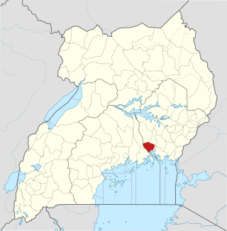
Nakasongola is a town in Nakasongola District in the Central Region of Uganda. The town is the site of the district headquarters.

Luweero is a town in the Central Region of Uganda. It is the main municipal, administrative, and commercial center of Luweero District.

<span class="mw-page-title-main">Amolatar District</span> District in Northern Uganda, Uganda

Amolatar District is a district in Northern Uganda. Like many other Ugandan districts, it is named after its main municipal and administrative centre, Amolatar Town.

<span class="mw-page-title-main">Nakaseke District</span> District in Uganda

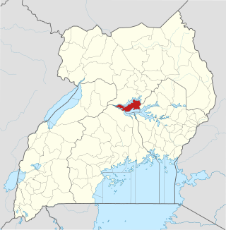
Nakaseke District is a district in Central Uganda. It is named after Nakaseke, the largest town in the district. However, the district headquarters are located at Butalangu.

Nakaseke is a town in Nakaseke District in the Central Region of Uganda. It is the main municipal and commercial center of the district. However, the political and administrative capital in the district is Butalangu.

Ziroobwe is a town in Luweero District in the Central Region of Uganda. The correct phonetic spelling in the native Luganda language is "Ziroobwe".

<span class="mw-page-title-main">Nwoya District</span> District in Northern Uganda, Uganda

Nwoya District is a district in Northern Uganda. Like most districts in Uganda, it is named after its main municipal, administrative and commercial center, Nwoya, the location of the district headquarters.

<span class="mw-page-title-main">Zombo District</span> District in Northern Uganda, Uganda

Zombo District is a district in the Northern Region of Uganda. The town of Zombo is the district's main municipal, administrative, and commercial center,

References

  1. "Road Distance Between Kampala and Nakasongola With Map". Globefeed.com. Retrieved 8 May 2014.
  2. "Profile of Nakasongola District". Uganda Travel Guide. Retrieved 8 May 2014.
  3. 1 2 "Figure 1: The location of Nakasongola district in Uganda Source:..." ResearchGate. Retrieved 3 March 2022.
  4. "Estimated Population For Nakasongola District In 1991, 2002 & 2012". Citypopulation.de. Retrieved 8 May 2014.