
County Donegal is a county of Ireland in the province of Ulster and in the Northern and Western Region. It is named after the town of Donegal in the south of the county. It has also been known as County Tyrconnell, after the historic territory. Donegal County Council is the local council and Lifford is the county town.
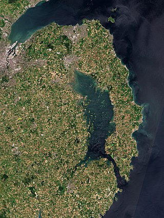
Strangford Lough is a large sea lough or inlet in County Down, in the east of Northern Ireland. It is the largest inlet in Ireland and the wider British Isles, covering 150 km2 (58 sq mi). The lough is almost fully enclosed by the Ards Peninsula and is linked to the Irish Sea by a long narrow channel at its southeastern edge. The main body of the lough has at least seventy islands along with many islets (pladdies), bays, coves, headlands and mudflats. Historically it was called 'Lough Coan', while 'Strangford' referred to the narrow sea channel. It is part of the 'Strangford and Lecale' Area of Outstanding Natural Beauty. Strangford Lough was designated as Northern Ireland's first Marine Conservation Zone in 2013, and has been designated a Special Area of Conservation for its important wildlife.

Lough Foyle, sometimes Loch Foyle, is the estuary of the River Foyle, on the north coast of Ireland. It lies between County Londonderry in Northern Ireland and County Donegal in the Republic of Ireland. Sovereignty over the waters has been in dispute since the Partition of Ireland.
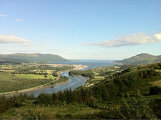
Carlingford Lough is a glacial fjord or sea inlet in northeastern Ireland, forming part of the border between Northern Ireland to the north and the Republic of Ireland to the south. On its northern shore is County Down, the Mourne Mountains, and the town of Warrenpoint; on its southern shore is County Louth, the Cooley Mountains and the village of Carlingford. The Newry River flows into the loch from the northwest.
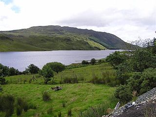
Lough Finn is a freshwater lough (lake) in County Donegal, Ireland. The lough, along with its neighbouring village of Fintown, was named after a mythological woman, Finngeal, who drowned in the lake after attempting to save her wounded brother Feargamhain. The water from Lough Finn outflows into the River Finn.
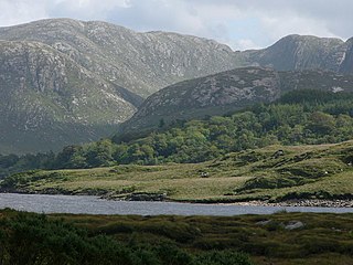
Dunlewey Lough, or Dunlewy Lough, is a lake in County Donegal, Ireland. It lies at the foot of Errigal and beside the hamlet of Dunlewey. It is separated from the larger Lough Nacung Upper, to the west, by a narrow strip of land. The Cronaniv Burn, which flows through the Poisoned Glen, flows into the Devlin River very near where that river flows into Dunlewey Lough. The Devlin River flows into the south-eastern end of the lough, on the southern edge of Dunlewey village.

Inch Island is in Lough Swilly, a sea lough in County Donegal on the northern coast of Ireland.

Garadice Lough (Irish: Loch Guth Ard Deas, also known as Garadice Lake or Lough Garadice, is a freshwater lake in County Leitrim, Ireland. It is located in the south of the county and now forms part of the Shannon–Erne Waterway.

Lough Beagh, also known as Lough Veagh, is a freshwater lake in the northwest of Ireland. It is located in north County Donegal and is part of Glenveagh National Park.
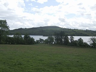
Lough Fern is a freshwater lake in the northwest of Ireland. It is located in north County Donegal near the town of Milford.

Lough Gill is a freshwater lake in the southwest of Ireland. It is located on the Dingle Peninsula in County Kerry.

Lough Bunny is a freshwater lake in the Burren, County Clare, Ireland.

Lough Barra is a freshwater lake in the northwest of Ireland. It is located in north County Donegal in the valley along the Gweebarra fault.
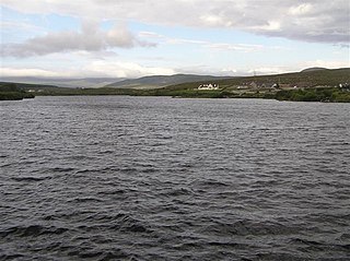
Dunglow Lough, also known as Dungloe Lough, is a freshwater lake in the northwest of Ireland. It is located in north County Donegal in the Rosses fishery.

Kindrum Lough is a freshwater lake in the northwest of Ireland. It is located in north County Donegal on the Fanad Peninsula.
Lough Craghy, also locally known as Tully Lake, is a freshwater lake in the northwest of Ireland. It is located in north County Donegal in the Rosses fishery.
Annaghmore Lough is a freshwater lake in the west of Ireland. It is located in County Roscommon in the catchment of the upper River Shannon.

Lough Mourne is a freshwater lake in east County Donegal, Ireland, near County Tyrone.
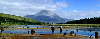
The Clady River is a small river in Gweedore, a district in the north-west of County Donegal in Ulster, the northern province in Ireland. The river flows entirely within the Civil Parish of Tullaghobegly.


