A pen is a common writing instrument that applies ink to a surface, usually paper, for writing or drawing. Early pens such as reed pens, quill pens, dip pens and ruling pens held a small amount of ink on a nib or in a small void or cavity that had to be periodically recharged by dipping the tip of the pen into an inkwell. Today, such pens find only a small number of specialized uses, such as in illustration and calligraphy. Reed pens, quill pens and dip pens, which were used for writing, have been replaced by ballpoint pens, rollerball pens, fountain pens and felt or ceramic tip pens. Ruling pens, which were used for technical drawing and cartography, have been replaced by technical pens such as the Rapidograph. All of these modern pens contain internal ink reservoirs, such that they do not need to be dipped in ink while writing.

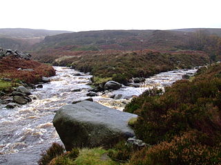
The River Etherow in northern England is a tributary of the River Goyt. Although now passing through South Yorkshire, Derbyshire and Greater Manchester, it historically formed the ancient county boundary between Cheshire and Derbyshire. The upper valley is known as Longdendale. The river has a watershed of approximately 30 square miles (78 km2), and the area an annual rainfall of 52.5 inches (1,330 mm).

The River Tame flows through Greater Manchester, England. It rises on Denshaw Moor and flows to Stockport where it joins the River Goyt to form the River Mersey.

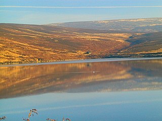
Thirlmere is a reservoir in the Borough of Allerdale in Cumbria and the English Lake District. The Helvellyn ridge lies to the east of Thirlmere. To the west of Thirlmere are a number of fells; for instance, Armboth Fell and Raven Crag both of which give views of the lake and of Helvellyn beyond.

Kleeneze is a British homeware company operating throughout the United Kingdom providing everyday laundry and cleaning staples and appliances, to UK retailers. Founded in 1923 in Hanham, Bristol, it is now owned by Manchester-based brands house Ultimate Products, as part of their wider portfolio of homeware brands.

United Utilities Group plc (UU) is the United Kingdom's largest listed water company. It was founded in 1995 as a result of the merger of North West Water and NORWEB. The group manages the regulated water and waste water network in North West England, which includes Cumbria, Greater Manchester, Lancashire, Merseyside, most of Cheshire and a small area of Derbyshire, which have a combined population of more than seven million.

Marsden railway station serves the village of Marsden near Huddersfield in West Yorkshire, England. The station is on the Huddersfield Line, operated by Northern and is about 7 miles (11 km) west of Huddersfield station. It was opened in 1849 by the London & North Western Railway and is the last station before the West Yorkshire boundary with Greater Manchester. The station is operated by Northern Trains, but only Transpennine Express trains call here.

Saddleworth Moor is a moorland in North West England. Reaching more than 1,312 feet (400 m) above sea level, it is in the Dark Peak area of the Peak District National Park. It is crossed by the A635 road and the Pennine Way passes to its eastern side.

A toilet brush is a tool for cleaning a toilet bowl.

Crompton Moor is an area of moorland in the South Pennines, in North West England. It lies along the northeastern outskirts of Shaw and Crompton, in the Metropolitan Borough of Oldham, Greater Manchester.

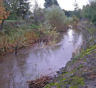
Brush Creek or Rincon Creek is a tributary of Santa Rosa Creek in Sonoma County, California. Brush Creek rises in the southern slopes of the Mayacamas Mountains within Sonoma County. The lower reach of the creek is a suburban medium density residential area in the city of Santa Rosa, and that reach of Brush Creek has been restored during the 1990s under a U.S. Environmental Protection Agency grant to promote steelhead migration and spawning. Further restoration and incorporation into citywide park planning is currently underway as of 2006. The location of the confluence with Santa Rosa Creek is particularly noteworthy, since it was a locus of prehistoric life as a village of the Pomo people and a scenic geologic feature of massive flat boulder outcrops within the stream channel.

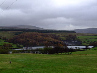
Brushes Clough Reservoir is on Crompton Moor in Shaw and Crompton, Greater Manchester, England. It was created in the 19th century by the damming of Leornardin Brook. The outlet of the reservoir flows through Brushes Clough to merge with Old Brook, a tributary of the River Beal.

For the reservoirs near Stalybridge, in Tameside, Greater Manchester, see Higher Swineshaw Reservoir and Lower Swineshaw Reservoir

Hurst Reservoir is a former, now disused, reservoir near Glossop, north Derbyshire.

Walkerwood Reservoir is a reservoir in the Brushes valley above Stalybridge in Greater Manchester, built in the 19th century to provide a supply of safe drinking water. It is owned and operated by United Utilities.

Brushes Reservoir is the second lowest reservoir of a series of four in the Brushes valley above Stalybridge in Greater Manchester, England. It was built in the 19th century to provide a supply of safe drinking water. It is owned and operated by United Utilities. The reservoir dam consists of a clay core within an earth embankment.

For the reservoirs near Glossop, in Derbyshire, see Upper Swineshaw Reservoir and Swineshaw Reservoir (Derbyshire)


