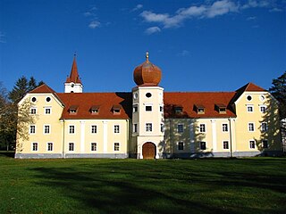
Kutjevo is a town in eastern Croatia. It is located in the Slavonia region, northeast of town of Požega.

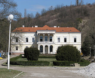
Pleternica is a town in the region of Slavonia, Croatia, 12 km (7.5 mi) southeast of Požega, in the Požega Valley. The population of the municipality is 11,323, with 3,418 in Pleternica itself (2011).

Žumberak is a village and a municipality in Croatia in the Zagreb County. According to the 2011 census, there are 883 inhabitants, 98% of which are Croats. Žumberak municipality covers an area of 110 km2 (42 sq mi). The municipal centre is located in the village of Kostanjevac.
Stari Gradac is a village in Croatia. It is connected by the D2 highway.
Cage is a village in Croatia. It is connected by the D5 highway.
Sibinj Krmpotski is a village in Croatia. It is connected by the D8 highway and is part of the group of villages called Krmpote.

Novi Mikanovci is a village in Croatia. It is connected by the D46 highway.

Ika is a small village in Croatia.It is a suburb of Opatija settled in Kvarner bay area under the Učka Mountain. It is connected by the D66 state road with Rijeka and Pula. As a part of Opatija it has been developed from fisherman‘s village to tourist destination with access to Lungomare beaches and proximity of Nature park Učka. In ika are 2 beaches separated by a pier. In this small city you can find restaurants and a hotel located in front of the beach.
Graboštani is a village in Croatia. It is connected by the D224 highway.
Gornji Laduč is a village in Croatia. It is connected by the D225 highway.

Prigorje Brdovečko is a village in Croatia. It is connected by the D225 highway.
Vurot is a village in Croatia.
Leprovica is a settlement in the Dugo Selo town of Zagreb County, Croatia. As of 2011 it had a population of 254 people.
Keleminovec is a settlement (naselje) in the Sveti Ivan Zelina administrative territory of Zagreb County, Croatia. In 2011, it had a population of 116.
Krečaves is a settlement (naselje) in the Sveti Ivan Zelina administrative territory of Zagreb County, Croatia. As of 2011 it had a population of 256 people.
Križevčec is a settlement (naselje) in the Sveti Ivan Zelina administrative territory of Zagreb County, Croatia. As of 2011 it had a population of 102 people.
Majkovec is a settlement (naselje) in the Sveti Ivan Zelina administrative territory of Zagreb County, Croatia. As of 2011 it had a population of 194 people.
Novo Mjesto is a settlement (naselje) in the Sveti Ivan Zelina administrative territory of Zagreb County, Croatia. As of 2011 it had a population of 147 people.
Negovec is a settlement (naselje) in the Vrbovec administrative territory of Zagreb County, Croatia. As of 2011 it had a population of 176 people.
Pirakovec is a settlement (naselje) in the Vrbovec administrative territory of Zagreb County, Croatia. As of 2011 it had a population of 170 people.
