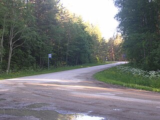
Newfield is a census-designated place (CDP) in Tompkins County, New York, United States. The population was 759 at the 2010 census.
Khattuni is a rural locality in Vedensky District, Chechnya.
This is a list of the extreme points on land of Estonia: the points that are farther north, south, east or west than any other location.

Raduša is a village located in the Užice municipality of Serbia. In the 2002 census, the village had a population of 524.
The Canton of Carvin is a canton situated in the department of the Pas-de-Calais and in the Hauts-de-France region of northern France.

Zawada is a village in the administrative district of Gmina Tarnów, within Tarnów County, Lesser Poland Voivodeship, in southern Poland.

Lebiedzie-Kolonia is a village in the administrative district of Gmina Sterdyń, within Sokołów County, Masovian Voivodeship, in east-central Poland. It lies approximately 21 kilometres (13 mi) north of Sokołów Podlaski and 96 km (60 mi) north-east of Warsaw.

Dąbrowa-Las is a village in the administrative district of Gmina Policzna, within Zwoleń County, Masovian Voivodeship, in east-central Poland. It lies approximately 10 kilometres (6 mi) north of Zwoleń and 95 km (59 mi) south-east of Warsaw.

Dołki is a village in the administrative district of Gmina Strzelce Opolskie, within Strzelce County, Opole Voivodeship, in south-western Poland. It lies approximately 11 kilometres (7 mi) north of Strzelce Opolskie and 23 km (14 mi) east of the regional capital Opole.
The Cheese Country Trail is a 47-mile (76 km) multi-use rail trail in south central Wisconsin.
Sarkin Haoussa is a village and rural commune in Niger.

Jovine Livade is a village in the municipality of Prokuplje, Serbia. According to the 2002 census, the village has a population of 11 people.

Donje Sinkovce is a town in Serbia. According to the 2002 census, the town has a population of 1661 people.

Virve is a village in Kuusalu Parish, Harju County in northern Estonia, on the territory of Lahemaa National Park. It's located on the Juminda Peninsula.

Sveštica is a village in the municipality of Ivanjica, Serbia. According to the 2011 census, the village has a population of 1,295 inhabitants.
Visusti is a village in Järva Parish, Järva County in northern-central Estonia.
Rõuma is a village in Lääne-Nigula Parish, Lääne County, in western Estonia.
Hosby is a village in Vormsi Parish, Lääne County, in western Estonia.

Clarence is a hamlet and census-designated place (CDP) within the town of Clarence in Erie County, New York, United States. The population was 2,646 at the 2010 census.
Zelamkhin-Kotar, also known by Russian name Oktyabrskoye, is a rural locality in Vedensky District, Chechnya.


