| Malo Ubeljsko | |
|---|---|
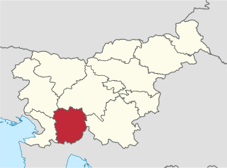
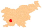
 Malo Ubeljsko Location in Slovenia | |
| Coordinates: 45°46′20.52″N14°4′55.36″E / 45.7723667°N 14.0820444°E Coordinates: 45°46′20.52″N14°4′55.36″E / 45.7723667°N 14.0820444°E | |
| Country | |
| Traditional region | Inner Carniola |
| Statistical region | Littoral–Inner Carniola |
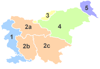
| Municipality | Postojna |
| Area | |
| • Total | 2.47 km2 (0.95 sq mi) |
| Elevation | 565.5 m (1,855.3 ft) |
| Population (2002) | |
| • Total | 55 |
| [1] | |
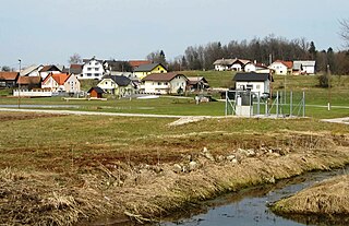
Malo Ubeljsko (pronounced [ˈmaːlɔ ˈuːbəlskɔ] ; Italian : Oblisca piccola, German : Kleinubelsko [2] [3] ) is a small village below the eastern slopes of the Nanos Plateau in the Municipality of Postojna in the Inner Carniola region of Slovenia. [4]

Italian is a Romance language of the Indo-European language family. Italian, together with Sardinian, is by most measures the closest language to Vulgar Latin of the Romance languages. Italian is an official language in Italy, Switzerland, San Marino and Vatican City. It has an official minority status in western Istria. It formerly had official status in Albania, Malta, Monaco, Montenegro (Kotor) and Greece, and is generally understood in Corsica and Savoie. It also used to be an official language in the former Italian East Africa and Italian North Africa, where it plays a significant role in various sectors. Italian is also spoken by large expatriate communities in the Americas and Australia. In spite of not existing any Italian community in their respective national territories and of not being spoken at any level, Italian is included de jure, but not de facto, between the recognized minority languages of Bosnia-Herzegovina and Romania. Many speakers of Italian are native bilinguals of both standardized Italian and other regional languages.

German is a West Germanic language that is mainly spoken in Central Europe. It is the most widely spoken and official or co-official language in Germany, Austria, Switzerland, South Tyrol (Italy), the German-speaking Community of Belgium, and Liechtenstein. It is also one of the three official languages of Luxembourg and a co-official language in the Opole Voivodeship in Poland. The languages which are most similar to German are the other members of the West Germanic language branch: Afrikaans, Dutch, English, the Frisian languages, Low German/Low Saxon, Luxembourgish, and Yiddish. There are also strong similarities in vocabulary with Danish, Norwegian and Swedish, although those belong to the North Germanic group. German is the second most widely spoken Germanic language, after English.

A village is a clustered human settlement or community, larger than a hamlet but smaller than a town, with a population ranging from a few hundred to a few thousand. Though villages are often located in rural areas, the term urban village is also applied to certain urban neighborhoods. Villages are normally permanent, with fixed dwellings; however, transient villages can occur. Further, the dwellings of a village are fairly close to one another, not scattered broadly over the landscape, as a dispersed settlement.