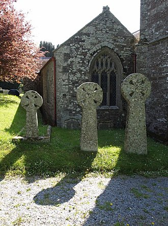
Manaton is a village situated to the southeast of Dartmoor National Park, Devon, England.

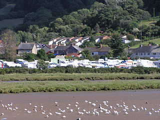
Slapton is a village and civil parish in the South Hams district of Devon, England. It is located near the A379 road between Kingsbridge and Dartmouth, and lies within the South Devon Area of Outstanding Natural Beauty (AONB). The nearby beach is Slapton Sands; despite its name, it is not a sandy beach but a shingle one.

Cookbury is a village and civil parish in the local government district of Torridge, Devon, England. The parish, which lies about five miles east of the town of Holsworthy, is surrounded clockwise from the north by the parishes of Thornbury, Bradford, Ashwater, Hollacombe, and Holsworthy Hamlets. In 2001 its population was 158, little changed from the 146 residents it had in 1901.

Atherington is a village and civil parish in the North Devon district of Devon, England, about 8 miles south of Barnstaple. According to the 2001 census the parish had a population of 391.
Axmouth is a village, civil parish and former manor in the East Devon district of Devon, England, near the mouth of the River Axe. The village itself is about 1 mile (1.6 km) inland, on the east bank of the Axe estuary. The parish extends along the estuary to the sea, and a significant distance to the east. The village is near Seaton and Beer which are on the other side of the Axe estuary. According to the 2001 census the parish had a population of 493.

Willand is a village and civil parish within the Local Government district of Mid Devon, England.

Yarnscombe is a small village and parish in the Torridge area of Devon, England. It is situated approximately 5 miles (8 km) from Great Torrington and 8 miles (13 km) from Barnstaple. In the year 2001 census the population was recorded at 300.

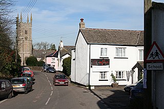
Tedburn St Mary is a village and civil parish in the Teignbridge district of Devon, England, approximately 8 miles west of Exeter. It has a population of approximately 1500. The village is the principal population centre of the electoral ward called Teignbridge North. The population of the ward at the 2011 census is 2,715.

East Anstey is a village and civil parish in the North Devon district of Devon, England. The parish is located in an area which has been designated as an area of 'Great Landscape Value'. The village falls within the South Molton Deanery for ecclesiastical purposes. The village has a Grade II listed church, the Church of St Michael, which has a 15th-century tower and south porch but which was largely rebuilt in 1871.
Exbourne is a village and civil parish in the English county of Devon. The Anglo-Saxon origin of the name is gæces burn - Cuckoo Stream. It occupies a hillside location between the River Okement and the Hole Brook, about 5 miles north of Okehampton in West Devon, and height above sea level ranges between 280 Ft. and 484 Ft. It lies in a primarily agricultural location and the local parish council represents both Exbourne and nearby Jacobstowe. The population of the ward which represents Exbourne and all surrounding villages was 1,695 at the 2011 census.

The River Thrushel is a river in Devon, England.

Maluenda is a municipality in the province of Zaragoza, Aragon, Spain. According to the 2004 census (INE), the municipality has a population of 1,020 inhabitants.

Week St Mary is a village and civil parish in northeast Cornwall, England, United Kingdom. It is situated south of Bude close to the River Tamar and the border between Cornwall and Devon in the Hundred of Stratton. The parish population at the 2011 census is 657.

North Tamerton is a village and civil parish in east Cornwall, England, UK. The village is situated approximately eight miles (13 km) southeast of Bude and eight miles (13 km) north of Launceston.

St Stephens by Launceston Rural is a civil parish in the east of Cornwall, England, United Kingdom. It is in the Registration district of Launceston. The population of the parish in the 2001 census was 312, increasing to 360 and including Dutson at the 2011 census. The former parish of St Stephens by Launceston was abolished in 1894: St Stephens by Launceston Urban became part of the town of Launceston, while St Stephens by Launceston Rural became part of Launceston Rural District.

Gittisham is a village and civil parish in Devon near Honiton. The village is 3 miles (5 km) from Ottery St Mary and it has a church called St Michael. The parish is surrounded, clockwise from the north, by the parishes of Awliscombe, Honiton, Sidmouth, Ottery St Mary, Feniton and Buckerell.

Clawton is a village and civil parish in the far west of Devon, England. It forms part of the local government district of Torridge. The village lies about three miles south of the town of Holsworthy on the A388 road. The parish is surrounded clockwise from the north-west by the parishes of Pyworthy, Holsworthy Hamlets, Ashwater, and Tetcott. Its western border follows the River Tamar which forms the county boundary with Cornwall. In 2001 its population was 326, slightly down from 389 in 1901.

St Giles on the Heath, sometimes hyphenated as St Giles-on-the-Heath, is a village and civil parish in the far west of Devon, England. It forms part of the local government district of Torridge. The village is in the east of the parish and lies on the A388 road about eight miles south of the town of Holsworthy.

Pancrasweek is a civil parish and hamlet in the far west of Devon, England forming part of the local government district of Torridge and lying about three miles north west of the town of Holsworthy.

Sydenham Damerel, previously South Sydenham, is a village, parish and former manor in Devon, situated 4 miles north-west of Tavistock.