Washington County is a county located in the state of Florida. As of the 2010 census, the population was 24,935. Its county seat is Chipley. Washington County is a prohibition or entirely dry county, meaning that the sale of alcoholic beverages is banned in the county.

Union County is a county located in the U.S. state of Ohio. As of the 2010 census, the population was 52,300. Its county seat is Marysville. Its name is reflective of its origins, it being the union of portions of Franklin, Delaware, Madison, and Logan counties.

Marshall County is a county located in the U.S. state of Kansas. As of the 2010 census, the county population was 10,117. The largest city and county seat is Marysville.

Meriwether County is a county located in the west central portion of the U.S. state of Georgia. As of the 2010 census, the population was 21,992. The county seat is Greenville, home of the Meriwether County Courthouse. The county was formed on December 14, 1827 as the 73rd county in Georgia. It was named for David Meriwether, a general in the American Revolutionary War and member of Congress from Georgia.

Catoosa County is a county located in the northwestern part of the U.S. state of Georgia. As of the 2010 census, the population was 63,942. The county seat is Ringgold. The county was created on December 5, 1853. The meaning of the Cherokee language name "Catoosa" is obscure.

Marysville is a city in Marion County, Iowa, United States. The population was 66 at the 2010 census.

Clare is a small unincorporated community in White River Township, Hamilton County, Indiana.
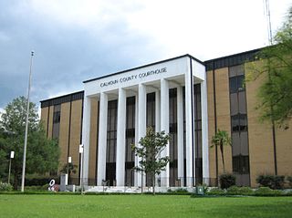
Scotts Ferry is an unincorporated community in Calhoun County, Florida, United States. It is located on State Road 71.

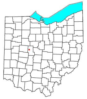
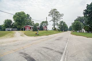
Raymond is a census-designated place in eastern Liberty Township, Union County, Ohio, United States. Although it is unincorporated, it has a post office, with the ZIP code of 43067. It is located at the intersection of State Routes 347 and 739.

Pleasant Township is one of seven townships in Wabash County, Indiana, United States. As of the 2010 census, its population was 2,412 and it contained 1,020 housing units.

Anderson Township is one of fourteen townships in Madison County, Indiana, United States. As of the 2010 census, its population was 56,436 and it contained 28,001 housing units. Aside from the exclaves of Country Club Heights, Woodlawn Heights and River Forest and the town of Edgewood, the entire township is within the city limits of Anderson.

Nabb is an unincorporated community in Clark and Scott counties, in the U.S. state of Indiana.

Marysville is an unincorporated community in Oregon Township, Clark County, Indiana.

Pottersburg is an unincorporated community in Allen Township, Union County, Ohio, United States. It is located at 40°15′58″N83°30′03″W, along U.S. Route 33 between Marysville and Bellefountaine, about four miles west of Marysville.

New Dover is an unincorporated community in Dover Township, Union County, Ohio, United States. It is located at 40°14′48″N83°18′17″W, along U.S. Route 36, about three miles east of Marysville.

Cassella is an unincorporated community in Marion Township, Mercer County, Ohio, United States. Located at 40°24′22″N84°33′8″W, it lies at an elevation of 955 feet (291 m). Situated at the intersection of State Route 119 and Cassella-Montezuma Road in western Marion Township, it lies in the headwaters of Beaver Creek to the south of the city of Celina, the county seat of Mercer County. Other nearby communities include Maria Stein, 3 miles (4.8 km) to the east, Carthagena, 2 miles (3.2 km) to the north, and St. Henry, 4 miles (6.4 km) to the west.
La Vega High School is a public high school located in the city of Bellmead, Texas, in McLennan County, United States and classified as a 4A school by the UIL. It is a part of the La Vega Independent School District located in central McLennan County and also includes students from Waco. When the school opened, only white students were allowed to attend. In 1970, federally mandated integration caused African-American students from Carver High School to be rezoned to La Vega. In 2015, the school was rated "Met Standard" by the Texas Education Agency.

Stringtown is an unincorporated community in Washington Township, Ripley County, in the U.S. state of Indiana.

Marysville is an unincorporated community in Patoka Township, Pike County, in the U.S. state of Indiana.


