This article relies largely or entirely on a single source .(August 2024) |
Mayange | |
|---|---|
Town and sector | |
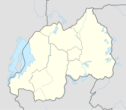 Mayange Location in Rwanda | |
| Coordinates: 2°12′24″S30°08′29″E / 2.20654°S 30.14141°E | |
| Country | |
| Province | Eastern Province |
| District | Bugesera District |
| Area | |
| 146.8 km2 (56.7 sq mi) | |
| Population (2022 census) [1] | |
| 54,084 | |
| • Density | 368.4/km2 (954.2/sq mi) |
| • Urban | 35,039 |
Mayange is a town and sector in Bugesera District, Eastern Province in Rwanda, with a population of 54,084 (2022 census) and an area of 146.8 square kilometers.