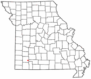
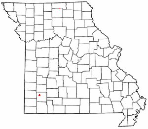
Heatonville is a small unincorporated community in Lawrence County, Missouri, United States. It lies along former U.S. Route 66, approximately six miles (10 km) north-east of Mount Vernon.

Phelps is an unincorporated community in Lawrence County, Missouri, United States. It lies along former U.S. Route 66, twenty-one miles east of Carthage.
Rescue is a small unincorporated community in western Lawrence County, Missouri, United States. It lies along Route 96, approximately eighteen miles east of Carthage.

Logan is an unincorporated community in eastern Lawrence County, Missouri, United States. It is located off U.S. Route 60, one mile northeast of Marionville. Several homes are located there.
Ebenezer is an unincorporated community in Greene County, Missouri, United States. It lies two miles north of McDaniel Lake north of Springfield and 1.25 miles east of Route 13. The community is at the head of the King Branch of the North Dry Sac River.

Chesapeake is an unincorporated community and census-designated place in Lawrence County, Missouri, United States. It is located on Route 174, approximately five miles east of Mount Vernon.
Whitesville is an unincorporated community in Andrew County, in the U.S. state of Missouri.
Elliott is an unincorporated community in Lawrence County, in the U.S. state of Missouri.
Gaither is an extinct town in Lawrence County, in the U.S. state of Missouri.
Grays Point is an unincorporated community in Lawrence County, in the U.S. state of Missouri.
Lawrenceburg is an unincorporated community in Lawrence County, in the U.S. state of Missouri.
Olinger is an unincorporated community in Lawrence County, in the U.S. state of Missouri.
Opal is an unincorporated community in Lawrence County, in the U.S. state of Missouri.
Orange is an unincorporated community in Lawrence County, in the U.S. state of Missouri.
Round Grove is an unincorporated community in Lawrence County, in the U.S. state of Missouri.
Stinson is an unincorporated community in Lawrence County, in the U.S. state of Missouri.
Freistatt Township is an inactive township in Lawrence County, in the U.S. state of Missouri.
Hoberg Township is an inactive township in Lawrence County, in the U.S. state of Missouri.
Vineyard Township is an inactive township in Lawrence County, in the U.S. state of Missouri.
McKinley Township is an inactive township in Polk County, in the U.S. state of Missouri.