The Arctic Archipelago, also known as the Canadian Arctic Archipelago, is an archipelago lying to the north of the Canadian continental mainland, excluding Greenland and Iceland.
Troitsk is the name of several inhabited localities in Russia.
This is a list of the extreme points of Cyprus: the points that are farther north, south, east or west than any other location.

Rétözberencs is a village in Szabolcs-Szatmár-Bereg county, in the Northern Great Plain region of eastern Hungary.

An-Nabek or Al-Nabek is a Syrian city administratively belonging to Rif Dimashq and the capital of the Qalamoun. Located 81 kilometers (50 mi) north of Damascus and south of Homs. It has an altitude of 1255 meters. According to the Syria Central Bureau of Statistics (CBS), An-Nabek had a population of 32,548 in the 2004 census. The Monastery of Saint Moses the Abyssinian is located along the Anti-Lebanon Mountains near Nabek and dates back to at least the 6th century.

The Miyako Islands are a group of islands in Okinawa Prefecture, Japan, belonging to the Ryukyu Islands. They are situated between Okinawa Island and the Yaeyama Islands.
Kotila is a village development committee in Baitadi District in the Mahakali Zone of western Nepal. At the time of the 1991 Nepal census it had a population of 2,713 and had 472 houses in the town.
Pak Thong Chai (เทศบาลตำบลปักธงชัย), Pak Thong Chai District, Nakhon Ratchasima Province, effective 16 July 16, 2008. The TAO was originally named Mueang Pak (เมืองปัก) and was renamed together with the upgrade, as the central part of the subdistrict already forms a sub-district municipality named Mueang Pak. The TAO was created in 1996, covers 17.92 km2, seven villages and 4,304 citizens.
Axtaçı Muğan is a village and municipality in the Sabirabad Rayon of Azerbaijan. It has a population of 1,914.
Motian is a village in Jhelum District, Punjab province, Pakistan.
Nova Nadezhda is a village in the municipality of Haskovo, in Haskovo Province, in southern Bulgaria.
Seira is a village in Lääneranna Parish, Pärnu County, in western Estonia.
Labugolla is a village in Sri Lanka. It is located within Central Province.
Welagama is a village in Sri Lanka. It is located within North Western Province.
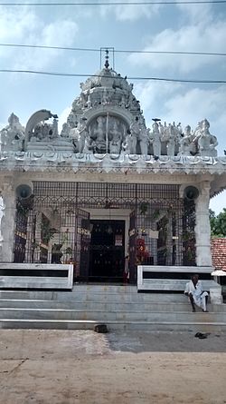
Chintapatla is a village in Ranga Reddy district in Telangana, India. It falls under Yacharam mandal.
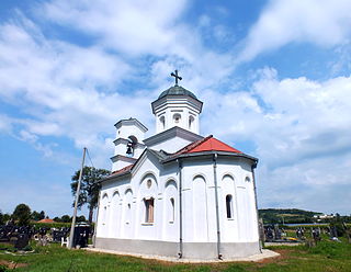
Divci is a village in the municipality of Valjevo, Serbia. According to the 2002 population census, the village has a population of 717 people.
Dighikala west is a village in Hajipur, vaishali district, Bihar state of India.

Kouassi-Kouassikro Department is a department of N'Zi Region in Lacs District, Ivory Coast. In 2021, its population was 30,962 and its seat is the settlement of Kouassi-Kouassikro. The sub-prefectures of the department are Kouassi-Kouassikro and Mékro.
Chandpur Bhangaha is a village in the Purnia district of Bihar, India.
Panewadi is a village in Nandgaon Taluka near Manmad, belongs to Khandesh and Northern Maharashtra region in Nashik district. It is located 95 km towards East from District headquarters Nashik, 260 km from State capital Mumbai. Khadgaon (6), Mohegaon (6), Karhi (6), Kundalgaon (9), and Laxminagar (9) are the nearby villages to Panewadi. Panewadi is surrounded by Yeola Taluka to the south, Chandwad Taluka to the west, Malegaon Taluka to the north, and Deola Taluka to the west. It is one of the 100 villages of Nandgaon Block of Nashik district. The village is home to 2842 people, among them 1472 (52%) are male and 1370 (48%) are female. 78% of the whole population are from general caste, 10% are from schedule caste and 12% are schedule tribes. Child population of Panewadi village is 16%, among them 54% are boys and 46% are girls. According to the administration register, the village code of Panewadi is 550317. The village has 498 houses.