Related Research Articles

Morgan County is a county located in the central portion of the U.S. state of Missouri. As of the 2020 census, the population was 21,006. Its county seat is Versailles. The county was organized January 5, 1833, and named for General Daniel Morgan of the American Revolutionary War.
The Lamine River is a 63.8-mile-long (102.7 km) tributary of the Missouri River in central Missouri in the United States. It is formed in northern Morgan County, about 4 miles (6 km) southeast of Otterville by the confluence of Flat and Richland creeks, and flows generally northwardly through Cooper and Pettis counties. In northwestern Cooper County the Lamine collects the Blackwater River and flows into the Missouri River northeast of Lamine and 6 miles (10 km) west of Boonville. At Clifton City, the river has a mean annual discharge of 455 cubic feet per second. Below the mouth of the Blackwater River, its discharge averages 1,279 cubic feet per second

Clear Creek Township is one of fourteen townships in Cooper County, Missouri, USA. As of the 2000 census, its population was 439.

Kelly Township is one of fourteen townships in Cooper County, Missouri, USA. As of the 2000 census, its population was 676.

Lebanon Township is one of fourteen townships in Cooper County, Missouri, USA. As of the 2000 census, its population was 333.

Pawhuska Township is one of eleven townships in Camden County, Missouri, USA. As of the 2000 census, its population was 5,617.
Dry Creek Township is an inactive township in Maries County, in the U.S. state of Missouri.
Glaze Township is an inactive township in Miller County, in the U.S. state of Missouri.
Saline Township is an inactive township in Miller County, in the U.S. state of Missouri.
Brushy Creek is a stream in Morgan County in the U.S. state of Missouri. It is a tributary of Gravois Creek.
Buck Creek is an unincorporated community in Morgan County, in the U.S. state of Missouri. The community is on Missouri Route O about four miles northeast of Laurie. The location is just west of the Gravois Creek Arm of the Lake of the Ozarks.
Coffee Creek is a stream in Morgan County in the U.S. state of Missouri. It is a tributary of Little Gravois Creek and the Gravois arm of the Lake of the Ozarks.
Mill Creek is a stream in Morgan County in the U.S. state of Missouri. It is a tributary to the Gravois Creek arm of the Lake of the Ozarks.
Soap Creek is a stream in Morgan County in the U.S. state of Missouri. It is a tributary to the Lake of the Ozarks.
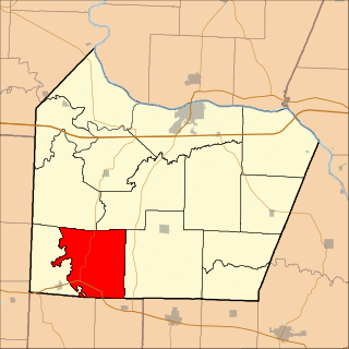
Buffalo Township is a township in Morgan County, in the U.S. state of Missouri.
Haw Creek Township is a township in Morgan County, in the U.S. state of Missouri.
Moreau Township is a township in Morgan County, in the U.S. state of Missouri.
Osage Township is a township in Morgan County, in the U.S. state of Missouri.
Richland Township is a township in Morgan County, in the U.S. state of Missouri.
Gravois Creek is a stream in south central Morgan County, Missouri. It is a tributary of the Osage River within the Lake of the Ozarks.
References
- ↑ U.S. Geological Survey Geographic Names Information System: Mill Creek Township, Morgan County, Missouri
- ↑ "Morgan County Place Names, 1928–1945". The State Historical Society of Missouri. Archived from the original on June 24, 2016. Retrieved November 19, 2016.
38°35′45″N92°52′45″W / 38.5958°N 92.8792°W
