
U.S. Route 2 or U.S. Highway 2 (US 2) is an east–west United States Numbered Highway spanning 2,571 miles (4,138 km) across the northern continental United States. US 2 consists of two segments connected by various roadways in southern Canada. Unlike some routes, which are disconnected into segments because of encroaching Interstate Highways, the two portions of US 2 were designed to be separate in the original 1926 highway plan.
U.S. Route 53, or U.S. Highway 53 (U.S. 53), is a north–south U.S. highway that runs for 404 miles (650 km) from La Crosse, Wisconsin to International Falls, Minnesota. It is the primary north–south route in northwestern Wisconsin, serving as a vital link between I-94 at Eau Claire, Wisconsin and the Twin Ports of Superior, Wisconsin, and Duluth, Minnesota. The entire route from Eau Claire to the city limits of Superior is a four lane divided highway. The highway's northern terminus is at the Fort Frances–International Falls International Bridge in International Falls, Minnesota, at the Canada–US border. Its southern terminus is in La Crosse, Wisconsin, at U.S. Highway 14.

Minnesota State Highway 33 (MN 33) is a 19.748-mile (31.781 km) state highway in northeast Minnesota, which runs from its interchange with Interstate 35 (I-35) at Cloquet and continues to its northern terminus at its interchange with U.S. Highway 53 (US 53) at Independence. The highway is constructed as a four-lane expressway with a 65 mph (105 km/h) speed limit, except for a short distance through the city of Cloquet, where the route is located on a four-lane city surface street. MN 33 is a bypass of Duluth for travelers headed to the Iron Range of northern Minnesota and International Falls.

State Highway 9 or Trunk Highway 9 is a 225.945-mile-long (363.623 km) state highway in west-central and northwest Minnesota, which runs from its intersection with MN 23 in New London and continues west and then north to its northern terminus at its intersection with US Highway 2 (US 2) in Fairfax Township near Crookston. This highway has two distinct segments, a north–south section and an east–west section, connected by US 75 between Doran and Breckenridge.
Minnesota State Highway 28 (MN 28) is a 142.324-mile-long (229.048 km) state highway in west-central and central Minnesota, which travels from South Dakota Highway 10 at the South Dakota state line near Browns Valley and continues east to its intersection with the former route of U.S. Highway 10 (US 10) in Little Falls.
Minnesota State Highway 29 (MN 29) is a 126.592-mile-long (203.730 km) highway in west-central Minnesota, which runs from its junction with U.S. Highways 59 and 212 in Montevideo and continues north to its terminus at U.S. Highway 71 in Wadena.
Minnesota State Highway 30 (MN 30) is a 265.503-mile-long (427.286 km) highway in southwest and southeast Minnesota, which runs from South Dakota Highway 34 at the South Dakota state line near Airlie, west of Pipestone, and continues to its eastern terminus at its intersection with Minnesota Highway 43 in Rushford.
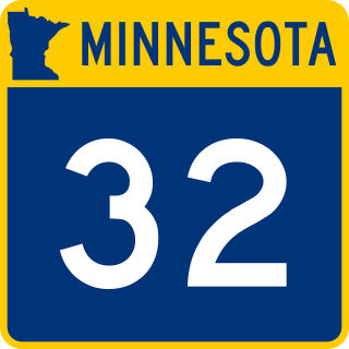
Minnesota State Highway 32 (MN 32) is a 144.845-mile-long (233.105 km) highway in west-central and northwest Minnesota, which runs from its intersection with State Highway 34 in Tansem Township near Barnesville and continues north to its intersection with State Highway 11 at Greenbush in Roseau County.
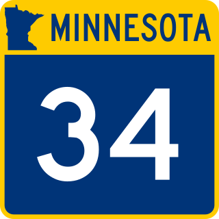
Minnesota State Highway 34 (MN 34) is a 103.163-mile-long (166.025 km) highway in west-central and north-central Minnesota, which runs from its intersection with State Highway 9 in Barnesville and continues east to its eastern terminus at its intersection with State Highways 200 and 371 in Walker.
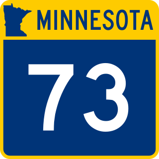
Minnesota State Highway 73 (MN 73) is a 119.697-mile-long (192.634 km) highway in northeast Minnesota, which runs from its interchange with Interstate Highway 35 in Moose Lake and continues north to its northern terminus at its intersection with U.S. Highway 53 in Field Township near Cook and Orr.
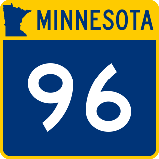
Minnesota State Highway 96 (MN 96) is a 10.179-mile-long (16.382 km) highway in Minnesota that runs from its intersection with U.S. Highway 61 in White Bear Lake and continues east to its eastern terminus at its intersection with State Highway 95 on the northern edge of Stillwater.

Minnesota State Highway 102 is a 19.297-mile-long (31.056 km) highway in northwest Minnesota, which runs from its intersection with State Highway 32 outside Fertile and continues northwest to its northern terminus at its intersection with State Highway 9 near the city of Crookston.

Minnesota State Highway 135 is a 36.160-mile-long (58.194 km) highway in northeast Minnesota, which runs from its interchange with U.S. Highway 53 in the city of Virginia and continues northeast to its northern terminus at its intersection with State Highway 1 in Tower.
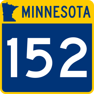
Minnesota State Highway 152 was a highway in Minnesota, connecting the cities of St. Cloud and Minneapolis. It ran parallel to U.S. Route 52 and its route number derives from this. It originally began at U.S. 52 in St. Cloud and ran to U.S. 52 in Minneapolis, at the intersection of Washington Avenue and Broadway Street.

Minnesota State Highway 171 (MN 171) is a 1.886-mile-long (3.035 km) short highway in the northwest corner of Minnesota, which runs from North Dakota Highway 59 at the North Dakota state line and continues east to its eastern terminus at its intersection with U.S. Highway 75 near St. Vincent. The route passes through St. Vincent.

Minnesota State Highway 98 was a highway in Minnesota, which ran from to U.S. Route 61 in Wyoming to U.S. Route 8 in Chisago City. It was decommissioned in 1996 and became Chisago County Road 22.

U.S. Highway 10 (US 10) is a major divided highway for almost all of its length in the U.S. state of Minnesota. The route runs through the central portion of the state, following generally the alignment of the former Northern Pacific Railway and connects the cities of Moorhead, Detroit Lakes, Wadena, Little Falls, St. Cloud, Anoka, Saint Paul, and Cottage Grove. US 10 within Minnesota is 275 miles (443 km) in length.

U.S. Route 63 is a highway in southeastern Minnesota that runs from the Minnesota-Iowa border south of Spring Valley to the Mississippi River at Red Wing. It connects the cities of Spring Valley, Stewartville, Rochester, and Lake City.
U.S. Highway 2 (US 2) is a United States Numbered Highway in northwest and northeast Minnesota, which runs from the Red River at East Grand Forks and continues east to Duluth, where the route crosses the Richard I. Bong Memorial Bridge over the Saint Louis Bay. The route connects the cities of East Grand Forks, Bemidji, Grand Rapids, and Duluth.

Minnesota State Highway 264 is a 7.394-mile-long (11.899 km) highway in southwest Minnesota, which runs from its intersection with Nobles County State-Aid Highway 21 in Round Lake and continues north to its northern terminus at its interchange with Interstate 90 and Jackson County State-Aid Highway 1, six miles east of Worthington.
