Fairbank is a city in Buchanan and Fayette counties in the U.S. state of Iowa. The population was 1,111 at the time of the 2020 census.

Waucoma is a city in Fayette County, Iowa, United States. The population was 229 at the time of the 2020 census.

Brunsville is a city in Plymouth County, Iowa, United States. The population was 129 at the 2020 census.

Tennant is a city in Shelby County, Iowa, United States. The population was 78 at the time of the 2020 census.

Promise City is a city in Wayne County, Iowa, United States. The population was 88 at the time of the 2020 census.
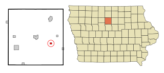
Galt is a city in Wright County, Iowa, United States. The population was 26 at the time of the 2020 census.

Carbondale is a city in Osage County, Kansas, United States. As of the 2020 census, the population of the city was 1,352. It is located south of Topeka along U.S. Route 75 four lane freeway.

Brookview is a town in Dorchester County, Maryland, United States. The population was 48 at the 2020 census. Brookview was incorporated in 1953. Brookview is governed by a three-person town council. Each member of the town council is elected by voters to a three-year term in office. The now deceased Richard E. Sullivan had previously served as mayor of the town since 1996 and was recognized at the 2017 Annual Maryland Municipal League Summer Conference as a long-serving mayor of over 25 years. The 2018 council consisted of Mayor J.D. Hurley, Commissioner Clint Falduto, Commissioner Shelly Hurley. The present 2021 council consists of Mayor Clint Falduto, Commissioner Mary Falduto, Commissioner Shelly Hurley.
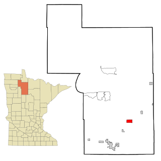
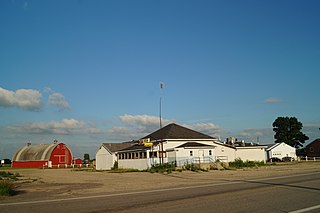
Tenstrike is a city in Beltrami County, Minnesota, United States. The population was 201 at the 2010 census. It is 21 miles northeast of Bemidji.

Marble is a city in Itasca County, Minnesota, United States. It is part of the chain of small mining towns known as the Iron Range. The population was 610 at the 2020 census.
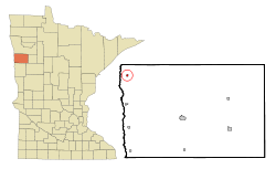
Regal is a city in northeast Kandiyohi County, Minnesota, United States, along the North Fork of the Crow River. The population was 43 at the 2020 census.

Saint Rosa is a city in Stearns County, Minnesota, United States. The population was 58 at the 2020 census. It is part of the St. Cloud Metropolitan Statistical Area.

Iron Mountain Lake is a city in St. Francois County, Missouri, United States. The population was 737 at the 2010 census.

Fifty Lakes is a city in Crow Wing County, Minnesota, United States. The population was 387 at the 2010 census. It is part of the Brainerd Micropolitan Statistical Area.

Rogers is a city in Barnes County, North Dakota, United States. The population was 49 at the 2020 census. Rogers was founded in 1897.

Oberon is a city in Benson County, North Dakota, United States. The population was 101 at the 2020 census. Oberon was founded in 1886.

Madison Township is a township in Clarion County, Pennsylvania, United States. The population was 1,163 at the 2020 census, a decrease from 1,207 in 2010, which represented, in turn, a decline from 1,442 in 2000.

Lawrence Township is a township in Clearfield County, Pennsylvania, United States. The population was 7,503 at the 2020 census. Lawrence Township borders the townships of Boggs, Bradford, Goshen, Huston, Knox, Pike and Pine in Clearfield County, as well as Benezette and Jay Townships in Elk County to the north. Lawrence Township borders the borough of Clearfield as well.

Madison is a city and former coal town in Boone County, West Virginia, United States. The population was 2,911 at the 2020 census. It is the county seat of Boone County.

Blackburn is a city in Lafayette and Saline counties in the U.S. state of Missouri and is part of the Kansas City metropolitan area. The population was 224 at the 2020 census.