
U.S. Route 54 is an east–west United States Highway that runs northeast–southwest for 1,197 miles (1,926 km) from El Paso, Texas, to Griggsville, Illinois. The Union Pacific Railroad's Tucumcari Line runs parallel to US 54 from El Paso to Pratt, Kansas, which comprises about two-thirds of the route.

Route 14 is a state highway traveling through the southern part of the U.S. state of Missouri. Its western terminus is at U.S. Route 60 (US 60) in Marionville, and its eastern terminus is at US 63 on the northern edge of West Plains. Route 14 is a two-lane highway for its entire length, however, there are plans to widen Route 14 in some spots.

Route 13 is a highway in Missouri which runs almost the entire north–south length of the state. Its northern terminus is at U.S. Route 69/136 in Bethany. Its southern terminus is at the Arkansas state line in downtown Blue Eye, Missouri–Arkansas where it continues as Highway 21. It is one of the original state highways of Missouri.

Route 86 is a highway in southwest Missouri. The eastern terminus is at U.S. Route 65 just north of Ridgedale. From there, the road crosses the Long Creek arm of Table Rock Lake and continues to Blue Eye west between the Arkansas state line on the south and Table Rock Lake on the north. This section is also in the Mark Twain National Forest, and is recommended as a scenic drive by the Missouri Department of Transportation. From Eagle Rock the road turns north to join with Route 76 at Bates Corner with which it is runs concurrent through Cassville to just east of Rocky Comfort. The road continues north and west towards Neosho, then goes further west before turning north towards Joplin where the road ends at the interchange of Interstate 44 and Route 43. Except for a short section in Neosho, the road is a two-lane highway for its entire length.
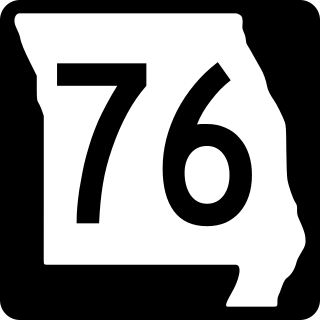
Route 76 is a highway in the west half of southern Missouri running between U.S. Route 60 and U.S. Route 63 at Willow Springs and the Oklahoma state line near Tiff City where it continues as a county road. It bypasses Branson on the Ozark Mountain High Road and is the namesake of the Branson strip, 76 Country Blvd. The road runs for its entirety through the Missouri Ozarks, and is at times very hilly and curvy.

Route 7 is a state highway with its northern terminus at U.S. Route 24 in northeast Independence and its southern terminus at Interstate 44 southeast of Richland. The section between Harrisonville and Clinton provides an important link for traffic between Springfield and Kansas City.

Route 95 is a highway in southern Missouri. Its northern terminus is at Route 32 at Lynchburg in Laclede County. Its southern terminus is at U.S. Route 160 at Lutie about 2.5 miles west of the Theodosia arm of Bull Shoals Lake in Ozark County.
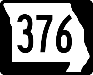
Route 376 is a short highway in Branson, Missouri. Its southern terminus is at Route 265, and its northern terminus is at Route 76.

Route 101 is a short highway in southern Missouri. The route starts at Arkansas Highway 101 at the Arkansas–Missouri state line, and travels northeastward. It travels through the city of Bakersfield, intersecting Route 142. The road then continues north to its northern terminus at U.S. Route 160 in Caulfield. The route was designated in 1941, after a supplementary route was renumbered.
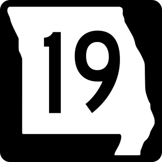
Route 19 is a long state highway in Missouri. Its northern terminus is at U.S. Route 61 in New London and its southern terminus is at U.S. Route 63 on the north side of Thayer. Route 19 is one of Missouri's original 1922 highways, though it initially had a northern terminus at Route 14 in Cuba and was later extended north.

Route 58 is a highway in western Missouri. Its eastern terminus is at U.S. Route 50 west of Warrensburg; its western terminus is at Route D west of Belton, Missouri. It is one of only a very few highways to end at a state supplemental route.

Route 42 is a highway in central Missouri. Its eastern terminus is at Route 28 south of Belle; its western terminus is at US 54 in Osage Beach.

Route 49 is a highway in eastern Missouri. Its northern terminus is at Route 19 in Cherryville; is southern terminus is at U.S. Route 67 five miles (8 km) east of Williamsville.

Route 103 is a short highway in southeastern Missouri. Its southern terminus is at Route Z inside the Ozark National Scenic Riverways. The route travels north and intersects a few county roads as it leaves the national park. The road ends at U.S. Route 60 in a three-way junction. After being proposed in 1930, a road was built from the national park to US 60 in 1933. The gravel road was designated as Route 103, and it was paved five years later.

Route 47 is a highway in eastern Missouri. Its northern terminus is at Route 79 near Winfield; its southern terminus is at U.S. Route 67 in Bonne Terre.
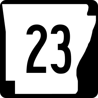
Arkansas Highway 23 is a north–south state highway in north Arkansas. The route runs 129.88 miles (209.02 km) from US 71 near Elm Park north to the Missouri state line through Ozark and Eureka Springs. Between AR 16 at Brashears and Interstate 40 north of Ozark, Highway 23 winds through the Ozark National Forest and is designated as the Pig Trail Scenic Byway due to its steep hills and hairpin turns. The route has a strong connection with the University of Arkansas Razorbacks, connecting fans in Central Arkansas with the Northwest Arkansas area.
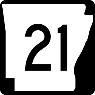
Highway 21 is a north–south state highway in north central Arkansas. The route of 99.14 miles (159.55 km) runs from US Route 64 (US 64) in Clarksville north across US 62 to Missouri Route 13 at the Missouri state line The route is a two-lane highway with the exception of a brief concurrency with US 62, a four-lane highway, in Berryville.

Arkansas Highway 25 is a northeast–southwest state highway in north central Arkansas. The route runs 85.66 miles (137.86 km) from US 64 in Conway to US 63/412 in Black Rock through Greers Ferry, Batesville, and the foothills of The Ozarks.
U.S. Route 54 in Missouri is a west-east highway that starts from the Kansas state line in Nevada to the Illinois state line in Louisiana.

K-239 is a 5.677-mile-long (9.136 km) east–west state highway in the U.S. state of Kansas. K-239's western terminus is at a diamond interchange with U.S. Route 69 (US-69) west of the City of Prescott. The eastern terminus is at the Missouri state line, where it continues as Missouri Route A. K-239 is a two-lane highway for its entire length.

