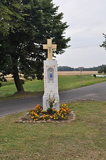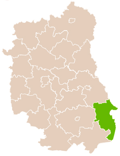
Kráľovce is a village and municipality in Košice-okolie District in the Kosice Region of eastern Slovakia.

Shatjrek is a town in the Gegharkunik Province of Armenia.

Tokary is a village in the administrative district of Gmina Turobin, within Biłgoraj County, Lublin Voivodeship, in eastern Poland. It lies approximately 8 kilometres (5 mi) west of Turobin, 29 km (18 mi) north of Biłgoraj, and 50 km (31 mi) south of the regional capital Lublin.

Shapur cave/ Shapour cave is located in the Zagros Mountains, in southern Iran, about 6 km from the ancient city of Bishapur. This cave is near Kazerun in the Chogan valley, which was the site of polo, in the Sasanian period.
Świeciechów Poduchowny-Zychówki is a village in the administrative district of Gmina Annopol, within Kraśnik County, Lublin Voivodeship, in eastern Poland.

Kłopoty-Bujny is a village in the administrative district of Gmina Siemiatycze, within Siemiatycze County, Podlaskie Voivodeship, in north-eastern Poland. It lies approximately 10 kilometres (6 mi) north-west of Siemiatycze and 72 km (45 mi) south of the regional capital Białystok.
Lisiowólka is a village in the administrative district of Gmina Wohyń, within Radzyń Podlaski County, Lublin Voivodeship, in eastern Poland.

Starzawa is a village in the administrative district of Gmina Stubno, within Przemyśl County, Subcarpathian Voivodeship, in south-eastern Poland, close to the border with Ukraine. It lies approximately 5 kilometres (3 mi) south-east of Stubno, 21 km (13 mi) north-east of Przemyśl, and 75 km (47 mi) east of the regional capital Rzeszów.

Buszkowice is a village in the administrative district of Gmina Żurawica, within Przemyśl County, Subcarpathian Voivodeship, in south-eastern Poland. It lies approximately 3 kilometres (2 mi) south of Żurawica, 4 km (2 mi) north-east of Przemyśl, and 63 km (39 mi) south-east of the regional capital Rzeszów.

Czyżów Plebański is a village in the administrative district of Gmina Zawichost, within Sandomierz County, Świętokrzyskie Voivodeship, in south-central Poland. It lies approximately 5 kilometres (3 mi) north-west of Zawichost, 17 km (11 mi) north of Sandomierz, and 84 km (52 mi) east of the regional capital Kielce.

Budziszyn is a village in the administrative district of Gmina Chynów, within Grójec County, Masovian Voivodeship, in east-central Poland. It lies approximately 4 kilometres (2 mi) south-west of Chynów, 14 km (9 mi) east of Grójec, and 38 km (24 mi) south of Warsaw.
Antoniewo is a village in the administrative district of Gmina Ostrów Mazowiecka, within Ostrów Mazowiecka County, Masovian Voivodeship, in east-central Poland.
Pątki-Ośniak is a settlement in the administrative district of Gmina Lubowidz, within Żuromin County, Masovian Voivodeship, in east-central Poland.

Świercze is a village in the administrative district of Gmina Olesno, within Olesno County, Opole Voivodeship, in south-western Poland.

Rzepiska is a village in the administrative district of Gmina Stężyca, within Kartuzy County, Pomeranian Voivodeship, in northern Poland. It lies approximately 5 kilometres (3 mi) west of Stężyca, 26 km (16 mi) south-west of Kartuzy, and 53 km (33 mi) west of the regional capital Gdańsk.

Dziubiele is a village in the administrative district of Gmina Orzysz, within Pisz County, Warmian-Masurian Voivodeship, in northern Poland. It lies approximately 15 kilometres (9 mi) west of Orzysz, 22 km (14 mi) north of Pisz, and 81 km (50 mi) east of the regional capital Olsztyn.
Rudolfstein (Fichtelgebirge) is a mountain of Bavaria, Germany.
Seehügel is a mountain of Bavaria, Germany.
The Wollenberg is a hill in Hesse, Germany.

Velji Lug is a village in the municipality of Višegrad, Bosnia and Herzegovina.


