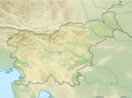
| Mojstrovica | |
|---|---|
| Highest point | |
| Elevation | 1,816 m (5,958 ft) |
| Coordinates | 46°30′12″N13°53′28″E / 46.50333°N 13.89111°E |
| Geography | |
| Location | Slovenia |
| Parent range | Karawanks |
This article relies largely or entirely on a single source .(October 2022) |
Mojstrovica (elevation 1,816 meters or 5,958 feet) is a peak in the western Karawanks in Slovenia. [1] It is accessible from the village of Belca in the Municipality of Kranjska Gora.
