The Naica Mine of the Mexican state of Chihuahua, is a lead, zinc and silver mine that also contains extremely large selenite crystals. Located in Naica in the municipality of Saucillo, the Naica Mine is owned by Industrias Peñoles, the world's largest silver producer. Caverns discovered during mining operations contain crystals of selenite (gypsum) as large as 1.2 m (4 ft) in diameter and 15 m (50 ft) long. Peñoles announced in October 2015 that it was indefinitely suspending operations due to uncontrollable flooding at the Naica Mine.
Delicias is a city in the Mexican state of Chihuahua and serves as the seat of the municipality of the same name. It is located southeast of the state capital, Chihuahua. Delicias was declared an official municipality of the state of Chihuahua on January 7, 1935. Delicias is a small industrial city and a major agricultural center located in the Conchos River Valley. As of 2015, the city of Delicias had a population of 148,045 inhabitants, while the metropolitan area had a population of 223,993 inhabitants. It was founded on 30 April 1933, making it one of Mexico's youngest cities. The municipality of Delicias is one of the smallest in the state in terms of size area.

Acaponeta is both a municipality and a town in the northern part of the Mexican state of Nayarit. The town is located at the geographical coordinates of 22°29′47″N105°21′34″W. The population of the municipality was 34,665 in the 2005 census, living in a total area of 1,667.7 km². The population of the municipal seat was 18,066, the fifth-largest community in the state. The Acaponeta River flows through the town. See maps at and

Jitotol is a town and one of the 119 Municipalities of Chiapas, in southern Mexico.
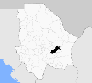
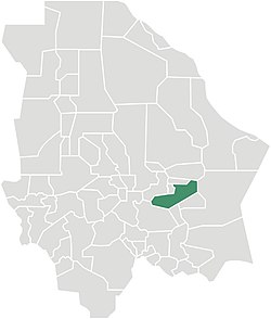
Saucillo is one of the 67 municipalities of Chihuahua, in northern Mexico. The municipal seat lies at Saucillo. The municipality covers an area of 2,116.16 km².
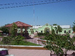
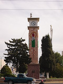
Saucillo is a city in the Mexican state of Chihuahua. It serves as the municipal seat of the surrounding municipality of Saucillo.
Cave of the Crystals or Giant Crystal Cave is a cave connected to the Naica Mine at a depth of 300 metres (980 ft), in Naica, Chihuahua, Mexico.

San Cristóbal de la Barranca is a town and municipality, in Jalisco in central-western Mexico. The municipality covers an area of 636.93 km².

Aquixtla (municipality) is a town and municipality in Puebla in south-eastern Mexico.
Atempan (municipality) is a town and municipality in Puebla in south-eastern Mexico.

Cuautempan is a town and municipality in Puebla in south-eastern Mexico.

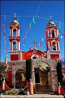
Chignahuapan Municipality is a town and municipality in Puebla in south-eastern Mexico. The municipality is the location of many touristic places very well known all over the state such as the Basilica of the Immaculate Conception, which is the biggest figure of the virgin Mary in Latin America, and also, Las Aguas Termales de Chignahuapan.

Huehuetlán el Chico (municipality) is a town and municipality in Puebla in south-eastern Mexico.
Hueytlalpan (municipality) is a town and municipality in Puebla in south-eastern Mexico.
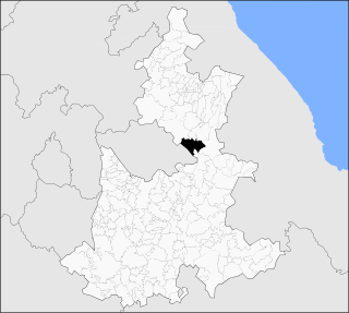
Libres is a town and municipality in Puebla in south-eastern Mexico.
Mazapiltepec de Juárez (municipality) is a town and municipality in Puebla in south-eastern Mexico.
Quecholac (municipality) is a town and municipality in Puebla in south-eastern Mexico.
Huehuetlán el Grande (municipality) is a town and municipality in Puebla in south-eastern Mexico.
Tlapacoya (municipality) is a town and municipality in Puebla in south-eastern Mexico.
Xayacatlán de Bravo is a town and municipality in Puebla in south-eastern Mexico.