Atílio Vivacqua is a Brazilian municipality in the state of Espírito Santo. Its population was 11,181 (2015) and its area is 223 km².

Barra de São Francisco is a municipality located in the Brazilian state of Espírito Santo. Its population was 38,762 (2005) and its area is 934 km².

Caxambu is a Brazilian municipality in Minas Gerais. Its population in 2010 was estimated at 21,719.

Mariana is the oldest city in the state of Minas Gerais, Brazil. It is a tourist city, founded on July 16, 1696, and retains the characteristics of a baroque city, with its churches, buildings and museums. It was the first capital of Minas Gerais.

Almenara, is a municipality in the northeast of the Brazilian state of Minas Gerais. Situated on the Jequitinhonha River it is the largest city in that river valley. Its 2007 population was estimated at 36,907 and the municipal area was 2,301 km².
Paraisópolis is a city in Minas Gerais, Brazil, with a population (2010) of 19,392.
Dois Riachos is a municipality located in the western of the Brazilian state of Alagoas. Its population is 11,727 (2005) and its area is 140 km².

Baldim is a Brazilian municipality located in the state of Minas Gerais. Its population as of 2006 is estimated to be 7,986, in a total area of 554.029 km². The city belongs to the mesoregion Metropolitana de Belo Horizonte and to the microregion of Sete Lagoas.
Pará de Minas is a Brazilian municipality located in the state of Minas Gerais.

Ijuí is a Brazilian municipality of Rio Grande do Sul, situated 395 kilometres (245 mi) from the state capital, Porto Alegre. In 2010 its population was 79,159, making it the third most populous city of the Missões region, behind Passo Fundo and Erechim. It is also known as "The Land of Diversified Cultures" due to the various nationalities of its founding immigrants, especially from Lithuania and others from Europe.

Durandé is a Brazilian municipality located in the state of Minas Gerais. The city belongs to the mesoregion of Zona da Mata and to the microregion of Manhuaçu. Districts within the county are St. John Figueira and São José da Figueira.

Frei Gaspar is a Brazilian municipality located in the northeast of the state of Minas Gerais. Its population as of 2007 was estimated to be 6,343 people living in a total area of 628 km². The city belongs to the mesoregion of Vale do Mucuri and to the microregion of Teófilo Otoni. It became a municipality in 1962.

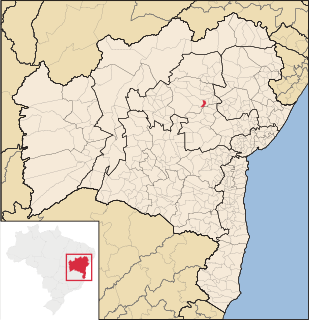
Cotegipe is a microregion and a municipality in the Brazilian state of Bahia in the north-east region of Brazil. Part of the Extremo Oeste Baiano mesoregion, the town was founded in 1820 and had a population of 13,638 as of the 2010.
Várzea do Poço is a municipality in the state of Bahia in the North-East region of Brazil. Its population was 8,661 (2010) and its area is 206.5 km².

Maraú is a municipality in the state of Bahia in the North-East region of Brazil. . The municipality is located in a peninsula called "Península de Maraú", physiographic area called "Região Cacaueira". The city is rich in minerals, especially oil shale gypsum and oil.

Gonçalves, Minas Gerais is a municipality in the state of Minas Gerais in the Southeast region of Brazil.

Muzambinho is a municipality in the state of Minas Gerais in the Southeast region of Brazil.

Ewbank da Câmara is a municipality in the state of Minas Gerais, Brazil. Belonging to the mesoregion of the Zona da Mata and the microregion of Juiz de Fora, the municipality is located some 241 km to the southeast of the state capital, Belo Horizonte. In 2014, its population was 3,914, according to the Brazilian Institute of Geography and Statistics. It occupies an area of 103.834 km². The urban area of the municipality constitutes a small part of the total. The rural area, predominantly in the municipality, has Atlantic rainforest vegetation.

Taperoá is a municipality in Bahia, Brazil.