Related Research Articles

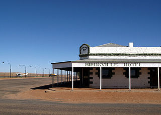
Birdsville is a rural town and locality in the Shire of Diamantina, Queensland, Australia. The locality is on the Queensland border with both the Northern Territory and South Australia. The town is situated 10 kilometres (6 mi) north of the South Australian border. In the 2021 census, the locality of Birdsville had a population of 110 people.
Cornerstone College is an independent, Lutheran, co-educational, secondary, day school, located at Mount Barker in the Adelaide Hills south-east of Adelaide, South Australia.

Wolf Rock is a set of four volcanic pinnacles two kilometres north-northeast of Double Island Point in Cooloola, Gympie Region, Queensland, Australia. The location is a popular scuba diving spot.

Kanazawa-hakkei Station is a junction railway station in Kanazawa-ku, Yokohama, Kanagawa Prefecture, Japan, operated by the private railway operator Keikyu.

Mount Pleasant is a town situated in the Barossa Council, just north of the Adelaide Hills region of South Australia, 55 kilometres east-north-east of the state capital, Adelaide. It is located in the Barossa Council and Mid Murray Council local government areas, and is at an altitude of 440 metres above sea level. Rainfall in the area averages 687 mm per annum.

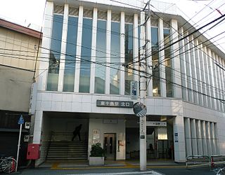
Higashi-Jūjō Station is a railway station in Kita, Tokyo, Japan, operated by East Japan Railway Company.

Ryōgoku Station is a railway station in Yokoami, Sumida, Tokyo, Japan, operated by East Japan Railway Company and Tokyo Metropolitan Bureau of Transportation (Toei).

Shinjuku-nishiguchi Station is a subway station on the Toei Oedo Line in Tokyo, Japan, operated by the Tokyo subway operator Toei Subway.

Roka-kōen Station is a railway station on the Keio Line in Setagaya, Tokyo, Japan, operated by the private railway operator Keio Corporation.

Ichigaya Station is a railway station in Chiyoda, Tokyo, Japan.

Manseibashi Station can refer to two closed railway stations all in Chiyoda, Tokyo, Japan. One was a railway station on the Japanese Government Railways Chūō Main Line and the other was a subway station in the Tokyo Subway network.

Coorong District Council is a local government area in South Australia located between the River Murray and the Limestone Coast region. The district covers mostly rural areas with small townships, as well as part of the Coorong National Park.

Lake Bathurst is a shallow lake located 27 kilometres (17 mi) south-east of Goulburn, New South Wales in Australia. It is also the name of a nearby locality in the Goulburn Mulwaree Council.
Rotowaro was once a small coal mining township approximately 10 km west of Huntly in the Waikato region of New Zealand. The town was built especially for miners houses, but was entirely removed in the 1980s to make way for a large opencast mine.
The Culcairn to Holbrook railway line is a short, closed, railway line in New South Wales, Australia. The line ran from the Main South railway line at Culcairn for 26 km east to the town of Holbrook.

Tōbu-Nerima Station is a railway station on the Tobu Tojo Line in Itabashi, Tokyo, Japan, operated by the private railway operator Tobu Railway. Despite its name, the station is not actually located in Nerima, Tokyo.

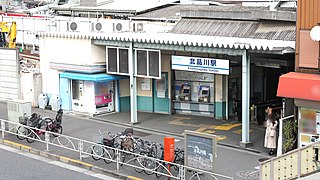
Kitashinagawa Station is a railway station on the Keikyū Main Line in Shinagawa, Tokyo, Japan, operated by Keikyu. It is numbered KK02.
Dajarra and Selwyn Branch Railways were lines in north-west Queensland, Australia. Along with the Mount Cuthbert and Dobbyn Branch Railways, they were essentially built to tap large deposits of copper discovered in the Cloncurry region.

Duchess is a rural town and locality in the Shire of Cloncurry, Queensland, Australia. In the 2021 census, the locality of Duchess had a population of 53 people.

Willows is a rural locality in the Central Highlands Region, Queensland, Australia. In the 2021 census, Willows had a population of 139 people.