
Knud Johan Victor Rasmussen was a Greenlandic-Danish polar explorer and anthropologist. He has been called the "father of Eskimology" and was the first European to cross the Northwest Passage via dog sled. He remains well known in Greenland, Denmark and among Canadian Inuit.

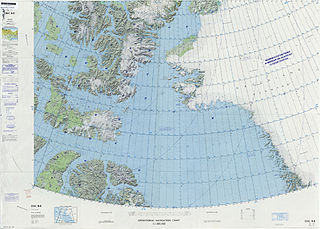
Peary Land is a peninsula in northern Greenland, extending into the Arctic Ocean. It reaches from Victoria Fjord in the west to Independence Fjord in the south and southeast, and to the Arctic Ocean in the north, with Cape Morris Jesup, the northernmost point of Greenland's mainland, and Cape Bridgman in the northeast.

Lorenz Peter Elfred Freuchen was a Danish explorer, author, journalist and anthropologist. He is notable for his role in Arctic exploration, namely the Thule Expeditions.
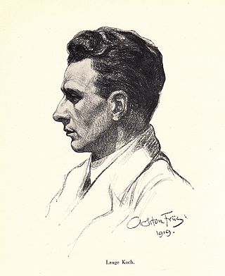
Lauge Koch was a Danish geologist and Arctic explorer.

Independence Fjord or Independence Sound is a large fjord or sound in the eastern part of northern Greenland. It is about 200 km (120 mi) long and up to 30 km (19 mi) wide. Its mouth, opening to the Wandel Sea of the Arctic Ocean is located at 82°15′N21°54′W.

Frederick E. Hyde Fjord is a fjord in Peary Land, far northern Greenland.
J.P. Koch Fjord is a fjord in Peary Land, northern Greenland. To the west, the fjord opens into the Lincoln Sea of the Arctic Ocean.

Odin Fjord is a fjord in Peary Land, far northern Greenland.

The Denmark expedition, also known as the Denmark Expedition to Greenland's Northeast Coast and the Danmark Expedition after the ship's name, was an expedition to northeastern Greenland in 1906–1908.
Freuchen Land is a peninsula in far northwestern Greenland. It is a part of the Northeast Greenland National Park.
Henson Glacier, is one of the major glaciers in northern Greenland.
Mount Wistar is a mountain in Peary Land, Northern Greenland. Administratively it is part of the Northeast Greenland National Park.
Olrik Fjord is a fjord in the Avannaata municipality, Northwestern Greenland. To the east the fjord opens into the Hvalsund, at the end of the Inglefield Gulf of the Baffin Bay.
Nordkrone is a mountainous area in Peary Land, Northern Greenland. Administratively it is part of the Northeast Greenland National Park.
Cape Washington is a headland in North Greenland. Administratively it belongs to the Northeast Greenland National Park.

The Roosevelt Range or Roosevelt Mountains is a mountain range in Northern Greenland. Administratively this range is part of the Northeast Greenland National Park. Its highest peak is the highest point in Peary Land.
The Peary Channel was a hypothetical sound or marine channel running from east to west separating Peary Land in northernmost Greenland from the mainland further south.
Citronen Fjord is a fjord in Peary Land, far northern Greenland. Administratively it is part of the Northeast Greenland National Park.
Nansen Land is a peninsula in far northwestern Greenland. It is a part of the Northeast Greenland National Park.
O.B. Bøggild Fjord is a fjord in Peary Land, far northern Greenland.

