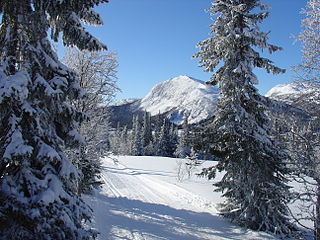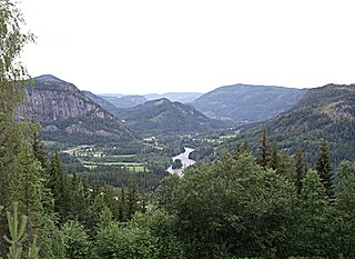
Nes i Ådal is a small village in the valley of Ådal in the municipality Ringerike in Buskerud, Norway. [1]
Ådal is a valley in the municipality of Ringerike and was a former municipality in Buskerud County, Norway.
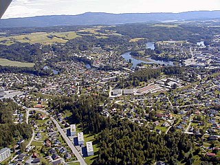
Ringerike is a municipality in Buskerud county, Norway. It is part of the traditional region of Ringerike. The administrative centre of the municipality is the town of Hønefoss.

Buskerud is a county in Norway, bordering Akershus, Oslo, Oppland, Sogn og Fjordane, Hordaland, Telemark and Vestfold. The county extends from the Oslofjord and Drammensfjorden in the southeast to Hardangervidda mountain range in the northwest. The county administration is located in Drammen. Together with Akershus and Østfold, Buskerud will form the new, larger county Viken, from 1 January 2020.
The village lies on both sides of the river Begna, just north of the river's outlet in Lake Sperillen. It is situated on European route E16 north of Hønefoss, towards Valdres and Vestlandet. The road to Hedalen splits off from the E16 at Nes.

The Begna is a river in Buskerud and Oppland counties in Norway. It is formed by the merging of the rivers Otrøelva and Ylja above Lake Vangsmjøsa. It is also the name of the village of Begna located by the river. The Norwegian writer, Mikkjel Fønhus lived much of his life and located most of his novels along the Begna in Oppland.

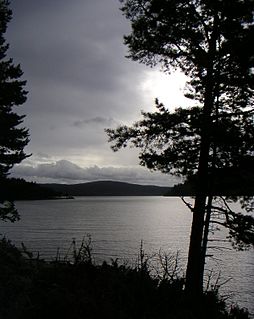
Sperillen is a lake in the valley of Ådal in Ringerike municipality, Buskerud county, Norway.

European route E 16 is the designation of a main west-east road through Northern Ireland, Scotland, Norway and Sweden, from Derry to Gävle, via Belfast, Glasgow, Edinburgh, previously by ferry to Bergen, Voss, through the Gudvanga Tunnel and the Lærdal Tunnel, Lærdal, over Filefjell to Fagernes, Hønefoss, Gardermoen and Kongsvinger. In Sweden it passes Malung, Falun and ends in Gävle.
Nes is a common Norwegian place name. In Old Norse, the word Nes means headland or promontory. In the case of Nes i Ådal, the name derives from the old farm Nes, which in medieval times was under the Diocese of Hamar. [2]

Old Norse was a North Germanic language that was spoken by inhabitants of Scandinavia and their overseas settlements from about the 9th to the 13th century.
A headland is a coastal landform, a point of land usually high and often with a sheer drop, that extends into a body of water. It is a type of promontory. A headland of considerable size often is called a cape. Headlands are characterised by high, breaking waves, rocky shores, intense erosion, and steep sea cliffs.

A promontory is a raised mass of land that projects into a lowland or a body of water.
TGC Harnessing, a division of T&G Elektro, is the main employer in Nes. It was established 25 years ago. TGC Harnessing is known for supplying specialized cable systems of very high quality. The company is active in both design and production of harnesses and cable systems. [3]
Nes Church (Nes Kirke) was built to provide a parish for the inhabitants of the eastern side of Lake Sperillen. Nes Church is a stately church with a tall steeple, cream colored wood siding and a bright red tile roof. The cruciform church dates from 1862. It was built based upon a design by architect Georg Andreas Bull. It was built of wood and has 900 seats. The church is the largest church in Hallingdal. [4]
Cruciform means having the shape of a cross or Christian cross.
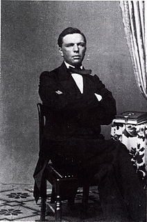
Georg Andreas Bull was a Norwegian architect and chief building inspector in Christiania for forty years. He was among the leading architects in the country, and left his mark on Norwegian building history both as a creative architect, and through his measurement studies and archeological research.

Hallingdal is a valley as well as a traditional district located in Buskerud county in Norway. It consists of six municipalities: Flå, Nes, Gol, Hemsedal, Ål and Hol.


