
U.S. Route 321 (US 321) is a spur of U.S. Route 21. It runs for 516.9 miles (831.9 km) from Hardeeville, South Carolina to Lenoir City, Tennessee; with both serving as southern termini. It reaches its northernmost point at Elizabethton, Tennessee, just northeast of Johnson City. Because of its unusual "north–south–north" routing, U.S. Route 321 intersects both Interstate 40 and U.S. Route 70 three separate times. The highway serves different roles in each state: An alternate route to interstates in South Carolina, a major highway in North Carolina, and a scenic route in Tennessee.
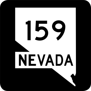
State Route 159 is a 31.204-mile (50.218 km) east–west highway in Clark County, Nevada, United States, providing access to Red Rock Canyon and serving as a thoroughfare in the Las Vegas metropolitan area. A portion of the west end of the route is designated a Nevada Scenic Byway.
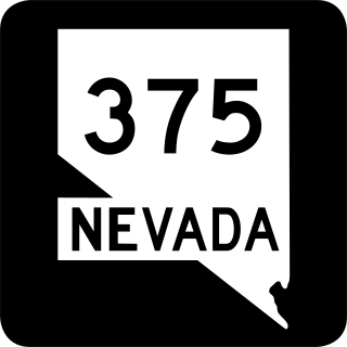
State Route 375 is a 98.414-mile (158.382 km) state highway in Nye and Lincoln counties in south-central Nevada, United States. The highway stretches from State Route 318 at Crystal Springs northwest to U.S. Route 6 at Warm Springs. The route travels through mostly unoccupied desert terrain, with much of its alignment paralleling the northern edges of the Nellis Air Force Range. The road originally traversed through what is now the northern reaches of the air force range in the 1930s, when it was previously designated State Route 25A and later part of State Route 25.
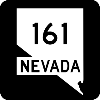
State Route 161 is a state highway in Clark County, Nevada. It is known as Goodsprings Road, connecting the town of Goodsprings to Interstate 15 at Jean. The route was part of State Route 53 prior to 1976.

State Route 610 is a state highway in Clark County, Nevada. It comprises a small portion of Lamb Boulevard in the northeastern Las Vegas Valley.

State Route 318 is a state highway in eastern Nevada. It is often used as a shortcut for long-distance traffic along U.S. Route 93, bypassing the longer and less direct route U.S. Route 93 follows between Ely and Crystal Springs. The highway was established in the 1930s as State Route 38 and State Route 38A, and was renumbered to SR 318 in 1976. At a total of 110.762 miles (178.254 km), it is the longest state route in Nevada. The road is used for open speed highway races twice a year.

State Route 169 is a state highway in Clark County, Nevada, United States. It connects the northern reaches of Lake Mead National Recreation Area to Interstate 15 (I-15) via Moapa Valley and the communities of Overton and Logandale. It is also called Northshore Road, Moapa Valley Boulevard, and Logandale Road.

State Route 230 (SR 230) is a state highway central Elko County, Nevada, United States. It is a southern loop route off of Interstate 80 (I‑80) between Elko and Wells, serving the communities of Deeth and Welcome and various ranches within Starr Valley. The road follows a U-shaped path and passes close to the East Humboldt Range. The road was constructed by 1962, but was not designated as a state highway until 1992.
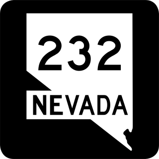
State Route 232 is a state highway in Elko County, Nevada. It covers the majority of Clover Valley Road south of Wells.

State Route 306 is a 30.631-mile (49.296 km) state highway in Lander and Eureka counties in northern Nevada, United States. It connects the mining area of Gold Acres in Lander County to Interstate 80 (I-80) at the Beowawe Interchange near Beowawe in Eureka County via Crescent Valley. The road has been a state highway since the 1920s, having been established as part of a much longer State Route 21 by 1929.
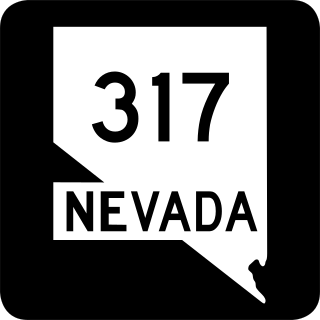
State Route 317 is a 21.490-mile-long (34.585 km) state highway in Lincoln County, Nevada. It connects the ghost town of Elgin north to U.S. Route 93 in the city of Caliente. Portions of the highway were heavily damaged by flooding in January 2005 and repairs were not yet complete as of January 2015.
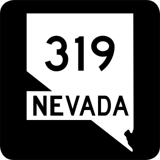
State Route 319 is a state highway in Lincoln County, Nevada. The route connects the town of Panaca to Modena, Utah. SR 319 has been part of the state highway system since at least 1932, and was part of the longer State Route 25 prior to the late 1970s.

State Route 321 is a state highway in Lincoln County, Nevada, serving the town of Pioche.

State Route 361, Gabbs Valley Road, is a 62.853-mile (101.152 km) state highway in Mineral, Nye, and Churchill counties in Nevada, United States. The highway serves the town of Gabbs following Gabbs Valley Road through the extreme northwestern tip of Nye County. Gabbs is isolated from the rest of the county, requiring travel on SR 361 through other counties in order to reach any other major town in Nye County. SR 361 was previously known as State Route 23.

State Route 400 is a state highway in central Pershing County, Nevada. It connects the rural town of Unionville to Mill City. The route originally extended further south under its prior designation as State Route 50.

State Route 398 is a state highway in Pershing County, Nevada serving the city of Lovelock. Part of the highway is former State Route 66.

U.S. Route 6 (US 6) is a United States Numbered Highway, stretching from Bishop, California, in the west to Provincetown, Massachusetts, on the East Coast. The Nevada portion crosses the center of the state, serving the cities of Tonopah and Ely, en route to Utah and points further east. Like US 50, to the north, large desolate areas are traversed by the route, with few or no signs of civilization, and the highway crosses several large desert valleys separated by numerous mountain ranges towering over the valley floors, in what is known as the Basin and Range Province of the Great Basin.

U.S. Route 395 Alternate is a 20.082-mile-long (32.319 km) alternate route of U.S. Route 395 in Washoe County, Nevada.


