
Interstate 515 (I-515) was a 20.54-mile-long (33.06 km) spur route of I-15 in the US state of Nevada that ran from the junction of I-15, US 93 and US 95 in Downtown approximately 20 miles (32 km) southeast to just north of Railroad Pass in southeastern Henderson. The freeway connected traffic headed from Boulder City and Henderson to Downtown Las Vegas via a direct, high-speed route, and it ran concurrently with, US 93, and US 95 along its entire length.

State Route 221 is a state highway in Elko County, Nevada. The route, concurrent with Interstate 80 Business follows Chestnut Street in the city of Carlin. The highway was once part of the former route of State Route 1 and former U.S. Route 40 (US 40).
State Route 304 is a state highway in Lander County, Nevada, United States. The road is the main street through the town of Battle Mountain, and is also designated Interstate 80 Business. The highway was part of SR 1 and U.S. Route 40 prior to the mid-1970s.
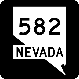
State Route 582 (SR 582) is a major 15.392-mile-long (24.771 km) highway in the Las Vegas Valley. The highway is the former route of U.S. Route 93 (US 93) and US 95 before they were moved to the current freeway alignment shared with Interstate 11 (I-11) formerly Interstate 515 (I-515). Known primarily as Boulder Highway, the route connects Downtown Las Vegas with Henderson and Boulder City to the southeast.
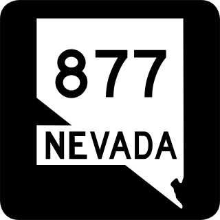
State Route 877 is a state highway in rural Washoe County, Nevada. It runs along Franktown Road in the western reaches of the Washoe Valley.
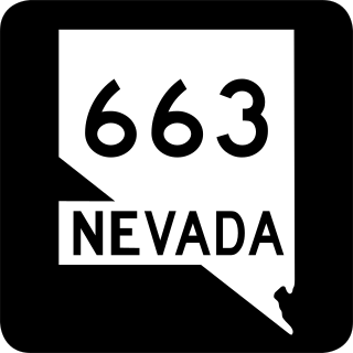
State Route 663 was an east–west state highway in Washoe County, Nevada serving the Reno-Sparks area. The route was turned over to local control in 2010.
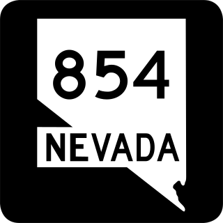
State Route 854 is a state highway in Pershing County, Nevada serving the vicinity of Lovelock. The route comprised a portion of former State Route 48.

State Route 398 is a state highway in Pershing County, Nevada serving the city of Lovelock. Part of the highway is former State Route 66.

State Route 512 was a state highway in Carson City, Nevada. It connected Kings Canyon west of Carson City to the state capitol using various city streets. The route dates to the mid-19th century, as part of a wagon trail linking Lake Tahoe and Carson City that was later incorporated into the Lincoln Highway. SR 512 was turned over to local control in 2010.

State Route 513 was a short state highway in Carson City, Nevada. The route was originally part of State Route 65, a longer highway that served the eastern outskirts of the city. SR 513 was turned over to Carson City in phases, and completely removed from the state highway system in 2011.

State Route 518 was a short state highway in Carson City, Nevada serving the state's Stewart Complex. The route originated as State Route 36. It was removed from the state highway system in 2018.

State Route 520 was a short state highway in Carson City, Nevada. The route served the central portion of the city, providing access to several government buildings in the capitol district. It was turned over to local control in 2010.

State Route 525 was a short state highway in Carson City, Nevada. It covered a portion of College Parkway and all of Airport Road in the northern part of the city. Originally designated in 1976, it was turned over to local control in 2011.

State Route 530 was a 1.464-mile-long (2.356 km) state highway in Carson City, Nevada. It followed a portion of William Street and was formerly signed as part of U.S. Route 50. The route was turned over to local control in 2010.

State Route 531 was a state highway in Carson City, Nevada. It followed a portion of College Parkway in the northern part of the city. Created by 1995, the highway was turned over to city control in 2011.

U.S. Route 395 (US 395) is an 85-mile-long (137 km) United States Numbered Highway near Lake Tahoe in the state of Nevada. It traverses the state after entering from California in Topaz Lake and crosses back into California near Hallelujah Junction. US 395 serves the cities of Gardnerville, Minden, Carson City and Reno. All of US 395 north of Carson City is a freeway and is built up to Interstate Highway standards. Part of the freeway section is also designated as Interstate 580 (I-580). US 395 is an important regional highway, serving the communities of Western Nevada, connecting them to other major communities via California, and it is the only major north–south arterial for the geographically isolated region.
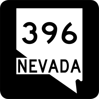
State Route 396 is a state highway in Pershing County, Nevada serving the city of Lovelock. The highway forms a portion of Interstate 80 Business within the city of Lovelock, and previously carried the alignment of former U.S. Route 40 and U.S. Route 95.
Interstate 80 Business (BL-80) is an interstate business route in Pershing County, Nevada. Serving the city of Lovelock along Cornell Avenue, BL-80 is also cosigned along portions of two other state highways through the city, State Route 396 (SR 396) from I-80 exit 105 to SR 856 at Airport Road and SR 856 from SR 396 at Upper Valley Road to I-80 exit 107.

