
Interstate 515 (I-515) was a 20.54-mile-long (33.06 km) spur route of I-15 in the US state of Nevada that ran from the junction of I-15, US 93 and US 95 in Downtown approximately 20 miles (32 km) southeast to just north of Railroad Pass in southeastern Henderson. The freeway connected traffic headed from Boulder City and Henderson to Downtown Las Vegas via a direct, high-speed route, and it ran concurrently with, US 93, and US 95 along its entire length.
The Las Vegas Beltway is a 50-mile (80 km) beltway route circling three-quarters of the Las Vegas Valley in southern Nevada. The Las Vegas Beltway carries two numerical designations. 11.1 miles (17.9 km) of the highway, from its southern terminus at Interstate 11 (I-11) / U.S. Route 93 (US 93) / US 95 in Henderson west and northwest to I-15, is signed as Interstate 215 (I-215) and maintained by the Nevada Department of Transportation. Clark County Route 215 (CC 215) composes the remaining approximately 38.9 miles (62.6 km) of this semi-circumferential highway, with the county's Department of Public Works responsible for all construction and maintenance. The beltway is a freeway up to Interstate Highway standards in its entirety.

State Route 227, most of which is more commonly known locally as Lamoille Highway, is a 20.134-mile-long (32.403 km) state highway in Elko County in northeastern Nevada.
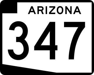
State Route 347 is a 28.69 miles (46.17 km) long, north–south state highway in central Arizona. The route begins at SR 84 and heads north. It passes through Maricopa, meeting SR 238. The route ends at an interchange with Interstate 10 (I-10) south of Chandler. It primarily serves as the major road to Maricopa; much of the road lies within the Gila River Indian Community, with another short stretch through the Ak-Chin Indian Community. The road was built in the late 1930s and established as a state highway in the 1990s. Most of it is also known as the John Wayne Parkway. On average, between 4,000 and 35,000 vehicles use the roadway daily.

Russell Road is a section line road within the Las Vegas Valley of Clark County, Nevada. It is no longer a continuous road through the valley, as Harry Reid International Airport interrupts its right of way. The eastern section terminates at the eastern edge of the airport, with the road resuming at Las Vegas Boulevard on the western edge of the airport. The intersection of Russell Road and Las Vegas Boulevard is often considered to mark the southern terminus of the Las Vegas Strip.
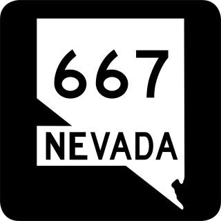
State Route 667 is a state highway in the Reno-Sparks metropolitan area of Washoe County, Nevada. It follows a portion of Kietzke Lane, a major north–south arterial in the area.
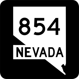
State Route 854 is a state highway in Pershing County, Nevada serving the vicinity of Lovelock. The route comprised a portion of former State Route 48.

State Route 398 is a state highway in Pershing County, Nevada serving the city of Lovelock. Part of the highway is former State Route 66.
State Route 759 is a short state highway in Douglas County, Nevada serving the county's airport facility.

State Route 511 was a short state highway that followed West Washington Street in Carson City, Nevada. It was turned over to local control in 2010.

State Route 513 was a short state highway in Carson City, Nevada. The route was originally part of State Route 65, a longer highway that served the eastern outskirts of the city. SR 513 was turned over to Carson City in phases, and completely removed from the state highway system in 2011.

State Route 518 was a short state highway in Carson City, Nevada serving the state's Stewart Complex. The route originated as State Route 36. It was removed from the state highway system in 2018.
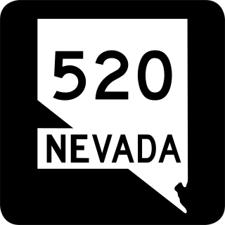
State Route 520 was a short state highway in Carson City, Nevada. The route served the central portion of the city, providing access to several government buildings in the capitol district. It was turned over to local control in 2010.

State Route 530 was a 1.464-mile-long (2.356 km) state highway in Carson City, Nevada. It followed a portion of William Street and was formerly signed as part of U.S. Route 50. The route was turned over to local control in 2010.

State Route 531 was a state highway in Carson City, Nevada. It followed a portion of College Parkway in the northern part of the city. Created by 1995, the highway was turned over to city control in 2011.

U.S. Route 395 (US 395) is an 85-mile-long (137 km) United States Numbered Highway near Lake Tahoe in the state of Nevada. It traverses the state after entering from California in Topaz Lake and crosses back into California near Hallelujah Junction. US 395 serves the cities of Gardnerville, Minden, Carson City and Reno. All of US 395 north of Carson City is a freeway and is built up to Interstate Highway standards. Part of the freeway section is also designated as Interstate 580 (I-580). US 395 is an important regional highway, serving the communities of Western Nevada, connecting them to other major communities via California, and it is the only major north–south arterial for the geographically isolated region.

State Route 429 was a rural state highway located in southern Washoe County, Nevada. It followed Bowers Mansion Road, a former alignment of U.S. Route 395. The SR 429 designation was retired in 2012, and the route has since become part of U.S. Route 395 Alternate.
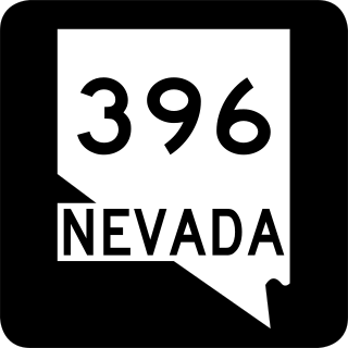
State Route 396 is a state highway in Pershing County, Nevada serving the city of Lovelock. The highway forms a portion of Interstate 80 Business within the city of Lovelock, and previously carried the alignment of former U.S. Route 40 and U.S. Route 95.

