
State Route 157, also known as Kyle Canyon Road, is a U.S. state highway in Clark County, Nevada. The highway connects the Las Vegas area to the recreational areas of Mount Charleston in the Spring Mountains.

State Route 156, also known as Lee Canyon Road, is a state highway in Clark County, Nevada. The road is one of two highways connecting U.S. Route 95 to the Humboldt-Toiyabe National Forest and Spring Mountains area northwest of Las Vegas and its entire length is designated a Nevada Scenic Byway.
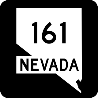
State Route 161 is a state highway in Clark County, Nevada. It is known as Goodsprings Road, connecting the town of Goodsprings to Interstate 15 at Jean. The route was part of State Route 53 prior to 1976.

State Route 318 is a state highway in eastern Nevada. It is often used as a shortcut for long-distance traffic along U.S. Route 93, bypassing the longer and less direct route U.S. Route 93 follows between Ely and Crystal Springs. The highway was established in the 1930s as State Route 38 and State Route 38A, and was renumbered to SR 318 in 1976. At a total of 110.762 miles (178.254 km), it is the longest state route in Nevada. The road is used for open speed highway races twice a year.

State Route 264 is a 33.67-mile (54.19 km) state highway in Esmeralda County, Nevada, United States. It connects California State Route 266 to U.S. Route 6 via the town of Dyer, Nevada. The majority of the route is known as Fish Lake Valley Road, with the northern portion referred to as the Dicalite Cutoff. A majority of the route was originally designated State Route 3A.

State Route 265 is a 20.5-mile (33.0 km) state highway in Esmeralda County, Nevada, United States. Referred to as Silver Peak Road, it connects the community of Silver Peak to U.S. Route 6 and U.S. Route 95. The route formerly existed as State Route 47.

State Route 267 is a 21.427-mile (34.483 km) state highway in Nevada, United States. Known as Scotty's Castle Road, the highway connects Death Valley National Park to U.S. Route 95. The route was previously designated State Route 72.
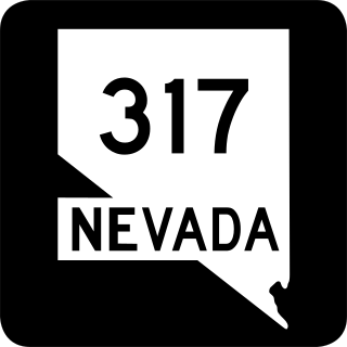
State Route 317 is a 21.490-mile-long (34.585 km) state highway in Lincoln County, Nevada. It connects the ghost town of Elgin north to U.S. Route 93 in the city of Caliente. Portions of the highway were heavily damaged by flooding in January 2005 and repairs were not yet complete as of January 2015.
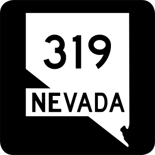
State Route 319 is a state highway in Lincoln County, Nevada. The route connects the town of Panaca to Modena, Utah. SR 319 has been part of the state highway system since at least 1932, and was part of the longer State Route 25 prior to the late 1970s.

State Route 373 is a 16.304-mile-long (26.239 km) state highway in Nye County, Nevada, United States. It is a highway connecting California State Route 127 to U.S. Route 95, providing southern Nye County access to the eastern areas of Death Valley National Park.
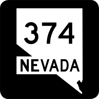
State Route 374 is a state highway in Nye County, Nevada, United States. It serves as Nevada's gateway to Death Valley National Park, connecting the park to Beatty. The highway was known as State Route 58 prior to 1976.

State Route 400 is a state highway in central Pershing County, Nevada. It connects the rural town of Unionville to Mill City. The route originally extended further south under its prior designation as State Route 50.
State Route 487 is a north–south state highway in White Pine County, Nevada. The route follows Baker Road from the Utah–Nevada state line southeast of Baker to U.S. Route 6 and U.S. Route 50. The route was previously known as State Route 73 prior to 1976. SR 487 is designated as a Nevada Scenic Byway.

State Route 488 is an east–west state highway in White Pine County, Nevada. The route covers Lehman Caves Road connecting the town of Baker to Great Basin National Park. The route existed as State Route 74 prior to 1976. SR 488 has been designated a Nevada Scenic Byway.
State Route 854 is a state highway in Pershing County, Nevada serving the vicinity of Lovelock. The route comprised a portion of former State Route 48.
The Valley of Fire Road is a road in northeastern Clark County, Nevada serving the Valley of Fire State Park. The roadway was previously designated State Route 40, and the segment within the state park is currently designated a Nevada Scenic Byway.

State Route 513 was a short state highway in Carson City, Nevada. The route was originally part of State Route 65, a longer highway that served the eastern outskirts of the city. SR 513 was turned over to Carson City in phases, and completely removed from the state highway system in 2011.

In the U.S. state of Nevada, U.S. Route 93 is a major United States Numbered Highway traversing the eastern edge of the state. The highway connects the Las Vegas area to the Great Basin National Park, and provides further connections to Ely and Wells. US 93 also provides the majority of the most direct connection from the major metropolitan areas of Las Vegas and Phoenix to the Boise, Idaho metropolitan area.
