State Route 599 is a 7.049-mile (11.344 km) state highway in Clark County, Nevada. The route follows Rancho Drive, a major arterial connecting downtown Las Vegas to the northwest part of the city. Much of SR 599 was previously designated as U.S. Route 95 prior to completion of the Las Vegas Expressway. The route is also designated as U.S. Route 95 Business.

State Route 28 (SR 28) is a 16.3-mile (26.2 km) state highway in Douglas County, Carson City, and Washoe County in western Nevada, United States, that runs along the northeastern shore of Lake Tahoe. SR 28 connects U.S. Route 50 (US 50) in Douglas County with California State Route 28 at Crystal Bay. SR 28 has been part of the Nevada scenic byway system since June 1994 and the National Scenic Byway system since September 1996.
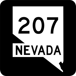
State Route 207 (SR 207) is an 11.082-mile (17.835 km) state highway in western Douglas County, Nevada, United States. Commonly known as the Kingsbury Grade, it is one of three Nevada highways that connect the western edge of the state to the Lake Tahoe region through the Carson Range. The route was part of State Route 19 prior to 1976.

State Route 170 is a state highway in northeastern Clark County, Nevada. Also known as Riverside Road, the route serves the Riverside townsite, the town of Bunkerville and the city of Mesquite. The highway was previously a part of former U.S. Route 91.

State Route 88 is a 7.868-mile (12.662 km) north–south state highway in the Carson Valley in western Douglas County, Nevada, United States. It runs from the California state line along Woodfords Road to U.S. Route 395 in Minden. Prior to 1957, the highway existed as State Route 37.

State Route 116 is a state highway in Churchill County, Nevada, United States. Known as Stillwater Road, it connects the small town of Stillwater to U.S. Route 50 east of Fallon. The road was established by 1940 as SR 42, and was renumbered to SR 116 in 1976.

State Route 206 is a state highway in Douglas County, Nevada, United States. It runs northwest from State Route 88 near the California state line along Foothill Road to Genoa, and then turns east on Genoa Lane to end at U.S. Route 395.

State Route 756 is a state highway in Douglas County, Nevada. It connects Centerville to the town of Gardnerville. The route previously existed as State Route 56.

Russell Road is a section line road within the Las Vegas Valley of Clark County, Nevada. It is no longer a continuous road through the valley, as Harry Reid International Airport interrupts its right of way. The eastern section terminates at the eastern edge of the airport, with the road resuming at Las Vegas Boulevard on the western edge of the airport. The intersection of Russell Road and Las Vegas Boulevard is often considered to mark the southern terminus of the Las Vegas Strip.
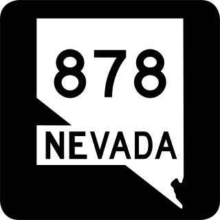
State Route 878 is a short state highway in Washoe County, Nevada. The highway is known as Slide Mountain Road.

State Route 773 is a 10.496-mile-long (16.892 km) state highway in Esmeralda County, Nevada, United States. Known as Fish Lake Valley Road, the highway was a part of former SR 3A.

State Route 757 is a state highway in Douglas County, Nevada. Formerly a part of State Route 19, the route connects the Genoa area to the Johnson Lane area.

State Route 513 was a short state highway in Carson City, Nevada. The route was originally part of State Route 65, a longer highway that served the eastern outskirts of the city. SR 513 was turned over to Carson City in phases, and completely removed from the state highway system in 2011.

State Route 525 was a short state highway in Carson City, Nevada. It covered a portion of College Parkway and all of Airport Road in the northern part of the city. Originally designated in 1976, it was turned over to local control in 2011.

State Route 531 was a state highway in Carson City, Nevada. It followed a portion of College Parkway in the northern part of the city. Created by 1995, the highway was turned over to city control in 2011.

State Route 431, commonly known as the Mount Rose Highway, is a 24.413-mile-long (39.289 km) highway in Washoe County, Nevada, that connects Incline Village at Lake Tahoe with Reno. The highway, a Nevada Scenic Byway, takes its name from Mount Rose, which lies just off the highway. Prior to 1976, the highway existed as State Route 27.

U.S. Route 395 (US 395) is an 85-mile-long (137 km) United States Numbered Highway near Lake Tahoe in the state of Nevada. It traverses the state after entering from California in Topaz Lake and crosses back into California near Hallelujah Junction. US 395 serves the cities of Gardnerville, Minden, Carson City and Reno. All of US 395 north of Carson City is a freeway and is built up to Interstate Highway standards. Part of the freeway section is also designated as Interstate 580 (I-580). US 395 is an important regional highway, serving the communities of Western Nevada, connecting them to other major communities via California, and it is the only major north–south arterial for the geographically isolated region.
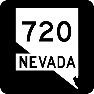
State Route 720 is a 3.248-mile-long (5.227 km) state highway in Churchill County, Nevada, south of Fallon. It serves Naval Air Station Fallon.


