Kokrajhar is a town in the Bodoland Territorial Region, an autonomous territory in Assam, one of the North Eastern states of India.

Rangiya also known as Rangia, is a major city of Lower Assam division and a municipal board located in the Kamrup district of Assam, India. Rangiya is also the headquarters of Kamrup district, and Rangiya serves as the Sub-divisional headquarter of Rangiya Sub-division. One of Rangiya's significant features is its role as the divisional headquarter of the Northeast Frontier Railway, which is one of the major railway zones in India. Baralia river flows through the heart of the city. The Redhorn Division of the Indian Army is located just three kilometers from the city.
Amlai is a census town in Shahdol district in the state of Madhya Pradesh, India.
Bina Railway Colony is a census town in Sagar District of state of Madhya Pradesh in India.
Chandkheda is a well-developed area in northwestern Ahmedabad. It is situated on west of Sabarmati River.
Eklahare is a census town in Nashik district in the state of Maharashtra, India.
Freelandgunj is a census town in Dahod district in the state of Gujarat, India.
Golokganj is a census town in Dhubri district in the Indian state of Assam. Golakganj is one of the historical places of Dhubri district.
Kanaipur is a census town in Sreerampur Uttarpara CD Block in Srirampore subdivision of Hooghly district in the Indian state of West Bengal. It is a part of Kolkata Urban Agglomeration.
Lumding Railway Colony is a census town in Hojai district in the Indian state of Assam.
Mhowgaon is a Nagar Panchayat under Sub Division Dr. Ambedkar Nagar (Mhow) in Indore district in the Indian state of Madhya Pradesh. The total geographical area of Mhowgaon nagar panchayat is 13.5 km2 and it is the smallest city by area in the sub district. The population density of the city is 2309 persons per km2. Mhowgaon is divided into 15 wards for which elections are held every 5 years. Among them, Mhowgaon Ward No. 2 is the most populous ward with a population of 3440 and Mhowgaon Ward No. 15 is the least populous ward with a population of 957. Mhowgaon Nagar Panchayat has total administration over 6,373 houses to which it supplies basic amenities like water and sewerage. It is also authorized to build roads within Nagar Panchayat limits and impose taxes on properties coming under its jurisdiction.
Nabagram is a census town in Sreerampur Uttarpara CD Block in Srirampore subdivision of Hooghly district in the Indian state of West Bengal. It is a part of Kolkata Urban Agglomeration.
Narasimhanaickenpalayam is a part of Coimbatore city. It is about 14 km from Coimbatore city junction in the northern direction. Narasimhanaickenpalayam is on the stretch of National Highway NH 67 Extn (NH-181) Mettupalayam Road, one of the arterial roads of Coimbatore city. Neighbouring places are Thudiyalur, NGGO Colony, and Periyanaickenpalayam
Northern Railway Colony is a census town in Kanpur Nagar district in the Indian state of Uttar Pradesh.
Raghunathpur is a census town in Sreerampur Uttarpara CD Block in Srirampore subdivision of Hooghly district in the Indian state of West Bengal. It is close to Dankuni and also a part of Kolkata Urban Agglomeration.
Ratlam Railway Colony, also known as Ratlam Kasba, is a census town in Ratlam District in the Indian state of Madhya Pradesh.It stretches from Dat ki Pul to the Railway hospital. The colony ends at Gandhinagar and the railway station on the opposite side. It is home to two railway schools, a full-sized basketball court, a full-size track and field ground and a volleyball court. The colony boasts two clubs with badminton courts and pool table.
Salakati, is a census town in Kokrajhar district in the Indian state of Assam. Salakati is 14km away in the north east direction from Kokrajhar.The town has a railway junction.
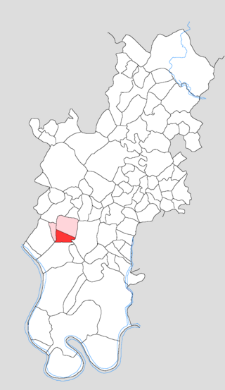
Tundla Railway Colony is a census town in Firozabad district, in the Indian state of Uttar Pradesh.
Jafarabad is a town and nagar panchayat in Jaunpur district in the Indian state of Uttar Pradesh.
Dumuria is a village and a Gaon Panchayat in Barpeta district in the Indian state of Assam.



 India
India 