Niamati

Last updated
Niamati
নিয়ামতি
Village
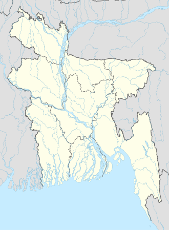
Bangladesh adm location map.svg
Red pog.svg
Niamati
Location in Bangladesh
Coordinates: 22°29′N90°13′E / 22.483°N 90.217°E / 22.483; 90.217
CountryFlag of Bangladesh.svg Bangladesh
Division Barisal Division
District Barisal District
Upazila Bakerganj Upazila
Population
 (2022)
  Total
8,555
Time zone UTC+6 (Bangladesh Time)

Niamati is a village in Bakerganj Upazila of Barisal District in the Barisal Division of southern-central Bangladesh. [1] [2]

According to the 2022 Census of Bangladesh, Niamati had 2,304 households and a population of 8,555. [3]
References

  1. Parisaṃkhyāna Byuro (2005). Bangladesh Population Census, 2001: Barisal. Bangladesh Bureau of Statistics, Planning Division, Ministry of Planning, Govt. of the People's Republic of Bangladesh. Retrieved 18 January 2011.
  2. Geographic Names, National Geospatial-Intelligence Agency, accessed 18 January 2011
  3. "COMMUNITY REPORT: BARISHAL" (PDF). Bangladesh Bureau of Statistics (BBS). Retrieved 28 September 2025.