
North Carolina Highway 4 (NC 4) is a primary state highway in the U.S. state of North Carolina. Running near the Virginia state line in Nash and Halifax Counties, NC 4 connects the region with I-95.
North Carolina Highway 226 (NC 226) is a primary state highway in the U.S. state of North Carolina. Traveling north–south through Western North Carolina, it connects the cities and towns of Grover, Shelby, Marion, Spruce Pine and Bakersville. It also a scenic byway in the South Mountains area and connects with the summer colony of Little Switzerland, via NC 226A.

North Carolina Highway 9 (NC 9) is a 46.4-mile (74.7 km) primary state highway in the U.S. state of North Carolina. It serves as a connector route from South Carolina Highway 9 to eastern portions of the Appalachians around Asheville.
North Carolina Highway 50 (NC 50) is a primary state highway in the U.S. state of North Carolina. It traverses north–south, from Topsail Beach to Creedmoor, connecting the cities of Warsaw, Newton Grove, Benson, and Raleigh.

North Carolina Highway 11 (NC 11) is a primary state highway in the U.S. state of North Carolina. Traveling 193.2 miles (310.9 km) in a north–south alignment through Eastern North Carolina, it connects the towns and cities of Wallace, Kenansville, Kinston, Greenville and Murfreesboro.

North Carolina Highway 96 (NC 96) is a 112-mile-long (180 km) primary state highway in the U.S. state of North Carolina. It is a predominantly rural highway that travels north-south, from NC 55, west of Newton Grove, to the Virginia state line near Virgilina, Virginia, where it continues on as Virginia State Route 96. It also connects the cities of Smithfield, Selma, Zebulon, Youngsville and Oxford.
North Carolina Highway 27 (NC 27) is a primary state highway in the U.S. state of North Carolina. The route traverses 198 miles (319 km) through southern and central North Carolina, about 100 miles (160 km) of it as a concurrency with NC 24.
North Carolina Highway 28 (NC 28) is an 81.2-mile-long (130.7 km) primary state highway in the U.S. state of North Carolina. The highway runs north–south through the Nantahala National Forest in Western North Carolina.

North Carolina Highway 186 (NC 186) is a primary state highway in the U.S. state of North Carolina. Entirely in Northampton County, it helps facilitate truck traffic parallel to I-95 and connects the communities of Seaboard and Margarettsville.

North Carolina Highway 39 (NC 39) is a primary state highway in the U.S. state of North Carolina. Traveling north–south, it connects the cities of Selma, Louisburg and Henderson, in the Research Triangle area.
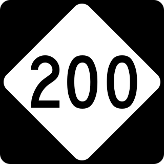
North Carolina Highway 200 (NC 200) is a primary state highway in the U.S. state of North Carolina. The highway runs north–south from the South Carolina state line near the community of JAARS, to US 601 near Concord.
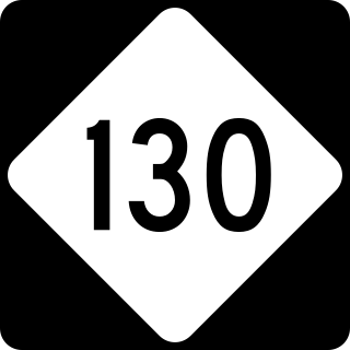
North Carolina Highway 130 (NC 130) is a primary state highway in the U.S. state of North Carolina. The highway serves the towns and rural communities in southern Robeson County, acts as a direct route between Whiteville and Shallotte through the Green Swamp, and provides access to Holden Beach.

North Carolina Highway 268 (NC 268) is a primary state highway in the U.S. state of North Carolina. It connects many communities as it traverses through the northwestern North Carolina mountains and foothills.
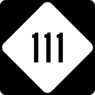
North Carolina Highway 111 (NC 111) is a 126.0-mile-long (202.8 km) primary state highway in the U.S. state of North Carolina. Traveling north–south through Eastern North Carolina, it connects the various rural towns and communities with the cities of Jacksonville, Goldsboro and Tarboro.

North Carolina Highway 222 (NC 222) is a primary state highway in the U.S. state of North Carolina. The highway traverses between Emit and Belvoir, connecting the rural towns of Kenly, Fremont, Eureka, Stantonsburg, Saratoga, Fountain, and Falkland.

North Carolina Highway 48 (NC 48) is a primary state highway in the U.S. state of North Carolina that principally connects the cities of Rocky Mount and Roanoke Rapids. The route offers an alternative to US 301 and I-95.

North Carolina Highway 581 (NC 581) is a primary state highway in the U.S. state of North Carolina. The highway travels from Goldsboro to Louisburg, connecting various rural communities in between.

North Carolina Highway 93 (NC 93) is a primary state highway in the U.S. state of North Carolina. It runs from the Virginia state line to the community of Twin Oaks, entirely in Alleghany County.
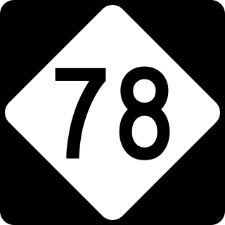
North Carolina Highway 78 (NC 78) is a primary state highway in the U.S. state of North Carolina. The highway connects the Tramway community with Sanford's Jonesboro Heights neighborhood.

North Carolina Highway 481 (NC 481) is a 21-mile (34 km) primary state highway in the U.S. state of North Carolina, connecting Enfield to nearby Interstate 95 (I-95) and the surrounding farmlands of southern Halifax County.


