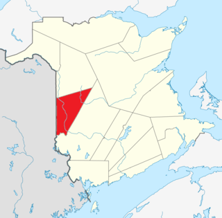
Carleton County is located in west-central New Brunswick, Canada.

York County is located in west-central New Brunswick, Canada. The county contains the provincial capital, Fredericton. Outside the city, farming and forestry are two major industries in the county, which is bisected by the Saint John River. The Southwest Miramichi River flows through the northern section of the county.

Hartland is a town in Carleton County, New Brunswick, Canada.

Woodstock is a town in Carleton County, New Brunswick, Canada on the Saint John River, 103 km upriver from Fredericton at the mouth of the Meduxnekeag River. It is near the Canada–United States border and Houlton, Maine and the intersection of Interstate 95 and the Trans-Canada Highway making it a transportation hub. It is also a service centre for the potato industry and for more than 26,000 people in the nearby communities of Hartland, Florenceville-Bristol, Centreville, Bath, Meductic, and Canterbury for shopping, employment and entertainment.
Peel is a Canadian rural community in Carleton County, New Brunswick. It is located on the east side of the Saint John River, 5.71 km NNW of Hartland, on the road to Stickney. It is part of Peel Parish.
Waterville is a Canadian rural community in Carleton County, New Brunswick on Route 590.

Ashland is a Canadian community in Carleton County, New Brunswick.
Grafton is a community just outside Woodstock in the Canadian province of New Brunswick. It is situated in Northampton, a parish of Carleton County.
Johnville is a community in the Canadian province of New Brunswick. It is situated in Kent, a parish of Carleton County.
Lakeville is a community in the Canadian province of New Brunswick. This small village is located between Centreville and Woodstock. It is located on Route 560 in Carleton County. It has two churches, a convenience store, a post office, a fire hall, a park, and a community center. In the center of this village is the Williamstown Lake.

The Bulloch County Courthouse is a historic courthouse that is located in downtown Statesboro, Georgia. It was built in 1894 to house the county government. On September 18, 1980, the building was added to the National Register of Historic Places.
The North Branch Meduxnekeag River is a river in Aroostook County, Maine and Carleton County, New Brunswick. From the outlet of a small pond in Maine Township 8, Range 3, WELS, the river runs about 20 miles (30 km) northeast, south, and east to the Canada–United States border, crossing into Canada at 46°16′40″N67°46′56″W. It runs about 4 miles (6 km) southeast to its confluence with the Meduxnekeag River in Wakefield, NB.
The River De Chute is a river in Maine and New Brunswick. From the outflow of Lindsay Lake in Easton, Maine, the river runs about 5 miles (8 km) south, about half a mile west of the Canada–United States border. The river turns east and crosses into Canada at 46°36′04″N67°47′18″W. It runs about 3 miles (5 km) to its confluence with the Saint John River. This section of the river forms the border between Carleton County, New Brunswick and Victoria County, New Brunswick.

Gordon is a parish in Victoria County, New Brunswick, Canada. Its population in the 2016 Census was 1,493.

Andover is a Canadian parish in Victoria County, New Brunswick.
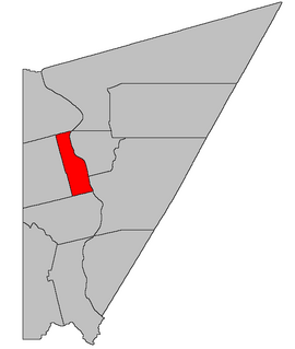
Simonds is a Canadian parish in Carleton County, New Brunswick. Its population in the 2016 Census was 473. It should not be confused with the larger and identically named Simonds Parish, St John County in Saint John County, also in New Brunswick.
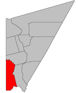
Richmond is a Canadian parish in Carleton County, New Brunswick.
Hartland Community School is a K-12 school located in Hartland, New Brunswick, Canada. Hartland Community School has around 575 students. The students in Hartland Community School are from all of Carleton County.
Knowlesville is a small community in Carleton County in the Canadian province of New Brunswick. Knowlesville is in Aberdeen Parish, with a population in the 2011 Census of 981. It is located approximately 20 km east of Florenceville-Bristol, New Brunswick, along the Knowlesville Road.
Iron Ore Hill is a Canadian rural community in Carleton County, New Brunswick, 5 kilometers northwest of Woodstock.