
Interstate 5 (I-5) is the main north–south Interstate Highway on the West Coast of the United States, running largely parallel to the Pacific coast of the contiguous U.S. from Mexico to Canada. It travels through the states of California, Oregon, and Washington, serving several large cities on the West Coast, including San Diego, Los Angeles, Sacramento, Portland, and Seattle. It is the only continuous Interstate highway to touch both the Mexican and Canadian borders. Upon crossing the Mexican border at its southern terminus, the highway continues to Tijuana, Baja California, as Mexican Federal Highway 1 (Fed. 1). Upon crossing the Canadian border at its northern terminus, it continues to Vancouver as British Columbia Highway 99 (BC 99).

Dayton is a city in Yamhill County, Oregon, United States. The population was 2,678 at the 2020 census.

U.S. Route 99 (US 99) was a main north–south United States Numbered Highway on the West Coast of the United States until 1964, running from Calexico, California, on the Mexican border to Blaine, Washington, on the Canadian border. It was assigned in 1926 and existed until it was replaced for the most part by Interstate 5. Known also as the "Golden State Highway" and "The Main Street of California", US 99 was important throughout much of the 1930s as a route for Dust Bowl immigrant farm workers to traverse the state. Large portions are now California State Route 99 (SR 99), Oregon's Routes 99, 99W, and 99E, and Washington's SR 99. The highway in Washington connected to British Columbia Highway 99, whose number was derived from that of US 99, at the Canada–US border.

Oregon Route 211 is a state highway which runs through part of the northeastern portion of Oregon's Willamette Valley. Its northeastern terminus is its intersection with U.S. Route 26 in Sandy, a small town on the outskirts of the Portland metro area. It runs south and west, through farmland and forest, to its southwestern terminus with OR 99E in Woodburn. After its intersection with OR 99E, a short segment of Oregon Route 214 connects OR 211 with Interstate 5.

Oregon Route 99 is a state highway that runs between the southern border of Oregon, and the city of Junction City. Oregon Route 99 was formed from parts of the former U.S. Route 99; it shares much of its route with I-5, but much of it is also independent. Between Portland and Junction City, the highway is forked into two routes: Oregon Route 99E and Oregon Route 99W.

Oregon Route 212 is an Oregon state highway that serves the eastern Portland metro area. It is an east–west route, running between Boring and Clackamas.

Oregon Route 18 is a state highway that runs between the Oregon Coast, near Lincoln City, and Newberg. OR 18 traverses the Salmon River Highway No. 39 of the Oregon state highway system, named after the river alongside its westernmost segments.
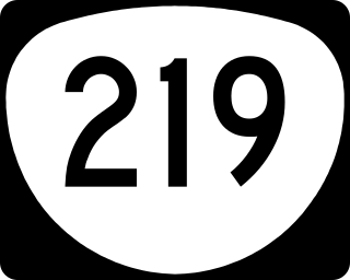
Oregon Route 219 is an Oregon state highway which runs between the cities of Hillsboro and Woodburn, Oregon, in the United States. The Hillsboro-Silverton Highway continues further south to Silverton, signed as OR 214. The highway mainly serves local residents and agricultural traffic, despite its proximity to the Portland area it lies outside the Portland Urban Growth Boundary, and maintains its character as a country road.
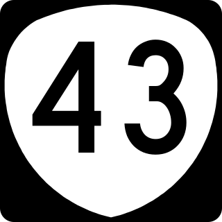
Oregon Route 43 is an Oregon state highway that runs between the cities of Oregon City and Portland, mostly along the western flank of the Willamette River. While it is technically known by the Oregon Department of Transportation as the Oswego Highway No. 3, on maps it is referred to by its route number or by the various street names it has been given.

Oregon Route 47 is an Oregon state highway that runs between the Willamette Valley, near McMinnville, and the city of Clatskanie, along the Columbia River in the northwest part of the state. OR 47 traverses several highways of the Oregon state highway system: part of the Tualatin Valley Highway No. 29, part of the Nehalem Highway No. 102, part of the Sunset Highway No. 47, and the Mist–Clatskanie Highway No. 110.

Oregon Route 22 is an Oregon state highway that runs between the Oregon Coast community of Hebo, to a junction with U.S. Route 20 near Santiam Pass in the Cascade Mountains. OR 22 traverses several highways of the Oregon state highway system, including the Three Rivers Highway No. 32, part of the Salmon River Highway No. 39, the Willamina–Salem Highway No. 30, part of the Salem Highway No. 72, and the North Santiam Highway No. 162.
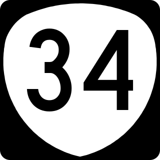
Oregon Route 34 is a state highway in the U.S. state of Oregon that runs between the city of Waldport on the Oregon Coast and the city of Lebanon in the western part of the state. OR 34 traverses the Alsea Highway No. 27 from Waldport to Flynn, part of the Corvallis–Newport Highway No. 33 from Flynn to east of Corvallis, and the Corvallis–Lebanon Highway No. 210 from east of Corvallis to Lebanon, of the Oregon state highway system. In Corvallis, OR 34 includes a brief concurrency with U.S. Route 20 and OR 99W over the Pacific Highway West No. 1W.

Oregon Route 99E is an Oregon state highway that runs between Junction City, Oregon and an interchange with I-5 just south of the Oregon/Washington border, in Portland. It, along with OR 99W, makes up a split of OR 99 in the northern part of the state. This split existed when the route was U.S. Route 99, when the two branches were U.S. 99W and U.S. 99E.

Oregon Route 51 is an Oregon state highway running between Monmouth, Oregon and an intersection with Oregon Route 22 west of Salem. OR 51 traverses several highways of the Oregon state highway system: the Monmouth–Independence Highway No. 43 and the Independence Highway No. 193. The route lies completely within Polk County. The Independence Highway previously continued south to US 20.

Oregon Route 99W is a state-numbered route in Oregon, United States, that runs from OR 99 and OR 99E in Junction City north to I-5 in southwestern Portland. Some signage continues it north to US 26 near downtown, but most signage agrees with the Oregon Department of Transportation's (ODOT) description, ending it at I-5. OR 99W is known by ODOT as the Pacific Highway West No. 1W ; that highway continues north through downtown to the Pacific Highway No. 1 (I-5) in northern Portland, as well as south on OR 99 to the Pacific Highway (I-5) in Eugene.

Oregon Route 223 is a state highway in the U.S. State of Oregon, which runs between the town of Wren, Oregon and the city of Dallas, Oregon. It is known as the Kings Valley Highway No. 191 and is 31 miles (50 km) long. It lies in Benton and Polk counties.

Oregon Route 221 is an Oregon state highway which runs between the city of Salem, Oregon and the city of Dayton, Oregon, roughly along the western shore of the Willamette River. It is known as the Salem-Dayton Highway No. 150, and is 21 miles (34 km) long. It lies in Yamhill and Polk Counties.

Oregon Route 153 is an Oregon state highway running from OR 18 in Bellevue to OR 221 near Hopewell. OR 153 is known as the Bellevue-Hopewell Highway No. 153. It is 14.34 miles (23.08 km) long and runs east–west, entirely within Yamhill County.

Oregon Route 216 is an Oregon state highway running from U.S. Route 26 at Warm Springs Junction to U.S. Route 97 in Grass Valley. OR 216 is 61.30 miles (98.65 km) long and runs east–west.
Interstate 5 (I-5) in the U.S. state of Oregon is a major Interstate Highway that traverses the state from north to south. It travels to the west of the Cascade Mountains, connecting Portland to Salem, Eugene, Medford, and other major cities in the Willamette Valley and across the northern Siskiyou Mountains. The highway runs 308 miles (496 km) from the California state line near Ashland to the Washington state line in northern Portland, forming the central part of Interstate 5's route between Mexico and Canada.

