 Aerial view of the island to the right | |
 Osum Island | |
| Geography | |
|---|---|
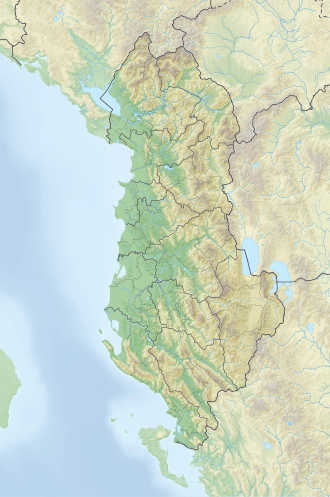
| Location | Osum river |
| Coordinates | 40°41′57″N19°57′02″E / 40.69917°N 19.95056°E |
| Area | 0.03 km2 (0.012 sq mi) |
| Area rank | 8th |
| Highest elevation | 60 m (200 ft) |
| Administration | |
Albania | |
| County | Berat County |
| Municipality | Berat |
Osum Island (Albanian : Ishulli i Osumit) is an island in south-central of Albania, in the Osum river, in the city of Berat.