
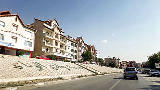
Oum El Bouaghi or Oum el-Bouaghi is a province (wilaya) of Algeria in the Aures region. The capital is Oum el-Bouaghi, which was named Can Robert, Sidi R'Ghis a few years later, and Oum El Bouaghi before independence.

El Taref is a province (wilaya) of Algeria. El Kala is a port town in this province. El Taref is the capital city. El Kala, a port town in this province, is home to El Kala National Park and, Lake Mellah.

Bab El Oued is a district in Algiers Province, Algeria. It was named after its capital, Bab El Oued.

Oued El Alleug is a district in Blida Province, Algeria. It was named after its capital, Oued El Alleug.

Bordj Ménaïel is a district in Boumerdès Province, Algeria. It was named after its capital, Bordj Menaïel. Being in the far northern part of the country, it and its province have a slightly arid climate.
Oued Smar is a suburb of the city of Algiers in northern Algeria.

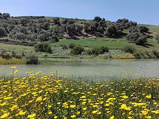
Oued El Aneb is a town in north-eastern Algeria. The town of Oued El Aneb is a commune of Algeria, located in the wilaya of d'Annaba at 36° 53′ 00″n, 7° 29′ 00″ e on the Mediterranean Sea between the towns of Chetaïbi, and Annaba. The population of the town is 21088. Lake Fetzara is to the south.

Oued Chaaba is a town in north-eastern Algeria.

Oued Ghir is a commune in northern Algeria in the Béjaïa Province.

Ouled El Alleug is a town and commune in Blida Province, Algeria. It is at 36.55528°N 2.79028°E. According to the 1998 census it has a population of 33,915. The population density is 383 persons per kilometer.

Oued Fodda District is a district of Chlef Province, Algeria.
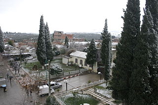
Oued Zenati is a town and commune in Guelma Province, Algeria. According to the 1998 census it had a population of 27,254 which progressed to reach 55,000 in 2010.
Oued Endjaوادي النجاء is a commune in Mila Province, Algeria. Redjas town is the capital. At the 2008 census it had a population of 19739.

Oued Harbil is a town and commune in Médéa Province, Algeria. According to the 1998 census, it has a population of 4,768.

Ramdane Djamel is a town and commune in Skikda Province in north-eastern Algeria.

Oued El Barad is a town and commune in Sétif Province in north-eastern Algeria.

The Battle of Bab el Oued was a violent confrontation which occurred during the latter stages of the Algerian War (1954–1962) between the French Army and the Organisation armée secrète (OAS) which opposed Algerian independence. It took place in Bab El Oued, then a working-class European quarter of Algiers, from 23 March to 6 April 1962.
Henchir-Boucha is a former Catholic diocese and archaeological site in Tunisia.

Yahia Boushaki is an Algiers residential, administrative and commercial neighbourhood located in the commune of Bab Ezzouar in Algeria.
The Oued Zitoun is a river of Tunisia, North Africa.

