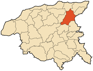
Ouled Ben Abdelkader District | |
|---|---|
 | |
| Country | |
| Province | Chlef Province |
| Population (2008 [1] ) | |
| • Total | 36,908 |
| Time zone | UTC+1 (CET) |
Ouled Ben Abdelkader District is a district of Chlef Province, Algeria.
Ouled Ben Abdelkader District | |
|---|---|
 | |
| Country | |
| Province | Chlef Province |
| Population (2008 [1] ) | |
| • Total | 36,908 |
| Time zone | UTC+1 (CET) |
Ouled Ben Abdelkader District is a district of Chlef Province, Algeria.
The district is further divided into 2 communes: [2]
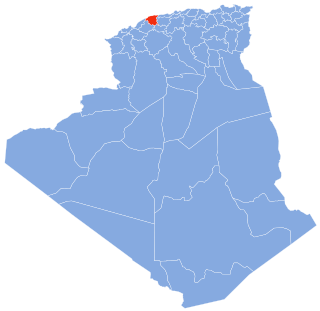
Chlef is a province (wilaya) in Algeria, and has about 1 million inhabitants. Its capital is Chlef. Another locality is Ténès, on the Mediterranean Sea.

Abou El Hassan District is a district of Chlef Province, lying situated on the Mediterranean Sea, northern Algeria. The district contains the capital, Abou El Hassan, holding a total population of approximately 20,164 residents according to the 1998 census.

Zeboudja District is a district of Chlef Province, Algeria.

Ténès District is a district of Chlef Province, Algeria.
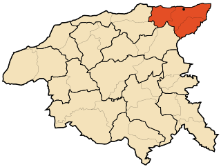
Béni Haoua District is a district of Chlef Province, Algeria.

Boukadir District is a district of Chlef Province, Algeria.

Chlef District is a district of Chlef Province, Algeria.
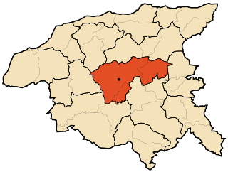
Ouled Farès District is a district of Chlef Province, Algeria.

Taougrit District is a district of Chlef Province, Algeria.

El Karimia District is a district of Chlef Province, Algeria.

Oued Fodda District is a district of Chlef Province, Algeria.
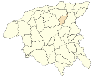
Benairia is a town and commune in Chlef Province, Algeria. According to the 1998 census it has a population of 13,509.

Bouzghaia is a town and commune in Chlef Province, Algeria. According to the 1998 census it has a population of 20,268.

Chettia is a town and commune in Chlef Province, Algeria. According to the 1998 census it has a population of 59,960.
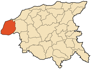
Dahra, Algeria is a town and commune in Chlef Province, Algeria. According to the 1998 census it has a population of 21,284.

Labiod Medjadja is a town and commune in Chlef Province, Algeria. According to the 1998 census it has a population of 13,920.
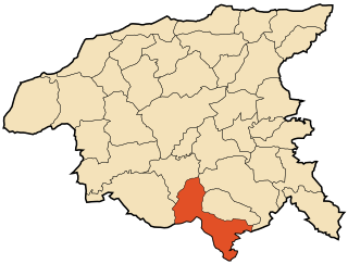
Ouled Ben Abdelkader is a town and commune in Chlef Province, Algeria. According to the 1998 census it has a population of 17,385.
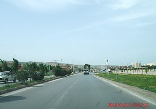
Ouled Fares is a town and commune in Chlef Province, Algeria. According to the 1998 census it has a population of 30,068.
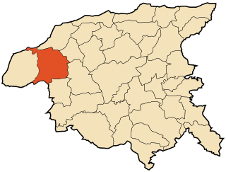
Taougrit is a town and commune in Chlef Province, Algeria. According to the 1998 census it has a population of 24,267.
Zeboudja is a town and commune in Chlef Province, Algeria. According to the 1998 census it has a population of 23,079.
| This article about a location in Chlef Province is a stub. You can help Wikipedia by expanding it. |