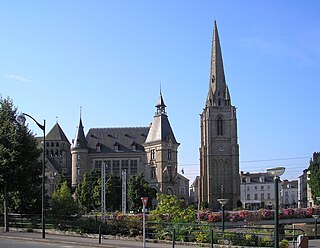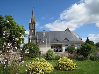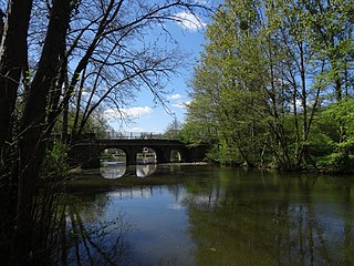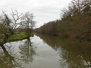
Ille-et-Vilaine is a department of France, located in the region of Brittany in the northwest of the country. It is named after its two main rivers, the Ille and the Vilaine. It had a population of 1,079,498 in 2019.

Redon is a commune in the Ille-et-Vilaine department in Brittany in northwestern France. It is a sub-prefecture of the department.

The Vilaine is a river in Brittany, in the west of France. The river's source is in the Mayenne département (53), and it flows out into the Atlantic Ocean at Pénestin in the Morbihan département (56). It is 218 km long.

The Ille is a small river in Brittany, France, right tributary of the river Vilaine. It is 48.9 km (30.4 mi) long. It flows into the Vilaine in the city Rennes.

The Rance is a river of northwestern France. It is 103.6 km (64.4 mi) long. The semi-tidal river flows into the English Channel between Dinard and Saint-Malo.

The Blavet river flows from central Brittany and enters the Atlantic Ocean on the south coast near Lorient. It is 148.9 km (92.5 mi) long. The river is canalised for most of its length, forming one of the links in the Brittany canal system. It connects with the Canal de Nantes à Brest at Pontivy and runs to Hennebont, a distance of 60 km. From the last lock at Polvern, the river is tidal and considered as a maritime waterway, giving access to the seaport of Lorient and the Atlantic Ocean. It became more important when the western half of that system was cut off by the construction of the Guerlédan dam and hydropower plant. Today, boats coming from Nantes via Redon have to take the Canal du Blavet in order to reach the ocean near Lorient.

The arrondissement of Redon is an arrondissement of France in the Ille-et-Vilaine department in the Brittany region. It has 50 communes. Its population is 102,157 (2016), and its area is 1,302.6 km2 (502.9 sq mi).

The Nantes–Brest canal is a French canal which links the two seaports of Nantes and Brest through inland Brittany. It was built in the early 19th century, and its total length as built was 385 km with 238 locks.

Langon is a commune in the Ille-et-Vilaine department in Brittany in northwestern France.

Rieux is a commune in the Morbihan department, Brittany, northwestern France.

Sainte-Marie is a commune in the Ille-et-Vilaine department in Brittany in northwestern France.

The Meu is an 84.1 km (52.3 mi) long river in the Côtes-d'Armor and Ille-et-Vilaine départements, in northwestern France. Its source is at Saint-Vran, 2.4 km (1.5 mi) west of the village. It flows generally southeast. It is a right tributary of the Vilaine into which it flows at Goven, 5.7 km (3.5 mi) northeast of the village.
The Arz is a 66.4 km (41.3 mi) long river in the Morbihan département, northwestern France. Its source is at Plaudren. It flows generally east-southeast. It is a right tributary of the Oust into which it flows at Saint-Jean-la-Poterie, near Redon.

The Semnon is a 73.3 km (45.5 mi) long river in the Mayenne, Maine-et-Loire, Ille-et-Vilaine and Loire-Atlantique départements, northwestern France. Its source is in Congrier. It flows generally west-northwest. It is a left tributary of the Vilaine into which it flows between Pléchâtel and Bourg-des-Comptes.

The Don is a river in Brittany, northwestern France. The 92.1 km (57.2 mi) long Don is a tributary of the river Vilaine.

The Chère is a 65.1 km (40.5 mi) long river in the Loire-Atlantique and Ille-et-Vilaine départements, northwestern France. Its source is at Soudan. It flows generally west. It is a left tributary of the Vilaine into which it flows between Pierric and Sainte-Anne-sur-Vilaine.

Redon Abbey, or Abbey of Saint-Sauveur, Redon, in Redon in the present Ille-et-Vilaine, Brittany, France, is a former Benedictine abbey founded in 832 by Saint Conwoïon, at the point where the Oust flows into the Vilaine, on the border between Neustria and Brittany.

The canton of Redon is an administrative division of the Ille-et-Vilaine department, in northwestern France. At the French canton reorganisation which came into effect in March 2015, it was expanded from 6 to 15 communes. Its seat is in Redon.

Redon Agglomération is a French intercommunal structure centred on the city of Redon. It is located in the departments Morbihan, Ille-et-Vilaine and Loire-Atlantique, in the regions Brittany and Pays de la Loire, northwestern France. It was created in April 1996. Its area is 990.9 km2. Its population was 66,478 in 2018, of which 9,151 in Redon proper.


