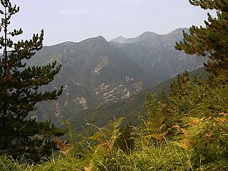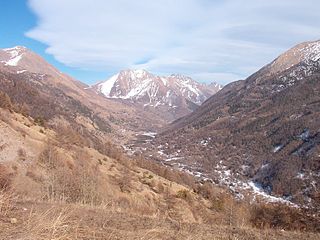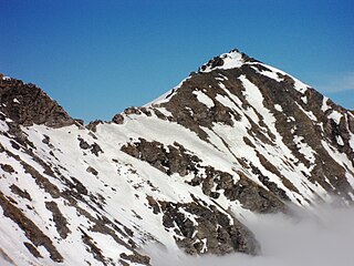
The Pennine Alps, also known as the Valais Alps, are a mountain range in the western part of the Alps. They are located in Switzerland (Valais) and Italy.

The Ligurian Alps are a mountain range in northwestern Italy. A small part is located in France. They form the south-western extremity of the Alps, separated from the Apennines by the Colle di Cadibona. The Col de Tende and the Vermenagna valley separate them from the Maritime Alps. They form the border between Piedmont in the north and Liguria in the south.

Sestriere is an ski resort in Italy, a comune (municipality) of the Metropolitan City of Turin. It is situated in Val Susa, 17 km (11 mi) from the French border. Its name derives from Latin: ad petram sistrariam, that is at sixty Roman miles from Turin.

Pragelato is a comune (municipality) in the Metropolitan City of Turin in the Italian region Piedmont, located about 60 kilometres (37 mi) west of Turin, in the upper Val Chisone. The name Pragelato, meaning "icy meadow", has been derived from the harsh climate and the fact that the ground is covered with ice for long periods. On both sides of the Chisone, extensive forests of pine and larch provide protection from the avalanches which are a common occurrence in the winter season: for this reason in the nineteenth century the people of Pragelato were only permitted to fell trees close to the mountain summits, and even then only with the permission of the communal administration.

Montgenèvre is a commune of the Hautes-Alpes department in southeastern France.

The Chisone is a 53-kilometre (33 mi) Italian torrent, which runs through Pragelato, Fenestrelle, Perosa Argentina and Pinerolo in the Metropolitan City of Turin. It is a tributary of the Pellice, which in turn is a tributary of the river Po. Although classified as a torrent, there is no period of the year at which the Chisone runs dry.

The Val Chisone is one of the Occitan valleys of western Piedmont, situated in the Cottian Alps in the Metropolitan City of Turin in north-west Italy.

Monte Saccarello (Italian) or Mont Saccarel (French) is a mountain located on the French-Italian border between Liguria, Piedmont and Provence-Alpes-Côte d'Azur.

Monte Orsiera is a mountain in the Cottian Alps belonging to the Province of Turin (Italy).

Val Vogna is a lateral valley of Valsesia, inside the municipality of Riva Valdobbia, Italy.

The Alpe Veglia and Alpe Devero Natural Park was established in 1995 and is in the Ossola valley, in the Province of Verbania, Italy.

The Antola Natural Regional Park is a natural park in Metropolitan City of Genoa. It gets the name from the highest mountain of the area, Monte Antola.

Bric Ghinivert or Eiminàl is a mountain of the Cottian Alps located in Italy.

Monte Albergian is a 3,041 m a.s.l. mountain of the Cottian Alps, located in Italy. A battalion of 3rd Alpini Regiment, which during World War I earned a Silver Medal of Military Valor, was named after Monte Albergian.

Monte Monega is a 1,882-metre (6,175 ft) mountain of the Ligurian Alps, in Italy.

Carmo di Brocchi is a 1,610-metre (5,282 ft) mountain of the Ligurian Alps, in Italy.

The Cima della Fascia is a mountain of the Ligurian Alps located in Piedmont.

The Cima Ciantiplagna is a mountain in the Cottian Alps belonging to the Province of Turin (Italy).

The Punta Mirauda is a mountain of the Ligurian Alps located in Piedmont.


