Dundas is a suburb of Sydney, New South Wales, Australia. Dundas is located 21 kilometres north-west of the Sydney central business district, in the local government area of the City of Parramatta, and the electoral division of Bennelong. Dundas is a leafy green suburb, notably due to its centrepiece The Ponds Walk, which follows the Ponds Subiaco Creek. Dundas is part of the Northern Sydney and Greater Western Sydney regions.
Canoelands is a suburb of northern Sydney, in the state of New South Wales, Australia. Canoelands is 60 kilometres north of the Sydney central business district, in the local government area of Hornsby Shire and The Hills Shire.

The Berowra Creek, a watercourse that is part of the Hawkesbury-Nepean catchment, is located to the north of the Sydney central business district in the Hornsby Shire of New South Wales, Australia.
The Parish of Sutherland is one of the 57 parishes in Cumberland County, New South Wales, a cadastral unit for use on land titles. It was originally proclaimed as the parish of Southerland with an 'o', but was misspelled without it on the government gazette. It includes all of the Kurnell peninsula, with Botany Bay and the Georges River to the north; part of the Woronora River to the west; and Port Hacking to the south. Suburbs within the parish include Cronulla, Miranda, Woolooware, Caringbah, Gymea, Sutherland, Sylvania Waters and Oyster Bay.
Willoughby Parish, Cumberland is one of the 57 parishes of Cumberland County, New South Wales, Australia, a cadastral unit for use on land titles. The suburb of Willoughby and the City of Willoughby LGA are in a similar area. Willoughby Parish roughly covers the peninsula formed by the Lane Cove River, Sydney Harbour and Middle Harbour on three sides, with the northern boundary of the Parish roughly across the narrowest point of the peninsula. It roughly correlates with the region traditionally known as the "Lower North Shore", although that term is also sometimes used in a wider sense that includes land in neighbouring Hunters Hill Parish.

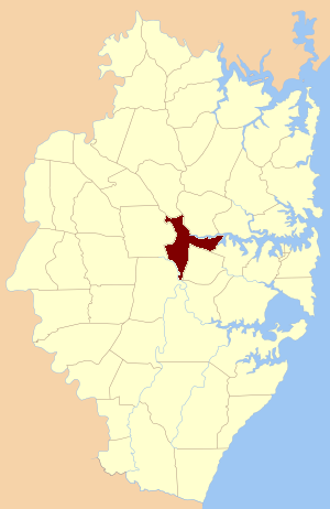
Field of Mars Parish is one of the 57 parishes of Cumberland County, New South Wales, a cadastral unit for use on land titles. While the name is mostly forgotten as a region name today, it has given the name to the modern suburb of Marsfield and the reserve in the area. It is centred on Carlingford and also includes Epping, Telopea and Ermington. Its southern boundary is the Parramatta River.

St James Parish, Cumberland is one of the 57 parishes of Cumberland County, New South Wales, a cadastral unit for use on land titles. It is one of the four small parishes in the Sydney city area, which is named after the Anglican church of St James, which was consecrated in 1824. The name St James is also used today for the railway station in the same area.

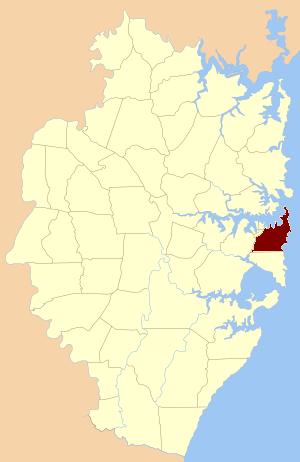
St George Parish is one of the 57 parishes of Cumberland County, New South Wales, a cadastral unit for use on land titles. It is bounded in the north by the Cooks River, in the west by Cox's Creek and Salt Pan Creek, and in the south by the Georges River and in the east by Botany Bay.

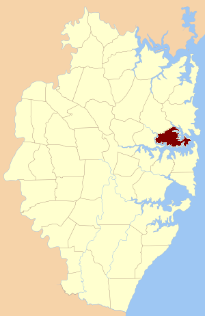
Hunters Hill Parish is one of the 57 parishes of Cumberland County, New South Wales, a cadastral unit for use on land titles. It includes the eponymous suburb of Hunters Hill and the Municipality of Hunter's Hill in the east, while the western part of the parish largely corresponds with the City of Ryde.
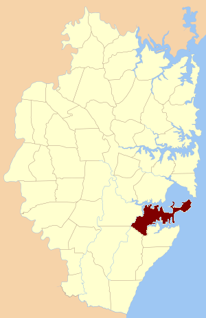
Alexandria Parish is one of the 57 parishes of Cumberland County, New South Wales, a cadastral unit for use on land titles. It contains the area to the south and east of Sydney city including Bondi, Paddington and Clovelly. It was probably named after the Battle of Alexandria fought in 1801. The Parish of Alexandria roughly corresponds with the "Eastern Suburbs" in the traditional narrow sense of that term. The "Eastern Suburbs" in a wide sense also includes the suburbs immediately to the south, in the Parish of Botany.

Petersham Parish is one of the 57 parishes of Cumberland County, New South Wales, a cadastral unit for use on land titles. It is located to the south of Iron Cove, Rozelle Bay and the Parramatta River, and to the north of Cooks River. It includes the suburbs of Balmain, Leichhardt, Petersham, Newtown, Marrickville, Tempe, Glebe and St Peters. It roughly corresponds to the eastern half of the Inner West region, with the neighbouring Parish of Concord making up the western half.

Concord Parish is one of the 57 parishes of Cumberland County, New South Wales, a cadastral unit for use on land titles. It is located to the south of the Parramatta River between Homebush Bay and Iron Cove; and to the north of Cooks River. It includes the suburbs of Homebush, most of Strathfield, Burwood, Croydon, Concord, Canada Bay, Abbotsford and Drummoyne. It covers the local government areas of City of Canada Bay and the Municipality of Burwood and most of the Municipality of Strathfield. It roughly corresponds to the western half of the Inner West region, with the neighbouring Parish of Petersham making up the eastern half.

Liberty Plains Parish is one of the 57 parishes of Cumberland County, New South Wales, a cadastral unit for use on land titles. It is bounded by Parramatta Road in the north; the boundary between Flemington and Homebush, a small part of Cooks River and Liverpool Road in the east; the Hume Highway also in the south; and Woodville Road in the west. It includes the suburbs of Homebush West (Flemington), part of Strathfield, Auburn, Regents Park, Potts Hill, Sefton, Chester Hill, Bass Hill and Lidcombe. It also includes the Rookwood Cemetery. Before the parish was proclaimed in 1835, the Liberty Plains district was in the same area. The name had been given when the first settlers had desired a settlement midway between Parramatta and Sydney city. The name is still used on a motor inn in the area. In the 1851 census there were 49 houses and 270 people in the Liberty Plains parish.
St John Parish is one of the 57 parishes of Cumberland County, New South Wales, a cadastral unit for use on land titles. It is named after St John's Cathedral in Parramatta, New South Wales which opened in 1803, on which the civil parish is roughly centred. The parish is shaped like a "T", with the northern part stretching from Toongabbie to the western shore of Homebush Bay. The southern end is at Prospect Creek near Yennora. Woodville Road and Parramatta Road form the boundaries to the south-east. The Old Prospect Road is part of the boundary in the west.
St Lawrence Parish is one of the 57 parishes of Cumberland County, New South Wales, Australia, a cadastral unit for use on land titles. It is one of the four small parishes in the Sydney city area. Unlike the other three parishes, St Lawrence was not named after a New Testament saint but after St Lawrence, the second Bishop of Canterbury, successor to St Augustine of Canterbury, presumably very familiar to Bishop Broughton from his time in Canterbury. The church in the parish was dedicated by the bishop as Christ Church. Later, as it became more "tractarian" and Anglo-Catholic, the name of the parish was added to that of the church. However, by then, St Lawrence was understood to refer to the only saint of that name in the Book of Common Prayer, St Lawrence, of Rome, and St Laurence of Rome has since been considered the patron saint of the church..
St Andrew Parish, Cumberland is one of the 57 parishes of Cumberland County, New South Wales, a cadastral unit for use on land titles. It is one of the four small parishes in the Sydney city area, and is named after the church of St Andrew's. The parish was named while the church was still in the planning stages. The parish includes Pyrmont and the Darling Harbour area. It is bounded by Wattle Street in the south west, George Street in the south and east, and King Street in the north-east. It includes Town Hall railway station, which is on the eastern end of the parish.
St Philip Parish is one of the 57 parishes of Cumberland County, New South Wales, a cadastral unit for use on land titles. It is located on the western part of the original colony at Sydney Cove, which was to the west of the Tank Stream. It is one of the four small parishes in the Sydney city area and is named after the church of St Philip's. It includes the southern end of the Sydney Harbour Bridge, The Rocks, Dawes Point and Millers Point. It is bounded by Sydney Harbour in the north, King Street in the south, George Street in the south-east, and what was once the Tank Stream in the east. The northern end of Darling Harbour is the boundary in the west. It includes Wynyard railway station.

St Luke Parish is one of the 57 parishes of Cumberland County, New South Wales, a cadastral unit for use on land titles. It is bounded by Prospect Creek in the north-east, Georges River in the south-east, and Cowpasture Road in the west. It was named after the Anglican church of St Lukes in Liverpool, which was completed in 1819. The parish is mentioned in various legislation dealing with property law for the city of Liverpool.

The Darling Mills Creek, an urban watercourse that is part of the Parramatta River catchment, is located in Greater Western Sydney, New South Wales, Australia.
Winduella Parish is a civil parish of King County, New South Wales.
