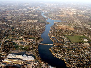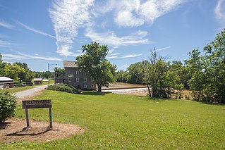
Berrien County is a county in the U.S. state of Michigan. It is located at the southwest corner of the state's Lower Peninsula, located on the shore of Lake Michigan and sharing a land border with Indiana. As of the 2020 Census, the population was 154,316. The county seat is St. Joseph.

Miami County is a county located in the U.S. state of Indiana. As of 2020, the population was 35,962. The county seat is the City of Peru. Miami County is part of the Kokomo-Peru CSA.

Paw Paw is a village and the county seat of Van Buren County, Michigan. The population was 3,534 at the 2010 census.
Paw Paw, Paw paw, or pawpaw may refer to:

The St. Joseph River is a 210-mile-long (340 km) river that flows in a generally westerly direction through southern Michigan and northern Indiana, United States, before emptying into Lake Michigan. The St. Joseph River drainage basin covers 4,685 square miles (12,130 km2), and is the third largest watershed draining to Lake Michigan. The land within its bounds is primarily used for agriculture. The river and its tributaries provide a variety of paddling and fishing environments. Historically, the river served as an important canoe transportation route for various Native American tribes, and for French Canadian Voyageurs.

Parish Grove Township is one of eleven townships in Benton County, Indiana. As of the 2020 census, its population was 185 and it contained 89 housing units. It contains the unincorporated town of Freeland Park.

Richland Township is one of fourteen townships in Miami County, Indiana, United States. As of the 2020 census, its population was 1,108 and it contained 470 housing units.

Noble Township is one of seven townships in Wabash County, Indiana, United States. As of the 2020 census, its population was 13,922 and it contained 6,511 housing units.

Paw Paw Township is one of seven townships in Wabash County, Indiana, United States. As of the 2020 census, its population was 1,542 and it contained 670 housing units.

Pleasant Township is one of seven townships in Wabash County, Indiana, United States. As of the 2020 census, its population was 2,388 and it contained 1,000 housing units.

Stockdale is an unincorporated community in Paw Paw Township, Wabash County and Miami County, in the U.S. state of Indiana.
Birmingham is an unincorporated community in Allen Township, Miami County, in the U.S. state of Indiana.
Chili (Cheye-leye) is an unincorporated community and census-designated place in Richland Township, Miami County, in the U.S. state of Indiana.
Miami is an unincorporated community and census-designated place (CDP) in Deer Creek Township, Miami County, in the U.S. state of Indiana.
South Peru is a neighborhood within Peru, Indiana in Washington Township, Miami County.
Anson was a community, now extinct, in Richland Township, Miami County, in the U.S. state of Indiana.
Wooleytown is a ghost town in Richland Township, Miami County, in the U.S. state of Indiana. Current Mayor of Wooleytown is Chadd A. Pattison.
Leonda was a community, now extinct, in Pipe Creek Township, Miami County, in the U.S. state of Indiana.
Cary was a community, now extinct, in Harrison Township, Miami County, in the U.S. state of Indiana.
Five Corners was a community in Allen Township, Miami County, in the U.S. state of Indiana.


