Wortegem-Petegem is a municipality located in the Belgian province of East Flanders. In 2021, Wortegem-Petegem had a total population of 6,445. The total area is 41.96 km2.

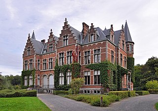
Boechout is a municipality of Belgium located in the Flemish province of Antwerp.
Machelen, or in full Machelen-aan-de-Leie, is a village in the municipality of Zulte in the province of East Flanders of Belgium. It was the hometown of the painter Roger Raveel.

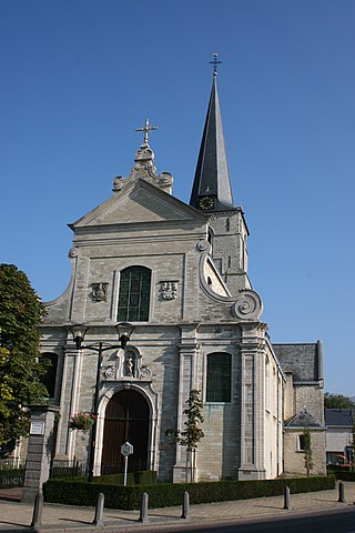
Moregem is a village in the municipality of Wortegem-Petegem located in the Belgian province of East Flanders. The village has as European sister village the French village Moringhem. It was an independent municipality until 1971 when it merged into Wortegem-Petegem.
Sint-Maria-Oudenhove is a village in the Denderstreek and in the Flemish Ardennes, the hilly southern part of the province of East Flanders, Belgium.

Erwetegem is a village and deelgemeente (sub-municipality) belonging to the municipality of Zottegem. It is located in the Denderstreek and in the Flemish Ardennes, the hilly southern part of the province of East Flanders, Belgium. Erwetegem used to be an independent municipality until 1970.
Broechem is a part of the municipality of Ranst in Antwerp Province, Flemish Region, Belgium. The village is located on the highest point of the region.
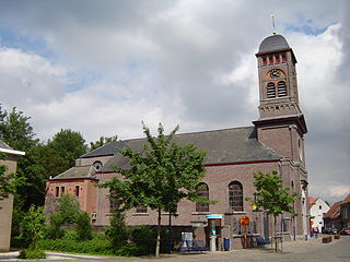
Oelegem is a village and deelgemeente (sub-municipality) of the municipality of Ranst in the province of Antwerp, Belgium. The village is located about 14 kilometres (8.7 mi) east of the city of Antwerp.
Vinderhoute is a village in the municipality of Lievegem in the province of East Flanders in Belgium. It is located in the Flemish Valley about 6 kilometres (3.7 mi) north-west of Ghent.

Zevergem is a village and deelgemeente (sub-municipality) of De Pinte in East Flanders, Belgium. It is located on the Scheldt about 8 kilometres (5.0 mi) south of Ghent.

Bellem is a village and deelgemeente (sub-municipality) in the municipality of Aalter in the Belgian province of East Flanders. The village was originally called Bethlehem. Bellem is located about 16 kilometres (9.9 mi) west of Ghent.

Oud-Rekem is a village in the Lanaken municipality of the Limburg province of Belgium. The village is considered one of the most authentic villages of Belgium. Since 1994, it is protected as a monument.

Kerkom-bij-Sint-Truiden is a village in the Sint-Truiden municipality of the Limburg province in the Flemish Community of Belgium. Kerkom-bij-Sint-Truiden was an independent municipality until 1970 when it merged with Borlo. In 1976, the village opted to become part of Sint-Truiden.

Haasdonk is a village and deelgemeente (sub-municipality) of Beveren in East Flanders, Belgium. Haasdonk was an independent municipality until 1 January 1977, when it merged with Beveren as part of the fusion of municipalities in Belgium. It is located about 12 kilometres (7.5 mi) west of Antwerp.

Liezele is a village and deelgemeente (sub-municipality) of the municipality of Puurs-Sint-Amands in the province of Antwerp, Belgium. The village is located about 20 kilometres (12 mi) south-south-west of the city of Antwerp. On the night of 4 to 5 September 1914, the entire village was destroyed by the Belgian Army to deny the Germany Army cover.

Rutten is a village in the Tongeren municipality of the Limburg province in the Flemish Community of Belgium. The village is located in the Haspengouw region, and was a separate municipality until its merger into Tongeren in 1977.

Viane is a village in the Geraardsbergen municipality of the East Flanders province in the Flemish Community of Belgium. The village is situated in the Denderstreek in the south east of the province, on the border with Flemish Brabant and Hainaut. The river Mark separates the village from the rest of Geraardsbergen.

Kallo is a village and deelgemeente (sub-municipality) of Beveren in East Flanders, Belgium. Kallo was an independent municipality until 1 January 1977, when it merged with Beveren as part of the fusion of municipalities in Belgium. Most of the deelgemeente consists of harbours and industrial zones.
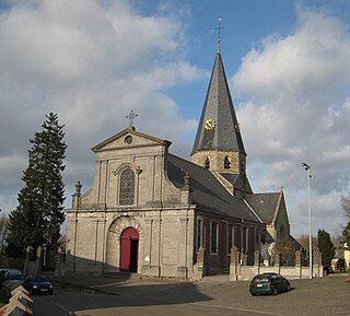
Wortegem is a village and seat of the municipality of Wortegem-Petegem in the Belgian province of East Flanders. It is located about 17 kilometres (11 mi) east of Kortrijk.

Tongerlo is a village and deelgemeente (sub-municipality) of the municipality of Westerlo in the province of Antwerp, Belgium. The village is located about 10 kilometres (6.2 mi) south-east of the city of Herentals. Tongerlo is best known for Tongerlo Abbey founded in 1128 which became one of the most important abbeys of Belgium.