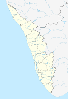
Puthunagaram is a village and gram panchayat in the Palakkad district, state of Kerala, India.

Birwadi is a census town in Raigad district in the state of Maharashtra, India.

Chandapur is a census town in Nayagarh district in the state of Odisha, India.

Chinnasekkadu is a neighbourhood of Chennai in Chennai district in the state of Tamil Nadu, India. Chinnasekkadu used to be a town panchayat in Thiruvallur district. In 2011, Chinnasekkadu town panchayat wss merged with Chennai Corporation. Chinnasekkadu comes under ward 29 in Zone 3(Madhavaram) of Chennai Corporation.

Desur is a Town panchayat in Tiruvanamalai district in the Indian state of Tamil Nadu.
Ezhudesam is a town panchayat in Kanniyakumari district in the state of Tamil Nadu, India.
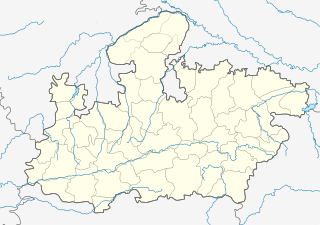
Ghuwara is a town and a nagar panchayat in Chhatarpur district in the Indian state of Madhya Pradesh.
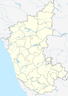
Konnur is a municipal council in the Belgaum District of Karnataka, India. It is located at 16.2°N 74.75°E and has an average elevation of 606 metres (1988 feet).

Lohian Khas is a town and a nagar panchayat in Jalandhar district in the Indian state of Punjab. There are 11 Wards in it. A bus stand and railway station also situated here. By train people go to Makhu, Ferozpur, Sultanpur Lodhi, Kapurthala, Nakodar, Jalandhar and Ludhiana. There are schools for computer education and Ielts academies also here.
Naravarikuppam is a town in Thiruvallur district in the Indian state of Tamil Nadu.also called redhills
Neyyoor is a panchayat town in Kanniyakumari district in the Indian state of Tamil Nadu.
Peerkankaranai is a town in Southern part of the metropolitan city of Chennai in the Indian state of Tamil Nadu.

Ramjibanpur is a city and a municipality in Paschim Medinipur district in the Indian state of West Bengal.
{{Infobox settlement | name = Raybag | other_name = Raibag | nickname = Bagi ur | settlement_type = town/taluka | image_skyline = | image_alt = | image_caption = | pushpin_map = India Karnataka#India | pushpin_label_position = right | pushpin_map_alt = | pushpin_map_caption = Location in Karnataka, India | coordinates = 16.48°N 74.78°E | subdivision_type = Country | subdivision_name = India | subdivision_type1 = State | subdivision_name1 = Karnataka | subdivision_type2 = District | subdivision_name2 = Belgaum | established_title = | established_date = | founder = | named_for = | government_type = | governing_body = Nagar Palika | unit_pref = Metric | area_footnotes = | area_rank = | area_total_km2 = | elevation_footnotes = | elevation_m = 590 | population_total = 18,984 | population_as_of = 2011 | population_rank = | population_density_km2 = auto | population_demonym = | population_footnotes = | demographics_type1 = Languages | demographics1_title1 = Official | demographics1_info1 = [[ಕನ್ನಡ][Kannada]] | timezone1 = IST | utc_offset1 = +5:30 | postal_code_type = | postal_code = 591317 | registration_plate = KA23 | website = karnataka.gov.in | iso_code = IN-KA | footnotes = }} Raybag is a panchayat town and taluka in Belgaum district in the Indian state of Karnataka. It derives its name from the two words namely "Raya'' and "bagh" in which "Raya'' means king and "bagh" means tiger.

Sahnewal is a town and a nagar council in Ludhiana district in the Indian state of Punjab.
Thevaram is a city in Theni district in the Indian state of Tamil Nadu. Thevaram is located in Tamil Nadu near on border of Kerala at the Eastern side foot-hill of the Western Ghats. It is connected with State Highway SH100.
Vengathur is a census town in Thiruvallur district in the Indian state of Tamil Nadu.
Venkatapur is a census town in Bhatkal Taluk in Uttara Kannada district of Karnataka.

Gangapur is a town and a nagar panchayat in Varanasi district in the state of Uttar Pradesh, India.
Kerur is a City in Bagalkot district in Karnataka, which located on NH 218. It has an average elevation of 617 meters (2024 feet). It's a birthplace of Jagadish Shettar, a former Chief Minister of Karnataka. Kerur is a Town Panchayat city in district of Bagalkot, Karnataka. The Kerur city is divided into 16 wards for which elections are held every five years. The Kerur Town Panchayat has population of 19,731 of which 9,929 are males while 9,802 are females as per report released by Census India 2011.