Paithan ['pəɪ.ʈʰaɳ], historically Pratiṣṭhāna [pɾə'tɪʂʈʰana], is a town with municipal council in Aurangabad district, Maharashtra, Maharashtra, India. Paithan is located 56 kilometres (35 mi) south of present-day Aurangabad on the banks of the Godavari River. It was the capital of the Satavahana dynasty, which ruled from the second century BCE to the second century CE. It is one of the few inland towns mentioned in the famous first-century Greek book, the Periplus of the Erythraean Sea.

Buldhana district is located in the Amravati division of Maharashtra, India. It is situated at the western border of Vidarbha region and is 500 km away from the state capital, Mumbai. The district has towns and cities like Shegaon, Malkapur, Khamgaon, Lonar and Chikhli. It is surrounded by Madhya Pradesh in the north, Akola, Washim, and Amravati districts on the east, Jalna district on the south, and Jalgaon and Aurangabad districts on the west. Khamgaon is the largest city in the district.
Buldhana is a City and a Municipal Council in the Indian state of Maharashtra. Established on 17 February 1893. It is the Administrative headquarters of the Buldhana District of Amravati division. It is the Second largest City in the district after Khamgaon and a popular place as a hill station because the city is surrounded by the mountainous area in the Ajanta range. Buldhana is around 552 km away from the state capital Mumbai. Buldhana has many religious, historical and tourist places around it like Balaji Temple in rajur ghat a replica of popular Balaji Temple of South India, is a famous religious and tourist place within city limits, Shri Gajanan Maharaj Temple in Shegaon around 75 km away, the World Famous Lonar Crater a National Geo-heritage monument created by meteorite impact is almost 100 km from city of Buldhana, Rajmata Jijau birthplace Sindkhed Raja is 90 km, Sailani Baba Dargah a major attraction of Buldhana just 25 km away from the city, The World Heritage Site Ajanta Caves is just 55 km away from the City and Dnyanganga Wildlife Sanctuary in Botha Forest is also just 20 km away from the city and many more tourist places are there around Buldhana City.

Barshi is a city located in Barshi Sub district of Solapur District of Maharashtra State of Republic of India.
Khamgaon is a city in Buldhana District, Maharashtra, India. It is the largest city in Buldhana district. It is well connected to all other big cities of Maharashtra and India through National Highway 6 and other state highways.
Ambad is a town with a municipal council in Jalna district in the state of Maharashtra, India. Ambad is notable for its temple dedicated to the Hindu goddess Matsyodari. In October of each year, devotees of the goddess gather in Ambad for the Hindu festival of Dashahara. A local tradition claims that the name "Ambad" was given to this city by a Hindu Raja named Ambarisha. According to this tradition, Raja Ambarisha would worship the goddess on a rock hill which resembled a fish. Because of this fish-shaped rock hill, the goddess was named Matsyodari. The temple was constructed by Ahilya Devi Holkar, who also has developed Ambad by constructing Pushkarini and Kavandi. Ambad is the second most populous town in district of Jalna. Ambad also has a Government Polytechnic College which is one of the only two Government Polytechnic Colleges located in Jalna district along with Government Polytechnic, Jalna. Ambad municipal council is convened at Court Road.
Chikhli is a city and a municipal council in Buldana district in Vidarbha Region of Maharashtra state, India. It is located on the Pune-Nagpur highway. It is situated at the westernmost border of Vidarbha region of Maharashtra and is 500 km from the state capital, Mumbai. Chikhli is situated on the border of the Marathwada Region and Vidarbha Regions of Maharashtra.
Darwha is a town and a municipal council in Yavatmal district in the state of Maharashtra, India.

Dharmabad is a town and a municipal council in Nanded district in the state of Maharashtra, India. It is located near the state border with Telangana. Dharmabad has an average elevation of 359 metres (1,178 ft). It is connected by railway. An industrial training institute was established in the town in 1977.
Patur is a town and a municipal council in Akola district in the Indian state of Maharashtra.

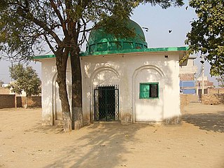
Rafiganj is a town and a notified area in Aurangabad district in the Indian state of Bihar. It is the district's second-largest town in population after Aurangabad, and also the second-largest town in area. Rafiganj is located 25 km away from the District Administration.
Jalgaon Jamod is a town in Buldhana district of Indian state of Maharashtra.

Wani is a 3rd largest city in Yavatmal district in the Indian state of Maharashtra.
Barshitakli is a city and a tehsil in Akola district in the Indian state of Maharashtra.
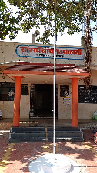
Warwat Bakal is a Gram Panchayat, in Sangrampur tehsil of Buldhana district, includes in Vidarbha region in the state of Maharashtra, India.
Karjule Hareshwar formerly called Karjule Harya is a village in Ahmednagar district of Maharashtra, India. This village is located on Kalyan Ahmednagar highway National Highway 222. It is located 50 km towards west from District headquarters Ahmednagar. 25 km from Parner. 181 km from State capital Mumbai. It is well known village as Mumbaikar's Village. Most of the family members are working in Mumbai in transportation and many more things. while coming from Mumbai the village border starts with kokate vasti - Hanuman temple and Baban Radhu unde Hotel on kalyan nagar Highway.
Kali : کالی دولت خان is a village in the Yavatmal district of Maharashtra, India. It is named after Daulat Khan Patel. Kali (DK) is 20 km away from Pusad, which is to the east of Mahagaon. The population of Kali (DK) is around 25,000.
Pimpalgaon Baswant is a town in Niphad Taluk, Nashik District, Maharashtra, India. It is located to the north of Kadva River, about 28 kilometres northeast of the district capital Nashik, and 16 kilometres northwest of the taluk capital Niphad. In the year 2011, it is home to 41,559 inhabitants.
Upalavi is a village in the Tehsil tasgaon of Sangli district, Maharashtra, India, about 18 kilometres north of Sangli. It is situated along the Sangli-Tasgaon state highway.