Related Research Articles

Interstate 16 (I-16), also known as Jim Gillis Historic Savannah Parkway, is an east–west Interstate Highway located entirely within the US state of Georgia. It carries the hidden designation of State Route 404 (SR 404) for its entire length. I-16 travels from downtown Macon, at an interchange with I-75 and SR 540 to downtown Savannah at Montgomery Street (exit 167B). It also passes through or near the communities of Dublin, Metter, and Pooler. I-16's unsigned designation of SR 404 has a spur that is signed in Savannah.

The Governor Edmund G. Brown California Aqueduct is a system of canals, tunnels, and pipelines that conveys water collected from the Sierra Nevada Mountains and valleys of Northern and Central California to Southern California. Named after California Governor Edmund Gerald "Pat" Brown Sr., the over 400-mile (640 km) aqueduct is the principal feature of the California State Water Project.
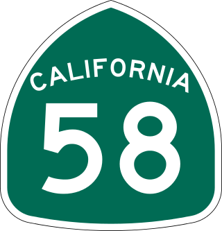
State Route 58 is a major east-west state highway in the U.S. state of California that runs across the Coast Ranges, the southern San Joaquin Valley, the Tehachapi Mountains, which border the southern Sierra Nevada, and the Mojave Desert. It runs between U.S. Route 101 near Santa Margarita and Interstate 15 in Barstow. It has junctions with Interstate 5 near Buttonwillow, State Route 99 in Bakersfield, State Route 202 in Tehachapi, State Route 14 near Mojave, and U.S. Route 395 at Kramer Junction. SR 58 also provides access to Edwards Air Force Base. At various points it is known as the Calf Canyon Highway, Carrisa Highway, Bakersfield-McKittrick Highway, Rosa Parks Highway, Westside Parkway, Barstow-Bakersfield Highway, Bakersfield Tehachapi Highway, Kern County Korean War Veterans Memorial Highway, and Mojave-Barstow Highway.
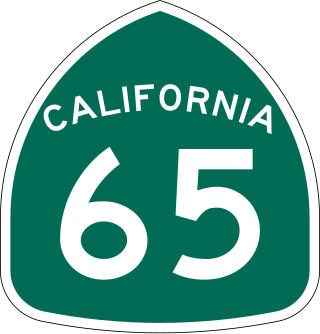
State Route 65 is a north-south state highway in the U.S. state of California. It is composed of two segments in the Central Valley. The southern segment begins at SR 99, near Bakersfield and terminates at SR 198 near Exeter. It also serves the communities of Oildale, Ducor, Terra Bella, Porterville, Strathmore, and Lindsay. The northern segment begins at Interstate 80 in Roseville and terminates at SR 70 at Olivehurst. It also serves the communities of Rocklin, Lincoln, and Wheatland.
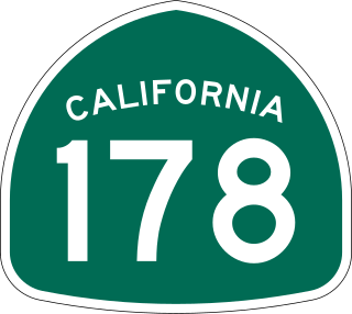
State Route 178 is a state highway in the U.S. state of California that exists in two constructed segments. The gap in between segments is connected by various local roads and State Route 190 through Death Valley National Park. The western segment runs from State Route 99 in Bakersfield and over the Walker Pass in the Sierra Nevada to the turnoff for the Trona Pinnacles National Natural Landmark. The eastern segment runs from the southeasterly part of Death Valley to Nevada State Route 372 at the Nevada state line.
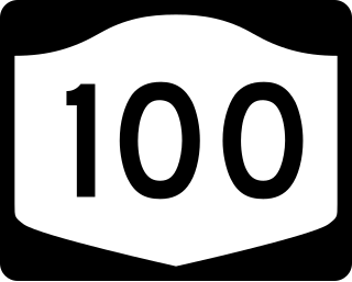
New York State Route 100 (NY 100) is a major north–south state highway in Westchester County, New York, in the United States. It begins parallel to Interstate 87 (I-87) at a junction with the Cross County Parkway in the city of Yonkers and runs through most of the length of the county up to U.S. Route 202 (US 202) in the town of Somers. NY 100 was designated as part of the 1930 renumbering of state highways in New York. Prior to becoming a state road, various sections of NY 100 were part of several important early roads in the county.
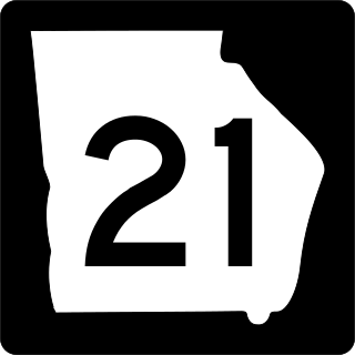
State Route 21 (SR 21) is an 84.4-mile-long (135.8 km) state highway that travels southeast-to-northwest through portions of Chatham, Effingham, Screven, and Jenkins counties in the eastern part of the U.S. state of Georgia. The highway connects the Savannah and Millen areas, via Garden City, Port Wentworth, Rincon, Springfield, and Sylvania.

In the US state of Georgia, Interstate 20 (I-20) travels from the Alabama state line to the Savannah River, which is the South Carolina state line. The highway enters the state near Tallapoosa. It travels through the Atlanta metropolitan area and exits the state in Augusta. The highway also travels through the cities of Bremen, Douglasville, Conyers, Covington, and Madison. I-20 has the unsigned state highway designation of State Route 402 (SR 402).

State Route 67 (SR 67) is a 59.2-mile-long (95.3 km) state highway that runs south-to-north through portions of Bryan, Bulloch, and Jenkins counties in the east-central part of the U.S. state of Georgia. The route connects Fort Stewart and Pembroke with Millen, via Statesboro.

U.S. Route 41 (US 41) is a part of the United States Numbered Highway System that runs from Miami, Florida, to the Upper Peninsula of the US state of Michigan. In the U.S. state of Georgia it travels 387 miles (623 km) from the Florida state line southeast of Lake Park to the Tennessee state line south of East Ridge, Tennessee. Within the state, US 41 is paralleled by Interstate 75 (I-75) all the way from Florida to Tennessee, and I-75 has largely supplanted US 41 as a major highway. Due to this, the majority of the highway is not part of the National Highway System.
There are 45 routes assigned to the "J" zone of the California Route Marker Program, which designates county routes in California. The "J" zone includes county highways in Alameda, Calaveras, Contra Costa, Fresno, Kern, Inyo, Mariposa, Merced, Sacramento, San Benito, San Joaquin, Stanislaus, and Tulare counties.

Kern County’s transportation system was quoted as the “unseen industry.” Located at the southern end of the San Joaquin Valley, the county is at a prime location to ship goods west to the central coast, south to ports in Los Angeles, and east to corridors that connect to the rest of the country. It is also on major corridors that link to all northern points.
Kern Island Canal is an irrigation canal in Kern County, California. It primarily irrigates farmland located on the Kern Lakebed, south of Bakersfield. It originates from a common diversion at Manor Street in Bakersfield, which also supplies the Carrier Canal and Eastside Canal. The common diversion originates from the Kern River about 1 mile (1.6 km) south of Gordon's Ferry.
Carrier Canal is an irrigation canal in Kern County, California. It originates from a common diversion at Manor Street in Bakersfield, which also supplies the Kern Island Canal and Eastside Canal. The common diversion originates from the Kern River about 1 mile (1.6 km) south of Gordon's Ferry. There are additional diversions from the Kern River at Golden State Highway and Coffee Road. The canal terminates at the Kern River, near Enos Lane west of Bakersfield. For its entire length, it runs roughly parallel to the Kern River.

Calloway Canal is an irrigation canal owned by the North Kern Water Storage District in Kern County, California. It originates from the Kern River, just east of Golden State Highway in Bakersfield. It terminates at reservoirs located south of Whisler Road and east of SR 99, near McFarland.
Beardsley Canal is an irrigation canal in Kern County, California. It originates at the Kern River, east of Gordon's Ferry and just west of the First Point of Measurement. It is the first diversion from the river in the San Joaquin Valley for agriculture irrigation. It terminates at reservoirs located in Famoso, just east of SR 99.
Eastside Canal is an irrigation canal in Kern County, California. It originates from a common diversion at Manor Street in Bakersfield, which also serves the Carrier Canal and Kern Island Canal. The common diversion originates from the Kern River, about 1 mile (1.6 km) south of Gordon's Ferry. The canal terminates south of Bear Mountain Boulevard, just west of Arvin.
Stine Canal is an irrigation canal in Kern County, California. It originates from the Carrier Canal adjacent to SR 99. It terminates at a reservoir on Bear Mountain Boulevard, just east of Gosford Road.
Buena Vista Canal is an irrigation canal in Kern County, California. It originates from the Carrier Canal at Coffee Road. The canal terminates at Lake Webb and the Kern River.
Governors Drive is a major east–west thoroughfare in Huntsville, Alabama. It follows U.S. Route 431 (US-431) in east Huntsville and State Route 53 (SR-53) in west Huntsville. Governors Drive is one of the main entrance points to the city from the east, carrying on average approximately 48,000 vehicles a day across Monte Sano Mountain.
References
- ↑ Darling, Curtis. Kern County Place Names. The Kern County Historical Society. 2003. ISBN 0-943500-18-4. Page: 75.
35°21′06″N119°11′27″W / 35.35167°N 119.19083°W
| | This Kern County, California-related article is a stub. You can help Wikipedia by expanding it. |