Playa Grande Airport | |||||||||||
|---|---|---|---|---|---|---|---|---|---|---|---|
| Summary | |||||||||||
| Airport type | Public | ||||||||||
| Serves | Playa Grande, Guatemala | ||||||||||
| Elevation AMSL | 577 ft / 176 m | ||||||||||
| Coordinates | 15°59′55″N90°44′30″W / 15.99861°N 90.74167°W Coordinates: 15°59′55″N90°44′30″W / 15.99861°N 90.74167°W | ||||||||||
| Map | |||||||||||
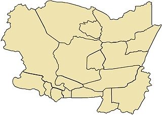
 PKJ Location in Quiché Department  PKJ Location in Guatemala | |||||||||||
| Runways | |||||||||||
| |||||||||||
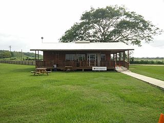
Playa Grande Airport( IATA : PKJ, ICAO : MGPG) is an airstrip serving the town of Playa Grande in the Quiché Department of Guatemala.
An IATA airport code, also known as an IATA location identifier, IATA station code or simply a location identifier, is a three-letter code designating many airports around the world, defined by the International Air Transport Association (IATA). The characters prominently displayed on baggage tags attached at airport check-in desks are an example of a way these codes are used.

The ICAOairport code or location indicator is a four-letter code designating aerodromes around the world. These codes, as defined by the International Civil Aviation Organization and published in ICAO Document 7910: Location Indicators, are used by air traffic control and airline operations such as flight planning.

Playa Grande is the administrative centre of the municipality of Ixcán in the Guatemalan department of El Quiché.
Contents
The runway is in the countryside 4 kilometres (2.5 mi) northeast of the town. The Rubelsanto non-directional beacon (Ident: RUB) is located 16.9 nautical miles (31.3 km) east of the airstrip. [3]

A non-directional (radio) beacon (NDB) is a radio transmitter at a known location, used as an aviation or marine navigational aid. As the name implies, the signal transmitted does not include inherent directional information, in contrast to other navigational aids such as low frequency radio range, VHF omnidirectional range (VOR) and TACAN. NDB signals follow the curvature of the Earth, so they can be received at much greater distances at lower altitudes, a major advantage over VOR. However, NDB signals are also affected more by atmospheric conditions, mountainous terrain, coastal refraction and electrical storms, particularly at long range.