
Puerto Rico Highway 2 (PR-2) is a road in Puerto Rico that connects the cities of San Juan and Ponce. At 156 miles (230 km) long, it is Puerto Rico's longest singled-signed highway.
Puerto Rico Highway 66 (PR-66) is a main tollway which parallels Puerto Rico Highway 3 going from the city of Carolina, Puerto Rico via a 3 loops cloverleaf interchange with PR-26 and PR-3, a major exit in the form of a Trumpet interchange in Canóvanas, Puerto Rico and ending in the municipality of Río Grande, Puerto Rico with an intersection of PR-3. It is only 19.5 kilometres (12.1 mi) long and has very few exits, which work mainly to minimize traffic in the congested Carolina area of PR-3.

Puerto Rico Highway 100 (PR-100) is a secondary highway in southwestern Puerto Rico, located mostly in the municipality of Cabo Rojo.

Puerto Rico Highway 116 (PR-116) is a main highway in the southwest part of Puerto Rico, beginning in Guánica, Puerto Rico at Puerto Rico Highway 2 to Lajas, Puerto Rico at Puerto Rico Highway 101.
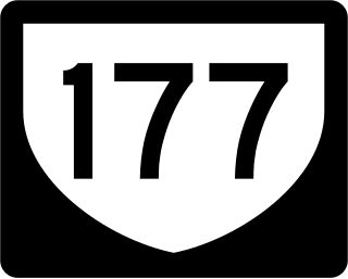
Puerto Rico Highway 177 (PR-177) is a main highway connecting the area of Cupey, San Juan, Puerto Rico to Bayamón, Puerto Rico. It passes through Guaynabo in the area known as Torrimar. It is divided in all of its length. In Bayamón, it ends in the intersection to Puerto Rico Highway 174 and Main Road, which connects to Puerto Rico Highway 2. In Cupey, it ends at Puerto Rico Highway 176.
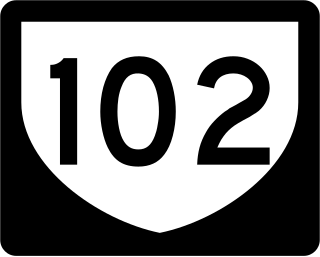
Puerto Rico Highway 102 (PR-102) is a main highway in the southwestern portion of the Porta del Sol region of Puerto Rico. It begins at Puerto Rico Highway 2 north of central Mayagüez and runs through the municipalities of Cabo Rojo and San Germán, coming to an end in downtown Sabana Grande.

Puerto Rico Highway 301 (PR-301) is a main highway in Cabo Rojo, Puerto Rico. It begins in PR-101, close to PR-100, and goes south all the way to Los Morrillos Light, where it ends. It is the main access to the lighthouse, the Cabo Rojo cliffs, and Playa Sucia.

Puerto Rico Highway 344 (PR-344) is a rural road in Hormigueros, Puerto Rico, beginning from near the municipality's small downtown and ending at PR-348 near the border with San Germán in barrio Rosario. It has narrow lanes, and after about five kilometers becomes one of the most dangerous highways in Puerto Rico, as it goes near a precipice with little or no safety barriers. It serves as a route to Mayagüez via PR-348 which ends in Puerto Rico Alt Route 2.
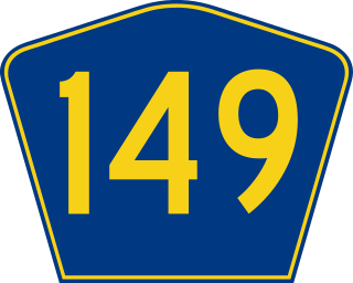
Puerto Rico Highway 149 (PR-149) is a secondary highway in Puerto Rico that connects the towns of Manatí in the north coast of Puerto Rico, from PR-22 to Juana Díaz in the south coast, ending at PR-1. It goes through Ciales, and is a divided highway and a wide rural highway between that municipality and Manatí, as it is also from Juana Díaz to Villalba. From Ciales to Villalba, it is an extremely dangerous mountain road, with very high areas and poor safety barriers. From Ciales to Villalba it passes through the Salto de Doña Juana, a spot with a small waterfall and a small creek where people can jump and swim. It is one of the longest highways going south to north, perhaps the longest excluding PR-1 and PR-52.
Puerto Rico Highway 156 (PR-156) is a long east–west highway which connects Caguas to Orocovis and is the main artery to Aguas Buenas since the highway from Puerto Rico Highway 52 to the main downtown has at least two lanes and a shoulder per direction. From Aguas Buenas to Orocovis it is a rural, yet safe road which enters all the business districts and plazas of Aguas Buenas, Comerío, Barranquitas and Orocovis. It is one of two long east–west highways through the center of the island but it never approaches a coast. Puerto Rico Highway 111 approaches Aguadilla's shore near PR-2 but PR-156, ending in Caguas, is nearly 35 kilometers away from the east coast.
Puerto Rico Highway 198 (PR-198) is a 15-kilometre-long (9 mi) highway that parallels Puerto Rico Highway 30 from Juncos, Puerto Rico, to Humacao, Puerto Rico, where it ends at Puerto Rico Highway 3. Like Puerto Rico Highway 189, it passes through the business centers of Juncos, Las Piedras and Humacao.
Puerto Rico Highway 120 (PR-120) is a main highway connecting Las Marías, Maricao and Sabana Grande, and is the main road through the Monte del Estado.
Puerto Rico Highway 165 (PR-165) is the road that goes from Naranjito to Guaynabo. The highway passes by Toa Alta, Toa Baja, Dorado, Levittown, Cataño and Guaynabo.

Puerto Rico Highway 101 (PR-101) is a rural road leaving the town of Boquerón, Cabo Rojo and Lajas, to the town of San Germán. Among their intersections are the PR-100, PR-301, PR-103 PR-116, PR-166 and PR-102.
Puerto Rico Highway 114 (PR-114) is a rural road that travels from Mayagüez to San Germán. PR-114 begins at the intersection of PR-2 and Avenida los Corazones in Mayagüez and ends at the intersection with PR-102 at the entrance to the center of San Germán. This road passes through the municipalities of Hormigueros and Cabo Rojo before coming to San Germán.

Puerto Rico Highway 124 (PR-124) is a rural road that connects from Lares to Las Marías.

Puerto Rico Highway 166 (PR-166) is a by-pass in San Germán, Puerto Rico. The highway is an avenue which was built for drivers passing through PR-102 could bypass the downtown area of San Germán.
Puerto Rico Highway 122 (PR-122) is mostly an avenue connecting downtown San Germán with Highway 2. After intersecting with Highway 166, the avenue ends and the highway becomes a narrow, rural road until its end.

Puerto Rico Highway 139 (PR-139) is a two-way secondary highway in the municipality of Ponce, Puerto Rico.

Puerto Rico Highway 155 (PR-155) is a rural road that goes from Coamo, Puerto Rico to Vega Baja through Orocovis and Morovis. It extends from PR-14 in downtown Coamo to PR-2 east of downtown Vega Baja.
