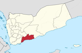
Abyan is a governorate of Yemen. The Abyan region was historically part of the Fadhli Sultanate. It was a base to the Aden-Abyan Islamic Army militant group. Its capital is the city of Zinjibar. This governorate is noted for its agriculture, in particular the cultivation of date palms and animal husbandry.
Pennsylvania's 27th congressional district was one of Pennsylvania's districts of the United States House of Representatives.

Landhagen is an Amt in the district of Vorpommern-Greifswald, in Mecklenburg-Vorpommern, Germany. The seat of the Amt is in Neuenkirchen.
Chrouy Sdau is a khum (commune) of Thma Koul District in Battambang Province in north-western Cambodia.

Vĩnh Cửu is a rural district of Đồng Nai province in the Southeast region of Vietnam. As of 2003 the district had a population of 106,067. The district covers an area of 1122 km². The district capital lies at Vĩnh An.
Bình Gia is a rural district of Lạng Sơn province in the Northeast region of Vietnam. As of 2003, the district had a population of 54,349. The district covers an area of 1,091 km2. The district capital lies at Bình Gia.
Kadamat al faysh is a village in south-western Yemen. It is located in the Abyan Governorate.
Iyal Surayh District is a district of the 'Amran Governorate, Yemen. As of 2003, the district had a population of 54,015 inhabitants.

Sarar District is a district of the Abyan Governorate, Yemen. As of 2003, the district had a population of 15,093 inhabitants.
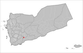
Sibah District is a district of the Abyan Governorate, Yemen. As of 2003, the district had a population of 15,996 inhabitants.
Bayt al-Faqih District is a district of the Al Hudaydah Governorate, Yemen. As of 2003, the district had a population of 241,300 inhabitants.
Bura District is a district of the Al Hudaydah Governorate, Yemen. As of 2003, the district had a population of 45,116 inhabitants.
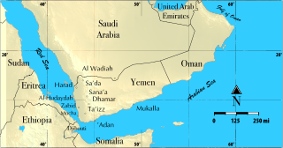
Harad District is a district of the Hajjah Governorate, Yemen. As of 2003, the district had a population of 93,523 inhabitants.
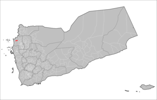
Hayran District is a district of the Hajjah Governorate, Yemen. As of 2003, the district had a population of 15,491 people.

Rumah District is a district of the Hadhramaut Governorate, Yemen. As of 2021, the district had a population of 10,080 inhabitants.
Harib District is a district of the Ma'rib Governorate, Yemen. As of 2003, the district had a population of 33,663 inhabitants.
Sirwah District is a district of the Ma'rib Governorate, Yemen. As of 2003, the district had a population of 19,939 inhabitants.

Arhab District is a district of the Sana'a Governorate, Yemen. As of 2003, the district had a population of 90,038 inhabitants.
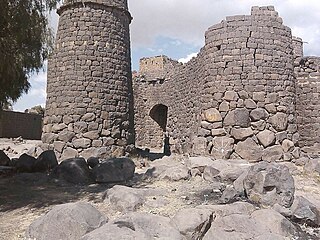
Hamdan District is a district of the Sana'a Governorate, Yemen. As of 2003, the district had a population of 85,370 inhabitants. It is named after the ancient Yemeni tribe of Hamdan.
Sa'fan District is a district of the Sana'a Governorate, Yemen. As of 2003, the district had a population of 33,722 inhabitants.


