Rasirik | |
|---|---|
Village | |
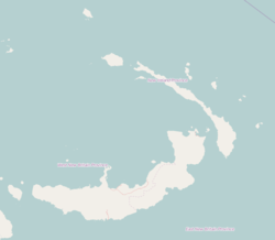 Rasirik Location | |
| Coordinates: 3°43′S152°22′E / 3.717°S 152.367°E | |
| Country | |
| Province | New Ireland Province |
| District | Namatanai District |
Rasirik is a village on the west coast of New Ireland, Papua New Guinea. It is located to the south of Labur. The government has exploited timber reserves in the area. [1] It is located in Namatanai Rural LLG. [2] [3] [4]