Related Research Articles
Pike Creek is a stream in Carter and Shannon counties in the Ozarks of southern Missouri. It is a tributary of the Current River.
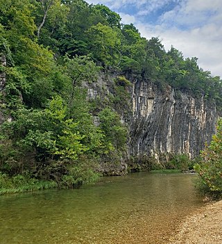
Elk Valley is a valley in Christian County in the Ozarks of southwest Missouri.
Black Jack Creek is a stream in Crawford County in the U.S. state of Missouri. It is a tributary of Cherry Valley Creek.
Sinking Creek is a stream in Dent, Reynolds and Shannon counties in the Ozarks of southeast Missouri. It is a tributary of the Current River.
Knob Creek is a stream in Iron and St. Francois counties in the U.S. state of Missouri. It is a tributary of Stouts Creek.
McClurg Branch is a stream in Iron County in the U.S. state of Missouri. It is a tributary of Cedar Creek.
Neals Creek is a stream in southern Iron County in the U.S. state of Missouri. It is a tributary of Strother Creek.
Stinking Pond Hollow is a stream valley in eastern Oregon County in the U.S. state of Missouri. The stream is a tributary to the Eleven Point River.
Kaintuck Hollow is a valley in western Phelps County in the Ozarks of Missouri.
Griffin Hollow is a valley in Ralls County in the U.S. state of Missouri. The valley stream is a tributary to the Salt River.
Bills Creek is a stream in Iron and Reynolds counties in the U.S. state of Missouri. It is a tributary of the West Fork of the Black River and is located in the Mark Twain National Forest.
McMurtrey Creek is a stream in northwest Reynolds County in the U.S. state of Missouri. It is a tributary of the West Fork Black River.
Carr Hollow is a valley in Shannon County in the U.S. state of Missouri. The southeast flowing intermittent stream in the valley is a tributary to McHenry Hollow. The stream source is at 37°17′17″N91°28′05″W and the confluence with McHenry Hollow is at 37°16′08″N91°28′54″W at an elevation of 853 feet.
Cedargrove is an extinct town in the northwest corner of Shannon County, in the Ozarks of southern Missouri. The GNIS classifies it as a populated place. The community is located just south of the Shannon - Dent county line on the Current River, just north of the Big Creek confluence with the Current. It lies at the end of Missouri Route B, two miles east of the Shannon - Texas county line.
Gladden Creek is a stream in Dent and Shannon counties in the Ozarks of southern Missouri. It is a tributary of the Current River.
Howell Hollow is a valley in northwest Shannon County in the U.S. state of Missouri. The northeast flowing intermittent stream in the valley is a tributary to the Current River about one mile northwest of Akers. The source area is at 37°22′35″N91°36′38″W and the confluence is at 37°22′30″N91°35′17″W with an elevation of 863 feet (263 m).
Jam Up Hollow is a valley in Shannon County in the U.S. state of Missouri. The intermittent stream of the valley is a small west flowing tributary of Pine Hollow about four miles southeast of Delaware on Mahans Creek. The source area for the hollow stream is at 37°04′29″N91°28′19″W and the confluence with Pine Hollow is at 37°04′59″N91°26′12″W.
Big Creek is a stream in Shannon and Texas counties in the Ozarks of southern Missouri. It is a tributary of the Current River.
Spring Valley Creek is a stream in Texas and Shannon counties of the Ozarks of southern Missouri. The stream is a tributary of the Current River.
Pigeon Creek is a stream in Texas and Dent counties of southern Missouri. It is a tributary of the Current River.
References
- 1 2 U.S. Geological Survey Geographic Names Information System: Razor Hollow
- 1 2 Cedargrove, Missouri, 7.5 Minute Topographic Quadrangle, USGS, 1951 (1985 revision)
- ↑ "Shannon County Place Names, 1928–1945". The State Historical Society of Missouri. Archived from the original on June 24, 2016. Retrieved December 25, 2016.
| | This Shannon County, Missouri state location article is a stub. You can help Wikipedia by expanding it. |