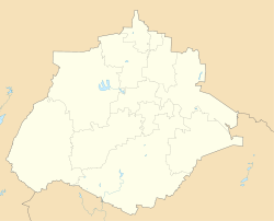
Real de Asientos | |
|---|---|
 | |
| Coordinates: 21°49′25″N102°11′15″W / 21.82361°N 102.18750°W | |
| Country | |
| State | |
| Municipality | Asientos |
| Population (2010) | |
• Total | 4,481 |
| Time zone | UTC−6 (Central) |
Real de Asientos, known among its inhabitants as Villa de Asientos, is a locale in the Mexican state of Aguascalientes. It is located 11 miles north of the city of Aguascalientes and has a population of 4,481. [1]
It serves as the municipal seat of the surrounding municipality of Asientos.
Real de Asientos was declared a Pueblo Mágico by the federal Secretariat of Tourism (SECTUR) in 2006. [2]

